File:Baltimore-Washington TAC 82.png
پرش به ناوبری
پرش به جستجو

اندازهٔ این پیشنمایش: ۸۰۰ × ۵۸۹ پیکسل. کیفیتهای دیگر: ۳۲۰ × ۲۳۵ پیکسل | ۶۴۰ × ۴۷۱ پیکسل | ۱٬۰۲۴ × ۷۵۳ پیکسل | ۱٬۲۸۰ × ۹۴۲ پیکسل | ۲٬۵۶۰ × ۱٬۸۸۴ پیکسل | ۴٬۰۰۰ × ۲٬۹۴۳ پیکسل.
پروندهٔ اصلی (۴٬۰۰۰ × ۲٬۹۴۳ پیکسل، اندازهٔ پرونده: ۶٫۸۵ مگابایت، نوع MIME پرونده: image/png)
گزینهها
عنوان
شرحی یکخطی از محتوای این فایل اضافه کنید
| توضیح |
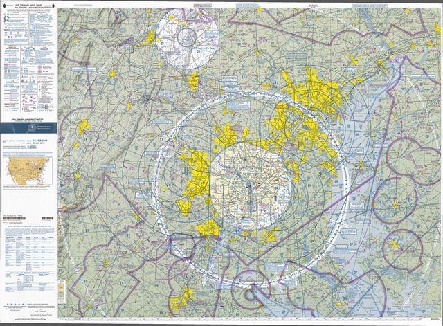
English: VFR Terminal Area Raster Aeronautical Chart Baltimore/Washington, 82nd edition. This map is valid until ۲۸ ژوئیه ۲۰۱۱, be sure to get the newest edition at the official FAA website |
| تاریخ |
|
| منبع | Baltimore-Washington_TAC_82.tif in Baltimore-Washington_TAC_82.zip. Note: The ZIP-File may become unavailable when the map is updated, newer editions will be available here |
| پدیدآور | US Department of Transportation, Federal Aviation Administration, National Aeronautical Navigation Services |
| دیگر نسخهها |
This image or file is a work of a Federal Aviation Administration employee, taken or made as part of that person's official duties. As a work of the U.S. federal government, the image is in the public domain in the United States.
|
 |
تاریخچهٔ پرونده
روی تاریخ/زمانها کلیک کنید تا نسخهٔ مربوط به آن هنگام را ببینید.
| تاریخ/زمان | بندانگشتی | ابعاد | کاربر | توضیح | |
|---|---|---|---|---|---|
| کنونی | ۲۷ آوریل ۲۰۱۱، ساعت ۱۲:۵۴ | | ۴٬۰۰۰ در ۲٬۹۴۳ (۶٫۸۵ مگابایت) | El Grafo (بحث | مشارکتها) | smaller version to enable thumbnails |
| ۲۷ آوریل ۲۰۱۱، ساعت ۱۲:۴۹ |  | ۸٬۰۰۰ در ۵٬۸۸۵ (۲۵٫۵۷ مگابایت) | El Grafo (بحث | مشارکتها) | {{Information |Description={{en|1=VFR Terminal Area Raster Aeronautical Chart Baltimore/Washington, 82nd edition. This map is valid until {{date|2011|07|28}}, be sure to get the newest edition at the official [http://aeronav.faa.gov/index.asp?xml=aeronav/ |
شما نمیتوانید این پرونده را رونویسی کنید.
کاربرد پرونده
صفحهٔ زیر از این تصویر استفاده میکند:
کاربرد سراسری پرونده
ویکیهای دیگر زیر از این پرونده استفاده میکنند:
- کاربرد در bg.wikipedia.org
- کاربرد در de.wikipedia.org
- کاربرد در en.wikipedia.org
- کاربرد در fa.wikipedia.org
- کاربرد در fi.wikipedia.org
- کاربرد در ja.wikipedia.org
- کاربرد در oc.wikipedia.org
- کاربرد در vi.wikipedia.org