File:Beaver Lake to Little Beaver Lake (98843e5d-7679-46a4-b87e-df08aee6d878).JPG
Jump to navigation
Jump to search
Size of this preview: 450 × 600 pixels. Other resolutions: 180 × 240 pixels | 360 × 480 pixels | 576 × 768 pixels | 768 × 1,024 pixels | 1,536 × 2,048 pixels | 3,024 × 4,032 pixels.
Original file (3,024 × 4,032 pixels, file size: 5.02 MB, MIME type: image/jpeg)
Captions
Captions
Add a one-line explanation of what this file represents
| Camera location | | View this and other nearby images on: OpenStreetMap |
|---|
.JPG¶ms=046.482761_N_-086.540122_E_globe:Earth_type:camera_alt:197.25269_source:exif_heading:140.80&language=en)

|
The categories of this image need checking. You can do so here.
|
.JPG&action=edit&withJS=MediaWiki:Catcheck.js)
Summary
[edit].JPG&action=edit§ion=1)
| English: Beaver Lake to Little Beaver Lake | ||||
|---|---|---|---|---|
| Photographer |
English: NPS |
|||
| Title |
English: Beaver Lake to Little Beaver Lake |
|||
| Description |
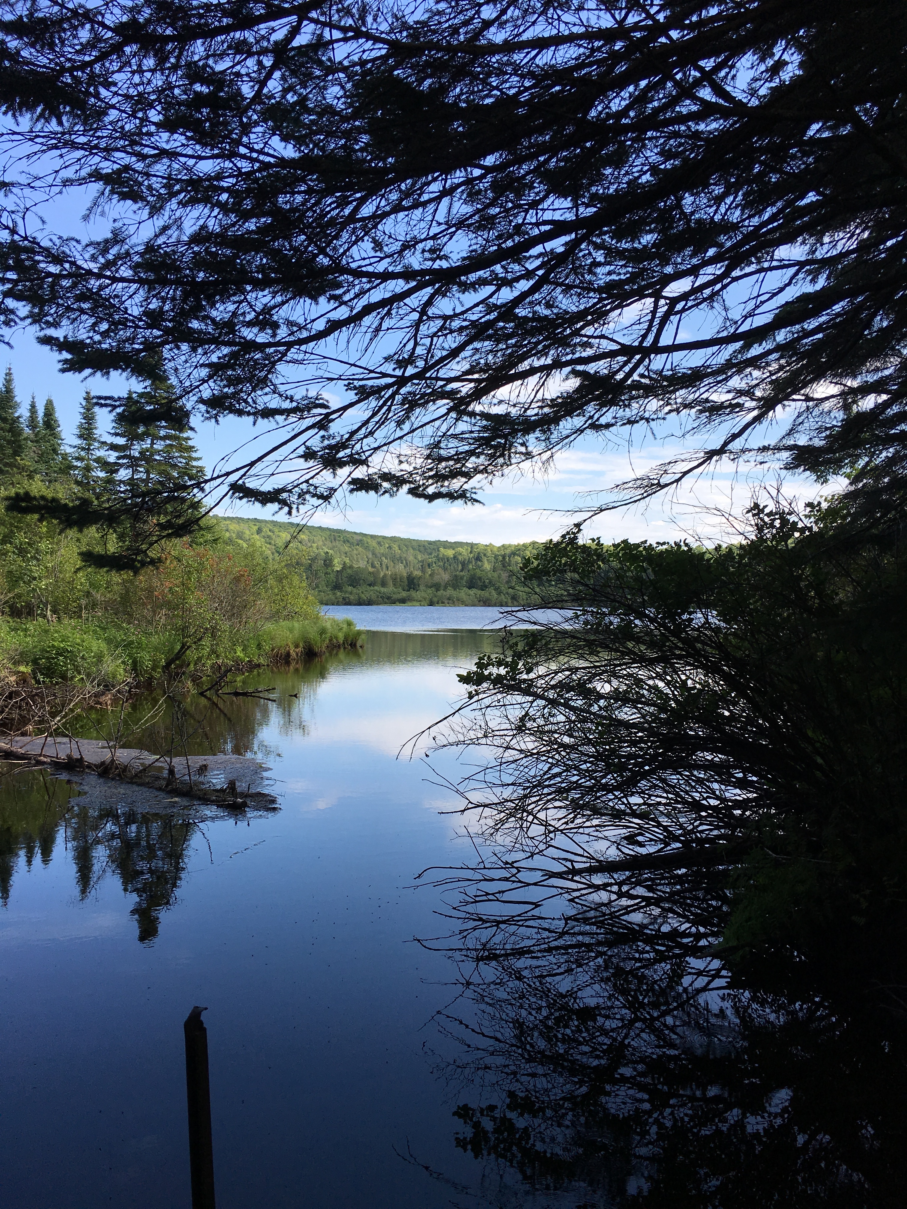
English: narrow section of Beaver Lake where it flows into Little Beaver Lake. Beaver Lake to Little Beaver Lake
|
|||
| Depicted place |
English: Pictured Rocks National Lakeshore, Alger County, Michigan |
|||
| Date | Taken on 8 August 2017 | |||
| Accession number | ||||
| Source |
English: NPGallery |
|||
| Permission (Reusing this file) |
|
|||
| NPS Unit Code | PIRO | |||
File history
Click on a date/time to view the file as it appeared at that time.
| Date/Time | Thumbnail | Dimensions | User | Comment | |
|---|---|---|---|---|---|
| current | 17:51, 15 January 2022 | | 3,024 × 4,032 (5.02 MB) | BMacZeroBot (talk | contribs) | Batch upload (Commons:Batch uploading/NPGallery) |
You cannot overwrite this file.
File usage on Commons
The following page uses this file:
.JPG)
.JPG&oldid=819807466)