File:Beginning of Grande Randonnée en Haute Ardennes, BE.jpg
Jump to navigation
Jump to search
Size of this preview: 800 × 520 pixels. Other resolutions: 320 × 208 pixels | 640 × 416 pixels | 1,024 × 666 pixels | 1,280 × 832 pixels | 2,560 × 1,664 pixels | 6,000 × 3,900 pixels.
Original file (6,000 × 3,900 pixels, file size: 29.37 MB, MIME type: image/jpeg)
Captions
Captions
Add a one-line explanation of what this file represents
Summary
[edit]| Description |
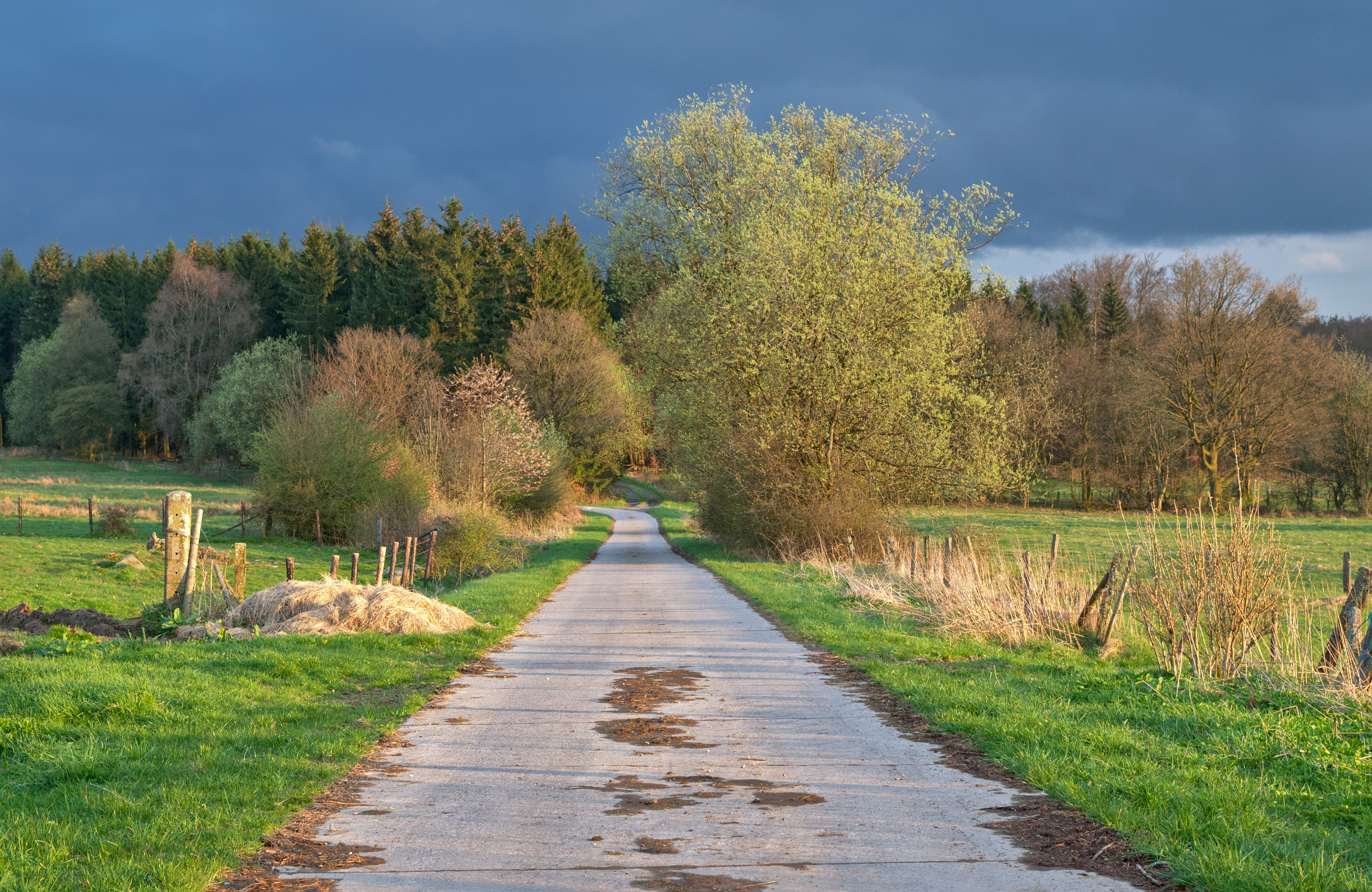
English: Beginning of the "Haute Ardenne" 2.5 days hike organized by escapardenne which starts in Pisserotte. This picture was taken in Tailles (Houffalize). |
| Date | |
| Source | Own work |
| Author | Trougnouf |
| Other versions |
|
.jpg)

.jpg)
| Camera location | | View this and other nearby images on: OpenStreetMap |
|---|
Licensing
[edit]
I, the copyright holder of this work, hereby publish it under the following license:
This file is licensed under the Creative Commons Attribution 4.0 International license.
- You are free:
- to share – to copy, distribute and transmit the work
- to remix – to adapt the work
- Under the following conditions:
- attribution – You must give appropriate credit, provide a link to the license, and indicate if changes were made. You may do so in any reasonable manner, but not in any way that suggests the licensor endorses you or your use.
This image has been assessed using the Quality image guidelines and is considered a Quality image.
|
File history
Click on a date/time to view the file as it appeared at that time.
| Date/Time | Thumbnail | Dimensions | User | Comment | |
|---|---|---|---|---|---|
| current | 13:26, 23 December 2018 | | 6,000 × 3,900 (29.37 MB) | Trougnouf (talk | contribs) | Processed with darktable |
| 19:51, 22 November 2017 |  | 6,000 × 4,000 (12.4 MB) | Embedded Data Bot (talk | contribs) | This file contains embedded data: After 12.4MiB (13003264 bytes, via Ending): Identified type: image/jpeg (JPEG image data, Exif standard: [TIFF image data, little-endian, direntries=1], baseline, precision 8, 640x424, frames 3); After 1... | |
| 19:50, 22 November 2017 |  | 6,000 × 4,000 (13.42 MB) | Trougnouf (talk | contribs) | User created page with UploadWizard |
You cannot overwrite this file.
File usage on Commons
The following 10 pages use this file:
- User:Trougnouf
- User:Trougnouf/Doodling
- User:Trougnouf/another page
- User talk:Trougnouf/Archive 2018 2
- Commons:Quality images/Technical/Depth of field
- Commons:Quality images candidates/Archives December 26 2018
- File:Beginning of Grande Randonnée en Haute Ardennes, BE.jpg
- File:Human walking into Belgian woods (DSC 0087).jpg
- File:Purple wearing hiker smiling in the ruins of a house (DSC 0068).jpg
- Category:Photographs by Trougnouf/Possible FPC
File usage on other wikis
The following other wikis use this file:
- Usage on fr.wikipedia.org