File:Berlin Französischer Friedhof II Grab Theodor Fontane 2022.jpg
Jump to navigation
Jump to search

Size of this preview: 743 × 600 pixels. Other resolutions: 297 × 240 pixels | 595 × 480 pixels | 951 × 768 pixels | 1,269 × 1,024 pixels | 2,262 × 1,826 pixels.
Original file (2,262 × 1,826 pixels, file size: 3.08 MB, MIME type: image/jpeg)
Captions
Captions
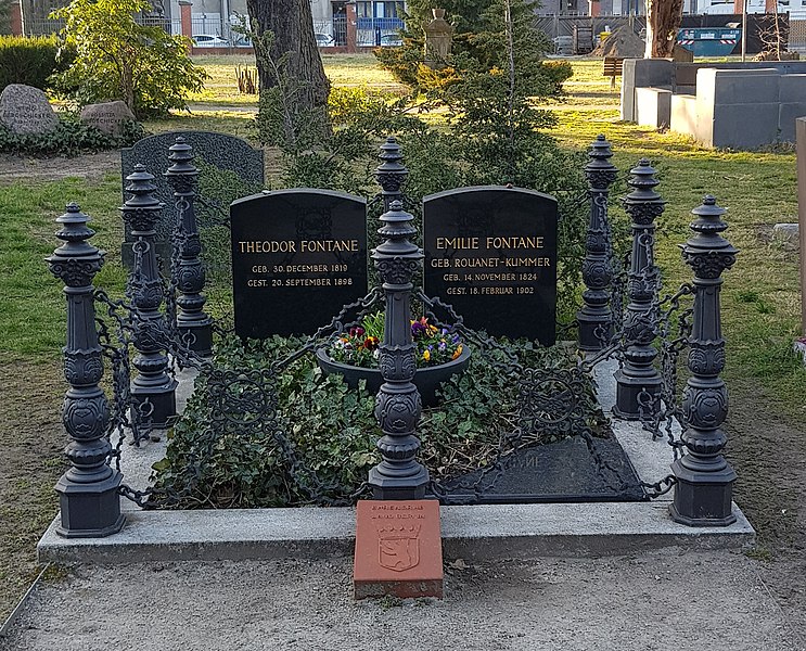
Grave of Theodor Fontane, Französischer Friedhof II, March 2022
Summary[edit]
| Description |
Deutsch: Grabstätte Theodor Fontane auf dem Französischen Friedhof II, Berlin-Mitte, März 2022
English: Grave of Theodor Fontane on the Französischer Friedhof II, Berlin-Mitte, March 2022 |
|||||||||||||||||||||||
| Date | 29 March 2022 (according to Exif data) | |||||||||||||||||||||||
| Source | Own work | |||||||||||||||||||||||
| Author |
© Karsten Hoffmeyer (karsten hoffmeyer.info)
|
|||||||||||||||||||||||
| Permission (Reusing this file) |
I, the copyright holder of this work, hereby publish it under the following license: This file is licensed under the Creative Commons Attribution-Share Alike 4.0 International license. Attribution: Karsten Hoffmeyer (https://karsten.hoffmeyer.info)
|
|||||||||||||||||||||||
| Other versions | File:Berlin Französischer Friedhof II Grab Theodor Fontane 2022 sc.jpg (converging lines corrected, cropped) | |||||||||||||||||||||||

| Camera location | | View this and other nearby images on: OpenStreetMap |
|---|
| This file was uploaded via Mobile Android App (Commons mobile app) 3.1.1~1c9267ca0. |
File history
Click on a date/time to view the file as it appeared at that time.
| Date/Time | Thumbnail | Dimensions | User | Comment | |
|---|---|---|---|---|---|
| current | 21:13, 28 March 2022 | | 2,262 × 1,826 (3.08 MB) | Marbot (talk | contribs) | Uploaded using Commons Mobile App |
You cannot overwrite this file.
File usage on Commons
The following 2 pages use this file: