File:Bir Tawil 250 txu-oclc-6594739-nf36-11.jpg
跳至導覽
跳至搜尋

預覽大小:791 × 599 像素。 其他解析度:317 × 240 像素 | 634 × 480 像素 | 1,014 × 768 像素 | 1,280 × 970 像素 | 2,560 × 1,940 像素 | 4,600 × 3,486 像素。
原始檔案 (4,600 × 3,486 像素,檔案大小:5.35 MB,MIME 類型:image/jpeg)
說明
說明
添加單行說明來描述出檔案所代表的內容
摘要[編輯]
| 描述 |
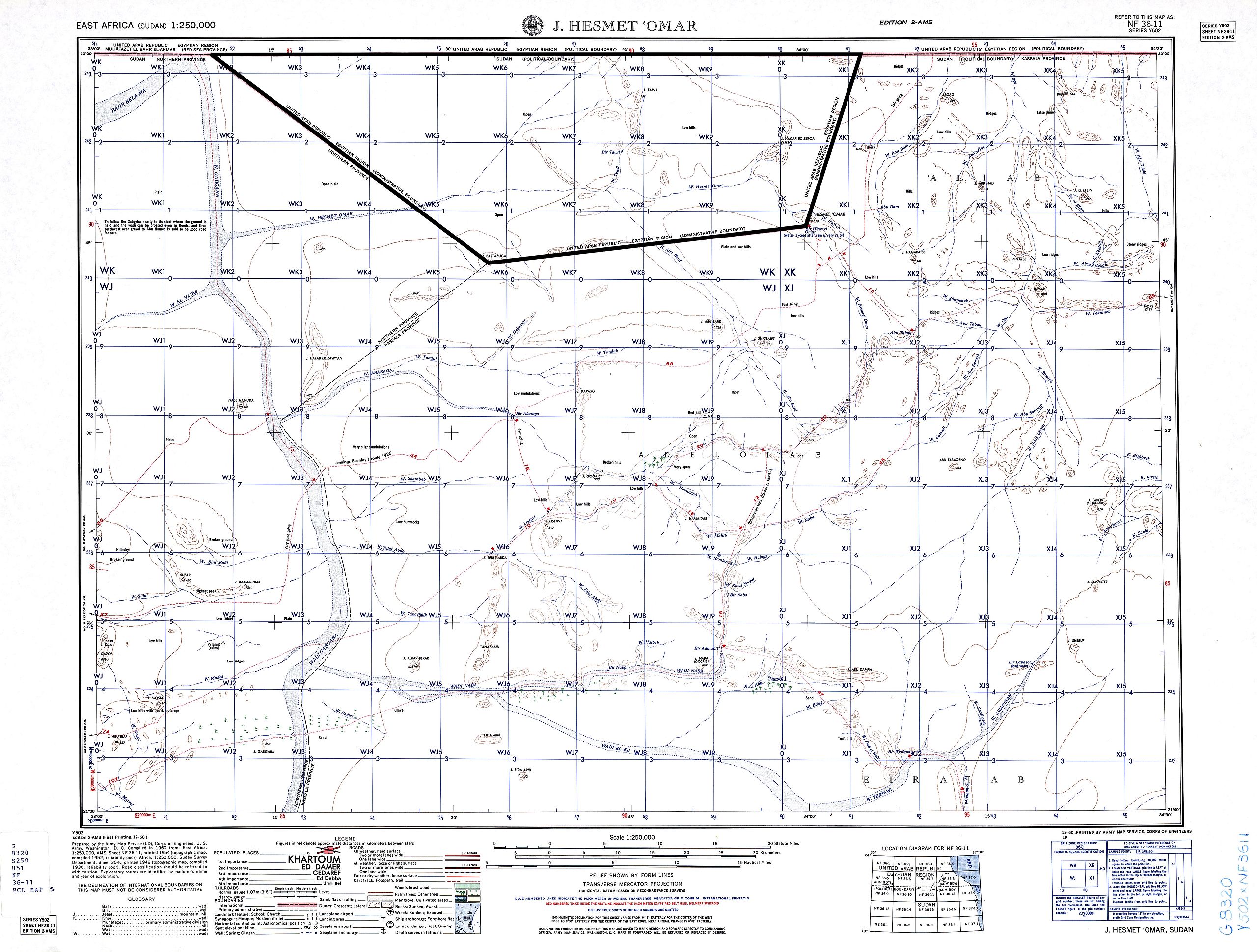
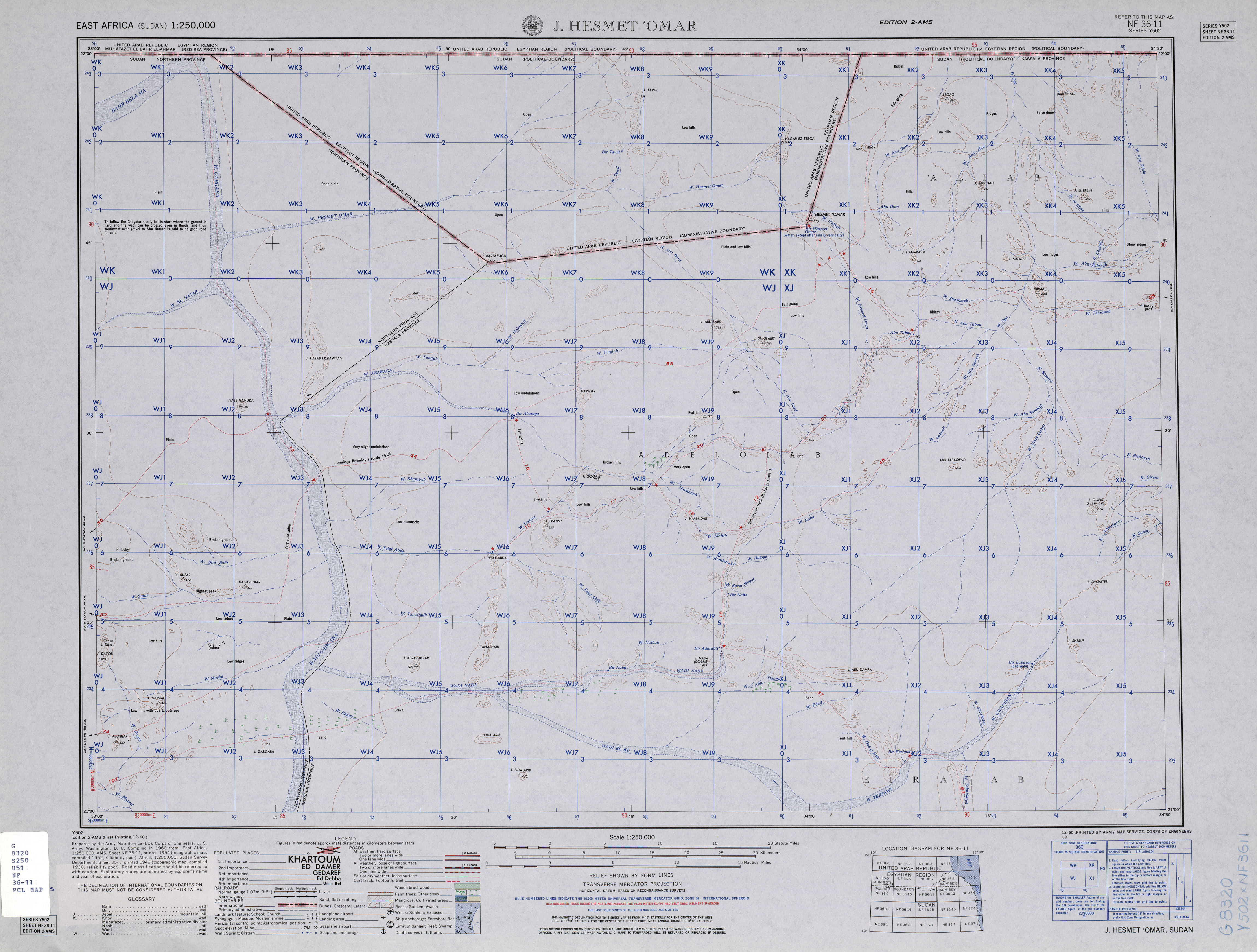
English: map of Bir Tawil area, Southern Egypt / Northern Sudan (no man's land) and area of northern Sudan to the south of it |
| 日期 | |
| 來源 | http://www.lib.utexas.edu/maps/ams/east_africa/txu-oclc-6594739-nf36-11.jpg |
| 作者 | Army Map Service, Corps of Engineers, U.S. Army |
授權條款[編輯]
|
|
 |
檔案歷史
點選日期/時間以檢視該時間的檔案版本。
| 日期/時間 | 縮圖 | 尺寸 | 使用者 | 備註 | |
|---|---|---|---|---|---|
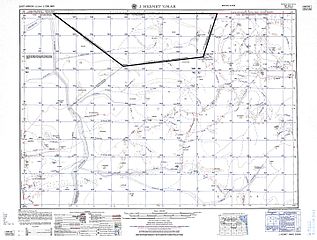
| 目前 | 2015年9月20日 (日) 13:15 | | 4,600 × 3,486(5.35 MB) | Iaroslavvs(留言 | 貢獻) | quadrangle (i.e. Bir Tawil's) boundaries highlighted |
| 2013年12月29日 (日) 13:52 |  | 4,600 × 3,486(3 MB) | JasonAQuest(留言 | 貢獻) | better contrast | |
| 2010年11月4日 (四) 14:17 |  | 4,600 × 3,486(2.84 MB) | Thoroe(留言 | 貢獻) | grey -> white | |
| 2010年5月29日 (六) 22:45 |  | 4,600 × 3,486(2.8 MB) | Ratzer(留言 | 貢獻) | {{Information |Description={{en|1=map of Bir Tawil area, Southern Egypt / Northern Sudan (no man's land) and area of northern Sudan to the south of it}} |Source=http://www.lib.utexas.edu/maps/ams/east_africa/txu-oclc-6594739-nf36-11.jpg |Author=Army Map S |
無法覆蓋此檔案。
檔案用途
沒有使用此檔案的頁面。
全域檔案使用狀況
以下其他 wiki 使用了這個檔案:
- ar.wikipedia.org 的使用狀況
- az.wikipedia.org 的使用狀況
- bg.wikipedia.org 的使用狀況
- de.wikipedia.org 的使用狀況
- el.wikipedia.org 的使用狀況
- fi.wikipedia.org 的使用狀況
- hy.wikipedia.org 的使用狀況
- it.wikipedia.org 的使用狀況
- ja.wikivoyage.org 的使用狀況
- ru.wikipedia.org 的使用狀況
- sr.wikipedia.org 的使用狀況
- uk.wikipedia.org 的使用狀況
- zh.wikipedia.org 的使用狀況