File:Blaeu - Atlas of Scotland 1654 - INSULÆ ALBION et HIBERNIA cum minoribus adjacentibus - British Isles.jpg
跳至導覽
跳至搜尋
預覽大小:710 × 599 像素。 其他解析度:284 × 240 像素 | 569 × 480 像素 | 910 × 768 像素 | 1,213 × 1,024 像素 | 2,427 × 2,048 像素 | 6,083 × 5,134 像素。
原始檔案 (6,083 × 5,134 像素,檔案大小:6.91 MB,MIME 類型:image/jpeg)
說明
說明
添加單行說明來描述出檔案所代表的內容
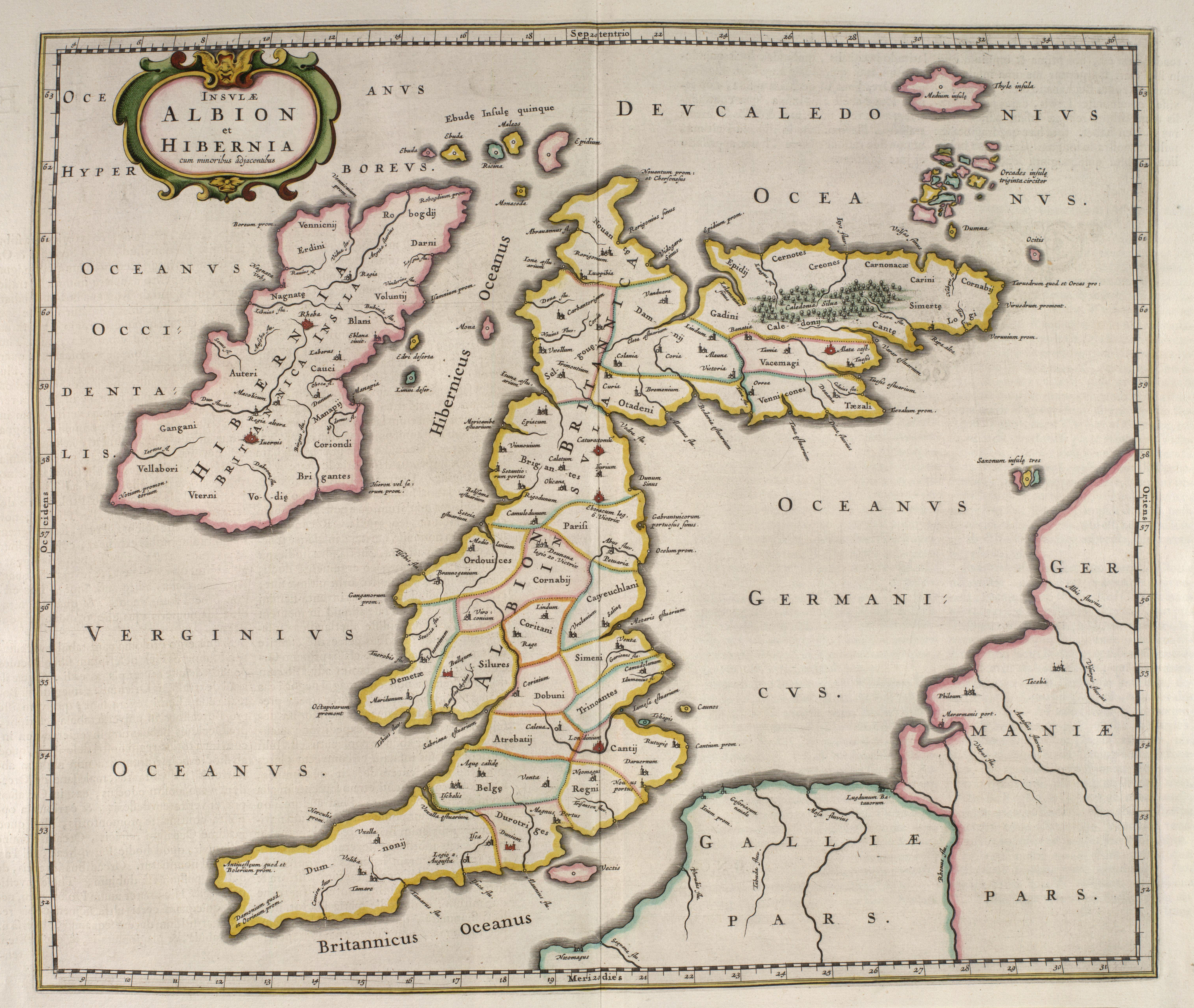
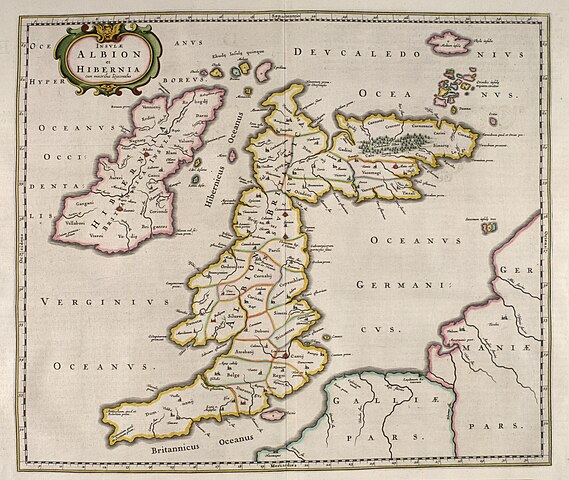
| 描述 | Ptolemy's 1st European Map: INSULAE ALBION ET HIBERNIA - Old Great Britain | |||
| 日期 | ||||
| 來源 |
|
|||
| 作者 | Blaeu | |||
| 授權許可 (重用此檔案) |
Public domain (70 years post mortem auctoris) |


|
本作品在其來源國以及其他版權期限是作者逝世後100年或以下的國家與地區屬於公有領域。 | |
| 此作品無已知的著作權限制,亦不受所有相關和鄰接的權利限制。 | |
檔案歷史
點選日期/時間以檢視該時間的檔案版本。
| 日期/時間 | 縮圖 | 尺寸 | 用戶 | 備註 | |
|---|---|---|---|---|---|
| 目前 | 2007年6月17日 (日) 13:47 | | 6,083 × 5,134(6.91 MB) | Simplicius(對話 | 貢獻) | {{Information |Description=INSULAE ALBION ET HIBERNIA - Old Great Britain |Source=[http://www.nls.uk/maps/early/blaeu/blaeu_maps_index.html National Library of Scotland] |Date=1654 |Author=Blaeu |Permission=Public domain (70 years post mortem auctoris |
無法覆蓋此檔案。
檔案用途
下列5個頁面有用到此檔案:
全域檔案使用狀況
以下其他 wiki 使用了這個檔案:
- de.wikipedia.org 的使用狀況
- en.wikipedia.org 的使用狀況
- es.wikipedia.org 的使用狀況
- fr.wikipedia.org 的使用狀況
- it.wikipedia.org 的使用狀況
- ja.wikibooks.org 的使用狀況
- pl.wikipedia.org 的使用狀況
- pt.wikipedia.org 的使用狀況
- sl.wikipedia.org 的使用狀況
- zh.wikipedia.org 的使用狀況