File:BlankMap-World-alt.png
Mine navigeerimisribale
Mine otsikasti
Selle eelvaate suurus: 800 × 413 pikslit. Teised eraldusvõimed: 320 × 165 pikslit | 640 × 331 pikslit | 1024 × 529 pikslit | 1500 × 775 pikslit.
Algfail (1500 × 775 pikslit, faili suurus: 65 KB, MIME tüüp: image/png)
Pealdised
Pealdised
Lisa üherealine seletus sellest, mida fail esitab

|
Vektorkujutis (SVG) sellest pildist on saadaval. It should be used in place of this raster image.
File:BlankMap-World-alt.png → File:BlankMap-World.svg
|
 |
Lühikirjeldus
[muuda]
| Kirjeldus |
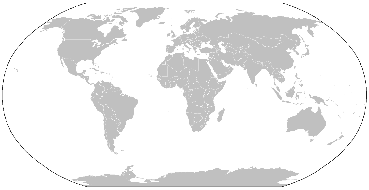
English: A map of the world as of 2005, with country outlines, for making country locator maps. Similar to Image:BlankMap-World.png with additions of the projection periphery and rendition of Antarctica, et al., this map uses the Robinson projection centered on the Greenwich Prime Meridian and includes various en:microstates/en:island nations. All territories indicated in the UN listing of territories and regions are exhibited. |
||
| Kuupäev | (original version) | ||
| Allikas |
See fail on tuletatud järgmisest teosest: BlankMap-World.png |
||
| Autor | The map was made by User:Vardion; adapted by User:E Pluribus Anthony and User:QuartierLatin1968 for Wikipedia. | ||
| Luba (Faili edasikasutus) |
|
||
| Teised versioonid | File:BlankMap-World-alt-blue.png |
| Annotations | This image is annotated: View the annotations at Commons |
Faili ajalugu
Klõpsa kuupäeva ja kellaaega, et näha sel ajahetkel kasutusel olnud failiversiooni.
| Kuupäev/kellaaeg | Pisipilt | Mõõtmed | Kasutaja | Kommentaar | |
|---|---|---|---|---|---|
| viimane | 14. juuli 2011, kell 07:37 | | 1500 × 775 (65 KB) | Hoshie (arutelu | kaastöö) | added S. Sudan - under same lic. |
| 7. märts 2009, kell 15:33 |  | 1500 × 775 (66 KB) | Cradel (arutelu | kaastöö) | Reverted to version as of 20:17, 25 February 2008 | |
| 20. november 2008, kell 01:04 |  | 1500 × 775 (17 KB) | Tocino (arutelu | kaastöö) | Reverted to version as of 20:05, 25 February 2008 | |
| 25. veebruar 2008, kell 20:17 |  | 1500 × 775 (66 KB) | Nightstallion (arutelu | kaastöö) | Reverted to version as of :, 0 <> | |
| 25. veebruar 2008, kell 20:05 |  | 1500 × 775 (17 KB) | Cp6 (arutelu | kaastöö) | Reverted to version as of :, 0 <> | |
| 25. veebruar 2008, kell 11:14 |  | 1500 × 775 (66 KB) | Nightstallion (arutelu | kaastöö) | Reverted to version as of :, 0 <> | |
| 24. veebruar 2008, kell 13:35 |  | 1500 × 775 (17 KB) | Cp6 (arutelu | kaastöö) | Reverted to version as of :, 0 <> | |
| 24. veebruar 2008, kell 12:42 |  | 1500 × 775 (66 KB) | Nightstallion (arutelu | kaastöö) | Reverted to version as of :, 0 <> | |
| 23. veebruar 2008, kell 22:27 |  | 1500 × 775 (17 KB) | Cp6 (arutelu | kaastöö) | No OVERWRITING, look disc | |
| 23. veebruar 2008, kell 10:55 |  | 1500 × 775 (66 KB) | Nightstallion (arutelu | kaastöö) | Reverted to version as of :, 0 <> |
Sa ei saa seda faili üle kirjutada.
Faili kasutus
Seda faili kasutavad järgmised 24 lehekülge:
- Atlas index
- Atlas index by countries in native languages
- Atlas of first-level administrative divisions
- Atlas of international organizations
- Atlas of languages
- Atlas of religions
- Atlas of the Oceans
- Atlas of the World/Geological
- Atlas of the World/People
- Atlas of the World/Physical and topographical
- Atlas of the World/Political
- Atlas of the World/Projections
- Atlas of the World/Time
- Atlas of the world
- Atlases on line
- Facsimile atlas
- Historical atlas
- Stielers Handatlas 1891
- User:Kanchelskis/Atlante
- Commons:WikiProject Atlas
- File:Wikimedia Servers.svg
- File:Wikimedia server.jpg
- Template:Atlas-intro
- Template:Clickable world map
Globaalne failikasutus
Järgmised muud vikid kasutavad seda faili:
- Faili kasutus vikis de.wikipedia.org
- Faili kasutus vikis fr.wikipedia.org
- Faili kasutus vikis pl.wikipedia.org