File:BlankMap-World 1959.svg
Jump to navigation
Jump to search

Size of this PNG preview of this SVG file: 800 × 406 pixels. Other resolutions: 320 × 162 pixels | 640 × 325 pixels | 1,024 × 520 pixels | 1,280 × 650 pixels | 2,560 × 1,299 pixels | 940 × 477 pixels.
Original file (SVG file, nominally 940 × 477 pixels, file size: 794 KB)
Captions
Captions
Add a one-line explanation of what this file represents
Summary[edit]
| Description |
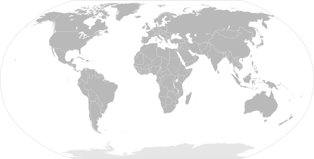
English: SVG Blank map of the world showing 1959 borders
Français : Carte muette du monde montrant les frontières de 1959, au format SVG. |
||
| Date | |||
| Source |
|
||
| Author | Sémhur | ||
| Other versions |
Derivative works of this file: | ||
| Attribution (required by the license) | © Sémhur / Wikimedia Commons / | ||
| SVG |
|
||
| Graphic Lab |

| Blank maps of the world for historical use | |
| pre-1800 | |
|
19th century | |
|
20th century | |
|
1902 · 1912 · 1914 · WWI · Aug 1918 · 1920 · 1921 · 1924 · 1926 · 1935 · 1937 · Mar 1938 · Oct 1938 · Mar 1939 · Oct 1939 · WWII · Nov 1942 · May 1945 · 1957 · 1959 · 1962 · 1968 · 1970 · 1985 · 1990 · 1993 | |
|
21st century | |
| (this template: · view · discuss ) | |
.PNG)
Licensing[edit]
I, the copyright holder of this work, hereby publish it under the following licenses:
| Copyleft: This work of art is free; you can redistribute it and/or modify it according to terms of the Free Art License. You will find a specimen of this license on the Copyleft Attitude site as well as on other sites. |
This file is licensed under the Creative Commons Attribution-Share Alike 4.0 International, 3.0 Unported, 2.5 Generic, 2.0 Generic and 1.0 Generic license.
- You are free:
- to share – to copy, distribute and transmit the work
- to remix – to adapt the work
- Under the following conditions:
- attribution – You must give appropriate credit, provide a link to the license, and indicate if changes were made. You may do so in any reasonable manner, but not in any way that suggests the licensor endorses you or your use.
- share alike – If you remix, transform, or build upon the material, you must distribute your contributions under the same or compatible license as the original.
You may select the license of your choice.
File history
Click on a date/time to view the file as it appeared at that time.
| Date/Time | Thumbnail | Dimensions | User | Comment | |
|---|---|---|---|---|---|
| current | 10:20, 2 June 2014 | | 940 × 477 (794 KB) | Sémhur (talk | contribs) | Valid SVG ; separate southern Ryukyu Island from Japan |
| 08:14, 25 May 2008 |  | 940 × 477 (793 KB) | Sémhur (talk | contribs) | Group Pakistan and East-Pakistan (not yet Bangladesh in 1959) | |
| 17:16, 14 April 2008 |  | 940 × 477 (793 KB) | Sémhur (talk | contribs) | the bitmap... one more time | |
| 17:10, 14 April 2008 |  | 940 × 477 (794 KB) | Sémhur (talk | contribs) | {{Information |Description= {{en|SVG Blank map of the world showing 1959 borders.}} {{fr|Carte muette du monde montrant les frontières de 1959, au format SVG.}} |Source= * Image:BlankMap-World6.svg by {{u|Canuckguy}}, under licence Public Domain * [ |
You cannot overwrite this file.
File usage on Commons
The following 3 pages use this file:
_as_of_August_7,_1958.svg)
File usage on other wikis
The following other wikis use this file:
- Usage on en.wikipedia.org
- Usage on fr.wikipedia.org
- Usage on ko.wikipedia.org
- Usage on nl.wikipedia.org