File:Brand mit Habitat-Baum 01.jpg
Jump to navigation
Jump to search

Size of this preview: 337 × 599 pixels. Other resolutions: 135 × 240 pixels | 270 × 480 pixels | 432 × 768 pixels | 576 × 1,024 pixels | 1,152 × 2,048 pixels | 2,968 × 5,274 pixels.
Original file (2,968 × 5,274 pixels, file size: 6.45 MB, MIME type: image/jpeg)
Captions
Captions
Add a one-line explanation of what this file represents
Summary[edit]
| Description |
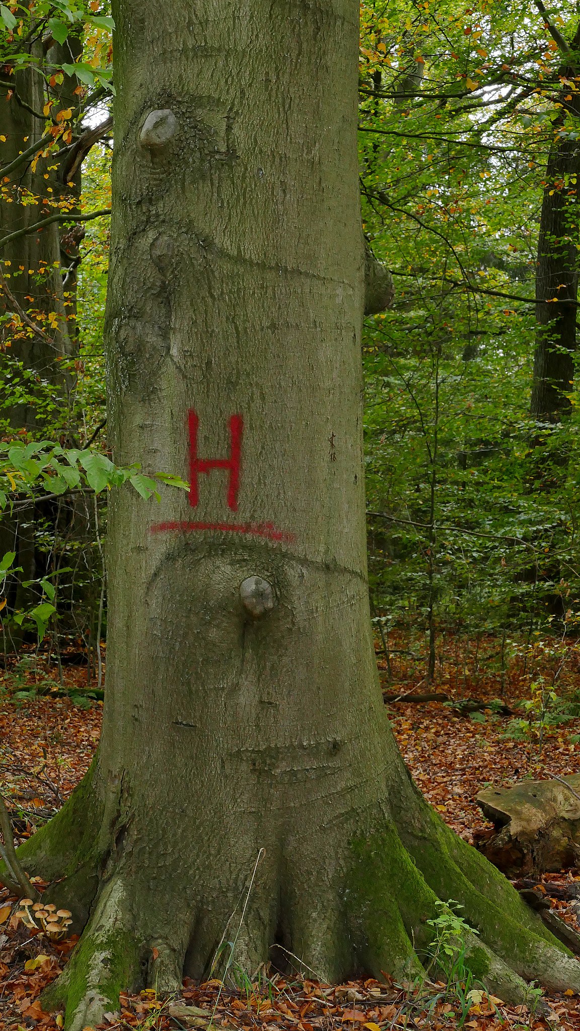
Deutsch: Der "Brand" ist ein Waldgebiet südlich von Celle, das als Naturschutzgebiet geschützt wird (NSG-HA105). Es liegt größtenteils im Landkreis Celle, zum Teil auch in der Region Hannover. Hier ist eine als Biotop- oder Habitatbaum geschützte Rotbuche zu sehen, die besondere Lebensräume für andere Lebewesen anbieten soll. |
| Date | |
| Source | Own work |
| Author | Puusterke |
| Camera location | | View this and other nearby images on: OpenStreetMap |
|---|
Licensing[edit]
I, the copyright holder of this work, hereby publish it under the following license:
This file is licensed under the Creative Commons Attribution-Share Alike 4.0 International license.
- You are free:
- to share – to copy, distribute and transmit the work
- to remix – to adapt the work
- Under the following conditions:
- attribution – You must give appropriate credit, provide a link to the license, and indicate if changes were made. You may do so in any reasonable manner, but not in any way that suggests the licensor endorses you or your use.
- share alike – If you remix, transform, or build upon the material, you must distribute your contributions under the same or compatible license as the original.
This image was uploaded as part of Wiki Loves Earth 2020.
|
 |
File history
Click on a date/time to view the file as it appeared at that time.
| Date/Time | Thumbnail | Dimensions | User | Comment | |
|---|---|---|---|---|---|
| current | 11:44, 9 June 2020 | | 2,968 × 5,274 (6.45 MB) | Puusterke (talk | contribs) | Uploaded own work with UploadWizard |
You cannot overwrite this file.
File usage on Commons
There are no pages that use this file.