File:Bridgend UK location map.svg
跳至導覽
跳至搜尋

此 SVG 檔案的 PNG 預覽的大小:603 × 600 像素。 其他解析度:241 × 240 像素 | 483 × 480 像素 | 772 × 768 像素 | 1,030 × 1,024 像素 | 2,059 × 2,048 像素 | 1,273 × 1,266 像素。
原始檔案 (SVG 檔案,表面大小:1,273 × 1,266 像素,檔案大小:541 KB)
說明
說明
添加單行說明來描述出檔案所代表的內容
| 描述 |
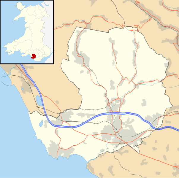
Blank map of Bridgend, UK with the following information shown:
Equirectangular map projection on WGS 84 datum, with N/S stretched 160% Geographic limits:
|
| 日期 | |
| 來源 |
|
| 作者 | Nilfanion, created using Ordnance Survey data |
| 授權許可 (重用此檔案) |
此檔案採用創用CC 姓名標示-相同方式分享 3.0 未在地化版本授權條款。 姓名標示: Contains Ordnance Survey data © Crown copyright and database right
|
| 其他版本 | File:Bridgend UK map.svg - Blank map |
檔案歷史
點選日期/時間以檢視該時間的檔案版本。
| 日期/時間 | 縮圖 | 尺寸 | 使用者 | 備註 | |
|---|---|---|---|---|---|
| 目前 | 2010年9月26日 (日) 19:28 | | 1,273 × 1,266(541 KB) | Nilfanion(留言 | 貢獻) | {{Information |Description=Blank map of Bridgend, UK with the following information shown: *Administrative borders *Coastline, lakes and rivers *Roads and railways *Urban areas Equirectangular map projection on WGS 84 datum, with N/S stret |
無法覆蓋此檔案。
檔案用途
下列頁面有用到此檔案:
全域檔案使用狀況
以下其他 wiki 使用了這個檔案:
- ar.wikipedia.org 的使用狀況
- ceb.wikipedia.org 的使用狀況
- cy.wikipedia.org 的使用狀況
- en.wikipedia.org 的使用狀況
- List of monastic houses in Wales
- Bridgend
- Porthcawl
- Maesteg
- Bridgend County Borough
- Pencoed
- Llangynwyd
- Tondu
- Brackla
- Nottage
- Heol-y-Cyw
- Pyle
- Aberkenfig
- Sarn Park services
- Pontycymer
- Blaengarw
- Coychurch
- Newton, Porthcawl
- Glanrhyd Hospital
- Maesteg Community Hospital
- Princess of Wales Hospital
- Sarn, Bridgend
- Ogmore Vale
- Bettws, Bridgend
- Nant-y-moel
- Cwmfelin
- RAF Stormy Down
- Brynmenyn
- Cefn Cribwr
- Module:Location map/data/Wales Bridgend/doc
- St John the Baptist Church, Porthcawl
- Seabank Hotel
- Kenfig Hill
- Ynysawdre
- Wyndham, Bridgend
- List of Sites of Special Scientific Interest in Bridgend County Borough
- User:Wop48/sandbox
- Coity Higher
- Coity
- Laleston
- St Bride's Minor
- Newcastle Higher
- Coychurch Higher
- Coychurch Lower
- Bridgend (community)
- Llangynwyd Lower
- Llangynwyd Middle
檢視此檔案的更多全域使用狀況。