File:Bryan Coast to Ellsworth Land.jpg
Jump to navigation
Jump to search

Size of this preview: 663 × 599 pixels. Other resolutions: 266 × 240 pixels | 531 × 480 pixels | 850 × 768 pixels | 1,133 × 1,024 pixels | 2,266 × 2,048 pixels | 4,096 × 3,702 pixels.
Original file (4,096 × 3,702 pixels, file size: 1.03 MB, MIME type: image/jpeg)
Captions
Captions
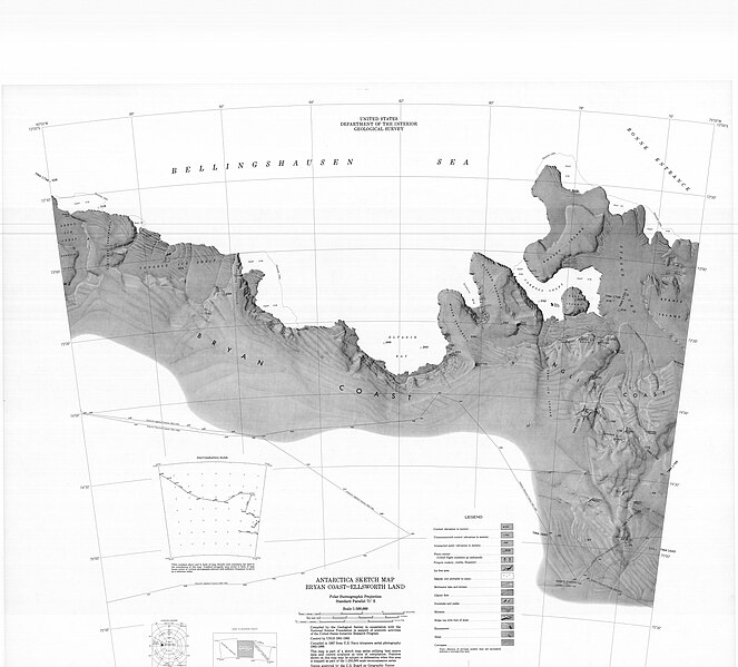
Bryan Coast to Ellsworth Land, Antarctica. Sketch map
Summary
[edit]
| Description |
English: Bryan Coast to Ellsworth Land, Antarctica. Sketch map |
| Date | |
| Source | https://maps.apps.pgc.umn.edu/id/108 |
| Author | USGS |
Licensing
[edit]
This work is in the public domain in the United States because it is a work prepared by an officer or employee of the United States Government as part of that person’s official duties under the terms of Title 17, Chapter 1, Section 105 of the US Code.
Note: This only applies to original works of the Federal Government and not to the work of any individual U.S. state, territory, commonwealth, county, municipality, or any other subdivision. This template also does not apply to postage stamp designs published by the United States Postal Service since 1978. (See § 313.6(C)(1) of Compendium of U.S. Copyright Office Practices). It also does not apply to certain US coins; see The US Mint Terms of Use.
|
 | |
| This file has been identified as being free of known restrictions under copyright law, including all related and neighboring rights. | ||
File history
Click on a date/time to view the file as it appeared at that time.
| Date/Time | Thumbnail | Dimensions | User | Comment | |
|---|---|---|---|---|---|
| current | 15:52, 21 April 2024 | | 4,096 × 3,702 (1.03 MB) | Aymatth2 (talk | contribs) | Uploaded a work by USGS from https://maps.apps.pgc.umn.edu/id/108 with UploadWizard |
You cannot overwrite this file.
File usage on Commons
There are no pages that use this file.
File usage on other wikis
The following other wikis use this file:
- Usage on en.wikipedia.org
- Usage on it.wikipedia.org
- Isola Smyley
- Isola Spaatz
- Piattaforma di ghiaccio Venable
- Piattaforma di ghiaccio Stange
- Ghiacciaio Goodell
- Penisola Fletcher
- Baia Eltanin
- Flusso di ghiaccio Ferrigno
- Baia di Fladerer
- Penisola Rydberg
- Penisola Allison
- Stretto di Stange
- Insenatura di Carroll (Antartide)
- Flusso di ghiaccio Alison
- Penisola Wirth
- Flusso di ghiaccio Berg
- Flusso di ghiaccio Lidke
- Ghiacciaio Thomson
- Flusso di ghiaccio Wiesnet
- Flusso di ghiaccio Williams
- Flusso di ghiaccio Fox