File:Canada (geolocalisation).svg
跳转到导航
跳转到搜索

此SVG文件的PNG预览的大小:706 × 599像素。 其他分辨率:283 × 240像素 | 566 × 480像素 | 905 × 768像素 | 1,207 × 1,024像素 | 2,413 × 2,048像素 | 1,084 × 920像素。
原始文件 (SVG文件,尺寸为1,084 × 920像素,文件大小:94 KB)
说明
说明
添加一行文字以描述该文件所表现的内容
| 描述 |
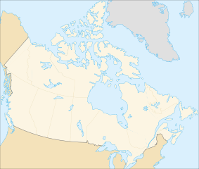
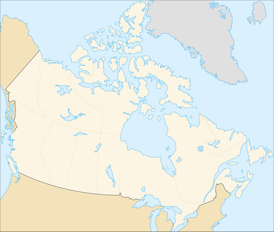
English: cropped version of Image:Carte administrative du Canada.svg for map location. (Lambert conformal conic projection from The Atlas of Canada) |
| 日期 | |
| 来源 | Image:Carte administrative du Canada.png. |
| 作者 | STyx |
| 授权 (二次使用本文件) |
This file is licensed under the Creative Commons Attribution-Share Alike Attribution-Share Alike 4.0 International, 3.0 Unported, 2.5 Generic, 2.0 Generic and 1.0 Generic license.
|
| 其他版本 |
Derivative works of this file: |
Locations
[编辑].svg&action=edit§ion=1)
Le cadrage est x=80px, y=166px, height=920, width=1084. Quelques positions :
| x | y | |
| pôle Nord | 475.5 | -159.5 |
| Alert | 565 | 9 |
| Vancouver | 77 | 678 |
| Montréal | 807 | 798 |
| Winnipeg | 442 | 753 |
| Iqaluit | 718 | 396 |
文件历史
点击某个日期/时间查看对应时刻的文件。
| 日期/时间 | 缩略图 | 大小 | 用户 | 备注 | |
|---|---|---|---|---|---|
| 当前 | 2007年2月7日 (三) 01:48 | | 1,084 × 920(94 KB) | STyx(留言 | 贡献) | retouche mineure |
| 2007年2月7日 (三) 01:41 |  | 1,084 × 920(94 KB) | STyx(留言 | 贡献) | {{Created with Inkscape}} {{Information |Description= *{{fr}} Version recadrée et épurée de Image:Carte administrative du Canada.svg pour la géolocation du Canada. Le cadrage est x=80px, y=166px, height=920, width=1084. Quelques positions : <cent |
您不可以覆盖此文件。
文件用途
以下13个页面使用本文件:
- Canada
- User:STyx/Project Mapmaking Wiki Standards
- Commons talk:Project Mapmaking Wiki Standards/Archive01
- File:706x599-Canada-(geolocalisation)-R1.jpg
- File:706x599-Canada-(geolocalisation)-R3.jpg
- File:706x599-Canada-(geolocalisation)-R4.jpg
- File:706x699-Canada-(geolocalisation)-R2.jpg
- File:Canada location map.svg
- File:Canada map (LT).png
- File:Canada provinces (LT).png
- File:Northern Tutchone Map.svg
- File:Southern Tutchone Map.svg
- File:Tutchone map.svg
-R1.jpg)
-R3.jpg)
-R4.jpg)
-R2.jpg)
.png)
.png)
全域文件用途
以下其他wiki使用此文件:
- de.wikipedia.org上的用途
- fr.wikipedia.org上的用途
.svg&oldid=847032199)