File:Canada Manitoba location map 2.svg
跳转到导航
跳转到搜索

此SVG文件的PNG预览的大小:486 × 599像素。 其他分辨率:195 × 240像素 | 389 × 480像素 | 623 × 768像素 | 831 × 1,024像素 | 1,661 × 2,048像素 | 1,512 × 1,864像素。
原始文件 (SVG文件,尺寸为1,512 × 1,864像素,文件大小:599 KB)
说明
说明
添加一行文字以描述该文件所表现的内容
摘要
[编辑]
| 描述 |
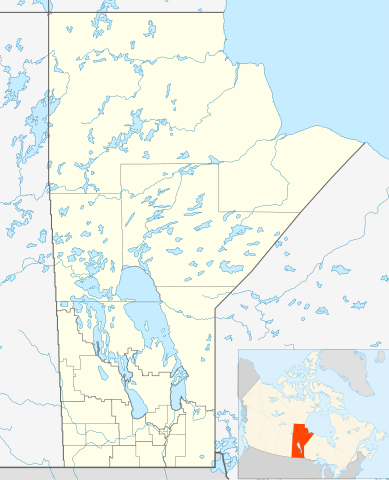
Quadratische Plattkarte, N-S-Streckung 170 %. Geographische Begrenzung der Karte:
Equirectangular projection, N/S stretching 170 %. Geographic limits of the map:
|
| 日期 | |
| 来源 | 自己的作品, File:Canada_Manitoba_location_map.svg by NordNordWest |
| 作者 | Hanhil 17:29, 24 September 2009 (UTC) |
| 授权 (二次使用本文件) |
我,本作品著作权人,特此采用以下许可协议发表本作品: 本文件采用知识共享署名-相同方式共享 3.0 未本地化版本许可协议授权。
|
| SVG开发 |
文件历史
点击某个日期/时间查看对应时刻的文件。
| 日期/时间 | 缩略图 | 大小 | 用户 | 备注 | |
|---|---|---|---|---|---|
| 当前 | 2019年2月3日 (日) 07:31 | | 1,512 × 1,864(599 KB) | JoKalliauer(留言 | 贡献) | valid id-names |
| 2009年9月24日 (四) 17:29 |  | 1,512 × 1,864(906 KB) | Hanhil(留言 | 贡献) | {{Information |Description= {{de|Positionskarte von Manitoba, Kanada}} Quadratische Plattkarte, N-S-Streckung 170 %. Geographische Begrenzung der Karte: * N: 60.3° N * S: 48.7° N * W: 104.0° W * O: 88.0° W {{en|Location |
您不可以覆盖此文件。
文件用途
没有页面使用本文件。
全域文件用途
以下其他wiki使用此文件:
- ar.wikipedia.org上的用途
- azb.wikipedia.org上的用途
- ba.wikipedia.org上的用途
- bg.wikipedia.org上的用途
- ca.wikipedia.org上的用途
- ceb.wikipedia.org上的用途
- en.wikipedia.org上的用途
- Gilbert Plains
- Neelin
- Cree
- The Pas
- Fort Garry
- Brandon, Manitoba
- Flin Flon
- Churchill, Manitoba
- Grunthal, Manitoba
- Lynn Lake
- International Peace Garden
- Birtle, Manitoba
- Portage la Prairie
- Dauphin, Manitoba
- Roblin, Manitoba
- Dominion City
- Manitou, Manitoba
- Forrest, Manitoba
- Thompson, Manitoba
- Steinbach, Manitoba
- Lower Fort Garry
- Deloraine, Manitoba
- Winnipegosis
- Sainte Rose du Lac
- Gunton, Manitoba
- Pisew Falls Provincial Park
- Hamiota, Manitoba
- CFB Shilo
- Winkler, Manitoba
- Boissevain, Manitoba
- Cranberry Portage
- Selkirk, Manitoba
- Morden, Manitoba
- Clearwater, Manitoba
- Souris, Manitoba
- Niverville, Manitoba
- Bakers Narrows
- Dugald, Manitoba
- Swan River, Manitoba
查看此文件的更多全域用途。