File:Canal Saint Martin vu de vers la Rotonde de la Villette.jpg
跳至導覽
跳至搜尋

預覽大小:800 × 533 像素。 其他解析度:320 × 213 像素 | 640 × 426 像素 | 1,024 × 682 像素 | 1,280 × 852 像素 | 2,560 × 1,704 像素 | 4,280 × 2,849 像素。
原始檔案 (4,280 × 2,849 像素,檔案大小:1.68 MB,MIME 類型:image/jpeg)
說明
說明
添加單行說明來描述出檔案所代表的內容
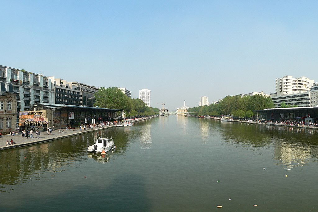
Bassin de la Villette, Paris, vu depuis la berge vers la Rotonde de la Villette
Copyright © 2007 David Monniaux
| 拍攝地點 | | 位於此地的本圖片與其他圖片: OpenStreetMap |
|---|
我,本作品的著作權持有者,決定用以下授權條款發佈本作品:

|
已授權您依據自由軟體基金會發行的無固定段落、封面文字和封底文字GNU自由文件授權條款1.2版或任意後續版本,對本檔進行複製、傳播和/或修改。該協議的副本列在GNU自由文件授權條款中。 |
| 此檔案採用創用CC 姓名標示-相同方式分享 3.0 未在地化版本授權條款。 | ||
| ||
| 已新增授權條款標題至此檔案,作為GFDL授權更新的一部份。 |
此檔案採用創用CC 姓名標示-相同方式分享 2.0 法國授權條款。
- 您可以自由:
- 分享 – 複製、發佈和傳播本作品
- 重新修改 – 創作演繹作品
- 惟需遵照下列條件:
- 姓名標示 – 您必須指名出正確的製作者,和提供授權條款的連結,以及表示是否有對內容上做出變更。您可以用任何合理的方式來行動,但不得以任何方式表明授權條款是對您許可或是由您所使用。
- 相同方式分享 – 如果您利用本素材進行再混合、轉換或創作,您必須基於如同原先的相同或兼容的條款,來分布您的貢獻成品。

您可以選擇您需要的授權條款。
| 註解 | 該圖片含有註解:在維基媒體共享資源上查看註解 |
檔案歷史
點選日期/時間以檢視該時間的檔案版本。
| 日期/時間 | 縮圖 | 尺寸 | 使用者 | 備註 | |
|---|---|---|---|---|---|
| 目前 | 2007年4月15日 (日) 20:44 | | 4,280 × 2,849(1.68 MB) | David.Monniaux(留言 | 貢獻) | Bassin de la Villette, Paris, vu depuis la berge vers la Rotonde de la Villette Copyright © 2007 David Monniaux <div style="clear:both"></div> {{self2|GFDL|cc-by-sa-2.0-fr}} [[Category:Photographs and images by David Mo |
無法覆蓋此檔案。
檔案用途
下列頁面有用到此檔案:
全域檔案使用狀況
以下其他 wiki 使用了這個檔案:
- cs.wikipedia.org 的使用狀況
- en.wikipedia.org 的使用狀況
- et.wikipedia.org 的使用狀況
- fi.wikipedia.org 的使用狀況
- fr.wikipedia.org 的使用狀況
- zh.wikipedia.org 的使用狀況