File:Carta esferica de las costas del Reyno de Chile... - Par mano del exmo Señor D. Juan de Langara ; Juan Moreno Tejada la grabó ; P.M.G. Gangoiti la escribió - btv1b531233188 (1 of 2).jpg
Jump to navigation
Jump to search

Size of this preview: 404 × 599 pixels. Other resolutions: 162 × 240 pixels | 324 × 480 pixels | 518 × 768 pixels | 690 × 1,024 pixels | 1,381 × 2,048 pixels | 7,408 × 10,986 pixels.
Original file (7,408 × 10,986 pixels, file size: 6.15 MB, MIME type: image/jpeg)
Captions
Captions
Add a one-line explanation of what this file represents
Summary
[edit]| Warning | The original file is very high-resolution. It might not load properly or could cause your browser to freeze when opened at full size. |
|---|
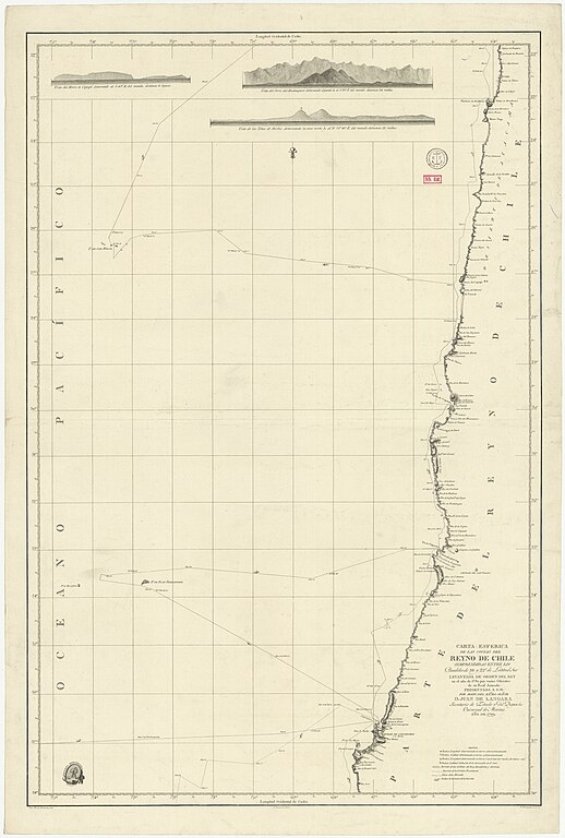
| Carta esferica de las costas del Reyno de Chile... / Par mano del exmo Señor D. Juan de Langara ; Juan Moreno Tejada la grabó ; P.M.G. Gangoiti la escribió
( |
|||||||||||||||||||||||||||
|---|---|---|---|---|---|---|---|---|---|---|---|---|---|---|---|---|---|---|---|---|---|---|---|---|---|---|---|
| Title |
Carta esferica de las costas del Reyno de Chile... / Par mano del exmo Señor D. Juan de Langara ; Juan Moreno Tejada la grabó ; P.M.G. Gangoiti la escribió |
||||||||||||||||||||||||||
| Description |
Français : Sujet : Cobija -- Environs -- Côtes
Concepción -- Environs -- Côtes Copiapó Bío-Bío, Région de Couverture : Chili Langue : espagnol Éditeur : Deposito hydrografico |
||||||||||||||||||||||||||
| Date | 1799 | ||||||||||||||||||||||||||
| Dimensions | height: 57.5 cm (22.6 in); width: 86.5 cm (34 in) | ||||||||||||||||||||||||||
| Collection |
|
||||||||||||||||||||||||||
| References |
Français : Notice d'ensemble : http://catalogue.bnf.fr/ark:/12148/cb44310788x
Notice de recueil : http://catalogue.bnf.fr/ark:/12148/cb44285272n Appartient à : [Division 2 du portefeuille 169 du Service hydrographique de la marine consacrée aux cartes générales et côtières du Chili] ; 4, 4/1, 4/2, 4/3 Notice du catalogue : http://catalogue.bnf.fr/ark:/12148/cb44310788x |
||||||||||||||||||||||||||
| Source/Photographer |
Français : Bibliothèque nationale de France, département Cartes et plans, GE SH 18 PF 169 DIV 2 P 4/3
Bibliothèque nationale de France (1/2) |
||||||||||||||||||||||||||
| Permission (Reusing this file) |
|
||||||||||||||||||||||||||

.jpg&action=edit§ion=1)
.jpg&flash=no)
File history
Click on a date/time to view the file as it appeared at that time.
| Date/Time | Thumbnail | Dimensions | User | Comment | |
|---|---|---|---|---|---|
| current | 04:43, 22 August 2022 | | 7,408 × 10,986 (6.15 MB) | Gzen92Bot (talk | contribs) | Gallica btv1b531233188 |
You cannot overwrite this file.
File usage on Commons
The following page uses this file:
.jpg)
.jpg&oldid=849165419)