File:Carte de la Republique de L'Amerique Centrale.jpg
Rozmiar pierwotny (2576 × 1690 pikseli, rozmiar pliku: 1,46 MB, typ MIME: image/jpeg)
Podpisy
Podpisy
| Data | 1844 | ||||
| Numer inwentarzowy |
British Library HMNTS 10480.e.21. |
||||
| Źródło/Fotograf |
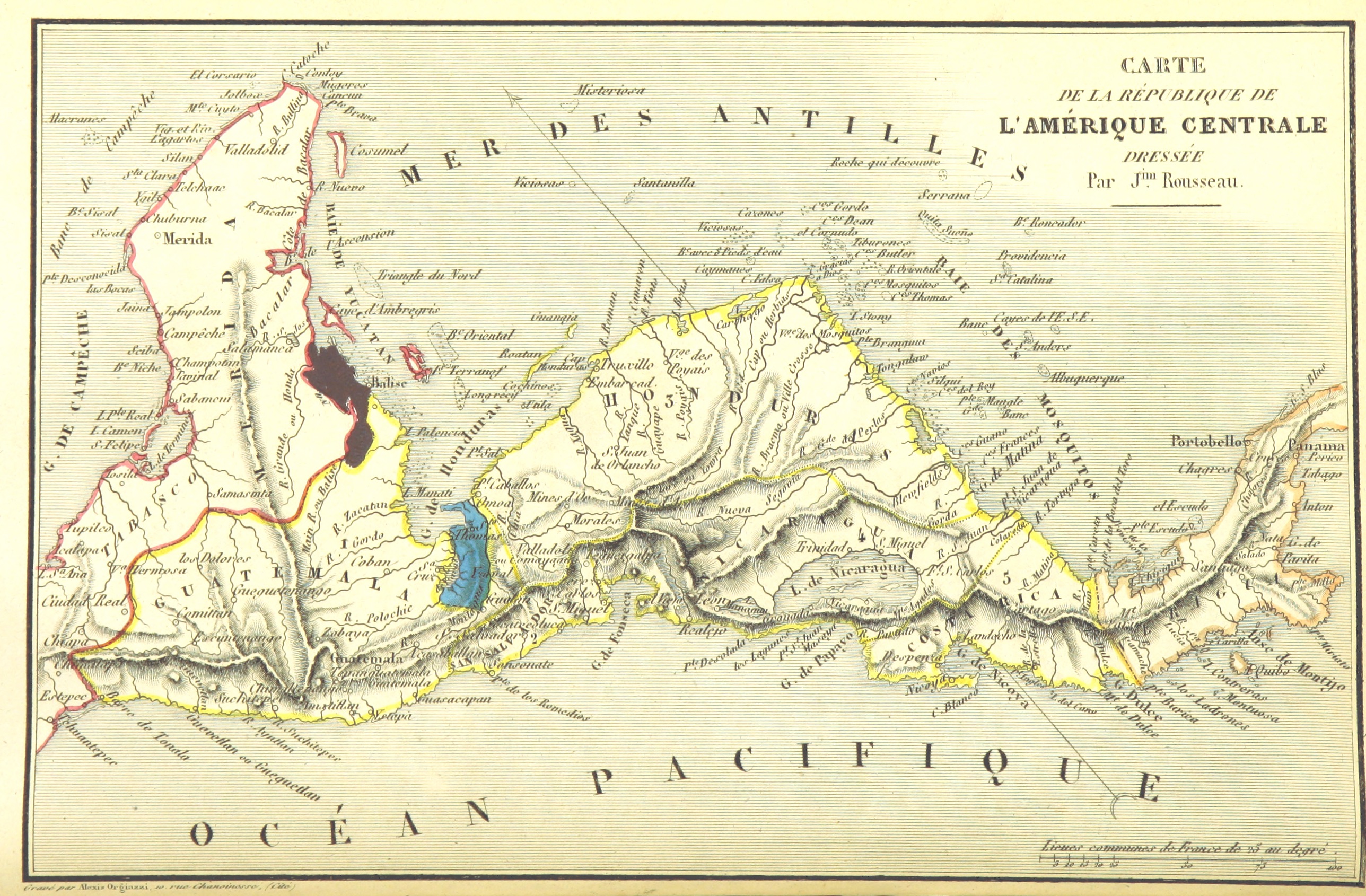
Image extracted from page 58 of Amérique centrale. Colonisation du district de Santo-Thomas de Guatemala par la Communauté de l'Union, fondée par la Compagnie Belge de Colonisation. Collection de renseignements publiés ou recueillis par la Compagnie …, by N.N.. Original held and digitised by the British Library. Copied from Flickr. Note: The colours, contrast and appearance of these illustrations are unlikely to be true to life. They are derived from scanned images that have been enhanced for machine interpretation and have been altered from their originals.
|
||||
| Licencja (Ponowne użycie tego pliku) |
|
||||

Historia pliku
Kliknij na odpowiedniej dacie/czasie, aby zobaczyć wersję pliku z tamtego okresu.
| Data/czas | Miniatura | Wymiary | Użytkownik | Opis | |
|---|---|---|---|---|---|
| aktualny | 19:41, 11 lut 2014 | | 2576 × 1690 (1,46 MB) | Metilsteiner (dyskusja | edycje) | User created page with UploadWizard |
Nie możesz nadpisać tego pliku.
Lokalne wykorzystanie pliku
Poniższa strona korzysta z tego pliku:
Globalne wykorzystanie pliku
Ten plik jest wykorzystywany także w innych projektach wiki:
- Wykorzystanie na af.wikipedia.org
- Wykorzystanie na de.wikipedia.org
- Wykorzystanie na es.wikipedia.org
- Wykorzystanie na lv.wikipedia.org
- Wykorzystanie na pl.wikipedia.org
- Wykorzystanie na ru.wikipedia.org
- Wykorzystanie na sh.wikipedia.org
- Maps from the Mechanical Curator collection
- Maps from the Mechanical Curator collection available to georeference
- Colonisation du district de Santo-Thomas de Guatemala (1844) by Compagnie Belge de Colonisation
- Maps of the history of colonies of Belgium
- 1840s maps of Costa Rica
- 1840s maps of Central America
- Maps of the Federal Republic of Central America