File:Carte topographique St Cyr Menthon.svg
Jump to navigation
Jump to search

Size of this PNG preview of this SVG file: 600 × 600 pixels. Other resolutions: 240 × 240 pixels | 480 × 480 pixels | 768 × 768 pixels | 1,024 × 1,024 pixels | 2,048 × 2,048 pixels | 640 × 640 pixels.
Original file (SVG file, nominally 640 × 640 pixels, file size: 205 KB)
Captions
Captions
Add a one-line explanation of what this file represents
Summary
[edit]
| Description |
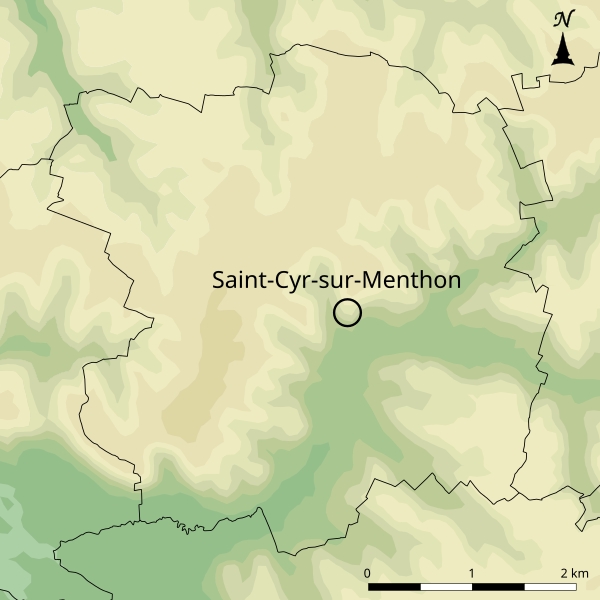
Français : Carte topographique de Saint-Cyr-sur-Menthon d'après la BD alti à 75m.
|
|
| Date | ||
| Source | Own work | |
| Author | Chabe01 |
Licensing
[edit]
I, the copyright holder of this work, hereby publish it under the following license:
This file is licensed under the Creative Commons Attribution-Share Alike 4.0 International license.
- You are free:
- to share – to copy, distribute and transmit the work
- to remix – to adapt the work
- Under the following conditions:
- attribution – You must give appropriate credit, provide a link to the license, and indicate if changes were made. You may do so in any reasonable manner, but not in any way that suggests the licensor endorses you or your use.
- share alike – If you remix, transform, or build upon the material, you must distribute your contributions under the same or compatible license as the original.
File history
Click on a date/time to view the file as it appeared at that time.
| Date/Time | Thumbnail | Dimensions | User | Comment | |
|---|---|---|---|---|---|
| current | 15:56, 4 May 2020 | | 640 × 640 (205 KB) | Chabe01 (talk | contribs) | Unité de la police dans les textes |
| 09:30, 4 May 2020 |  | 640 × 640 (205 KB) | A.BourgeoisP (talk | contribs) | Indication du Nord et du centre-bourg | |
| 01:00, 6 November 2018 |  | 640 × 640 (202 KB) | Chabe01 (talk | contribs) | User created page with UploadWizard |
You cannot overwrite this file.
File usage on Commons
There are no pages that use this file.
File usage on other wikis
The following other wikis use this file:
- Usage on fr.wikipedia.org