File:Cartouche in a Madrid map by Lopez.jpg
Jump to navigation
Jump to search
Size of this preview: 467 × 599 pixels. Other resolutions: 187 × 240 pixels | 374 × 480 pixels | 706 × 906 pixels.
Original file (706 × 906 pixels, file size: 279 KB, MIME type: image/jpeg)
Captions
Captions
Add a one-line explanation of what this file represents
| Description |
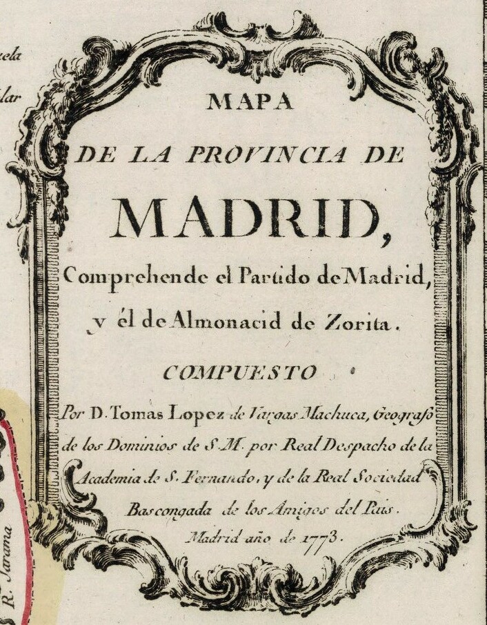
Español: Mapa de la provincia de Madrid (año 1773). |
||||||||||||||||||||||||||
| Date | |||||||||||||||||||||||||||
| Source |
Biblioteca Nacional de Portugal: http://purl.pt/785 Mapas de España - Material cartográfico Cota local: C.A. 14 R. |
||||||||||||||||||||||||||
| Author |
|
||||||||||||||||||||||||||
| Permission (Reusing this file) |
|
||||||||||||||||||||||||||
| Other versions | |||||||||||||||||||||||||||
| Institution |
|
||||||||||||||||||||||||||
_Mapa_de_la_provincia_de_Madrid.jpg)

File history
Click on a date/time to view the file as it appeared at that time.
| Date/Time | Thumbnail | Dimensions | User | Comment | |
|---|---|---|---|---|---|
| current | 19:22, 26 August 2023 | | 706 × 906 (279 KB) | Enyavar (talk | contribs) | File:Tomás López de Vargas Machuca (1773) Mapa de la provincia de Madrid.jpg cropped 81 % horizontally, 72 % vertically using CropTool with precise mode. |
You cannot overwrite this file.
File usage on Commons
The following page uses this file: