File:Cartouche in an Asia map by Lopez.jpg
Jump to navigation
Jump to search
Size of this preview: 689 × 600 pixels. Other resolutions: 276 × 240 pixels | 552 × 480 pixels | 883 × 768 pixels | 1,177 × 1,024 pixels | 1,725 × 1,501 pixels.
Original file (1,725 × 1,501 pixels, file size: 669 KB, MIME type: image/jpeg)
Captions
Captions
Add a one-line explanation of what this file represents
Summary
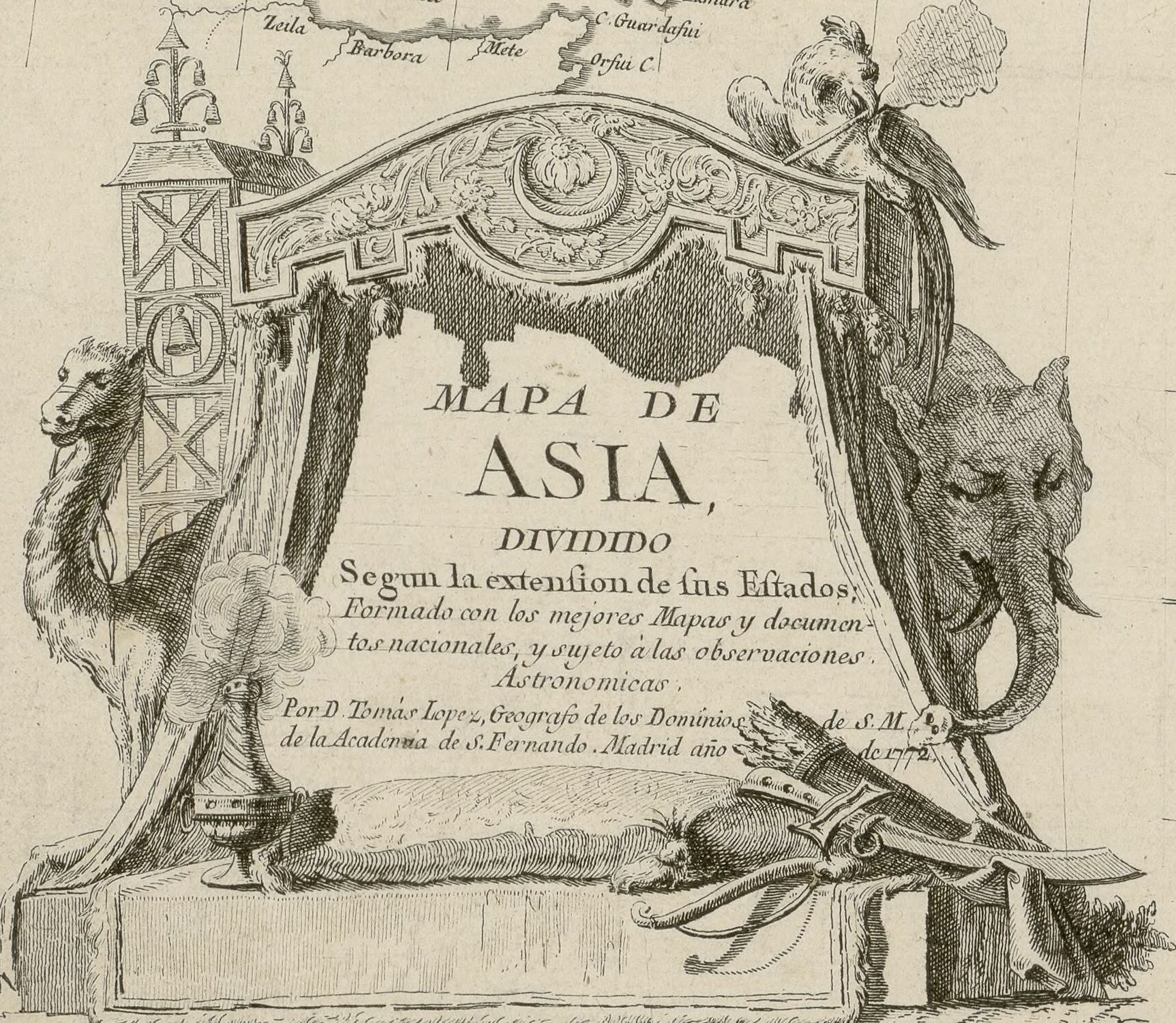
[edit]| Mapa de Asia dividido segun la extension de sus Estados, formado... / por D. Tomas Lopez, ...
( |
|||||||||||||||||||||||||||
|---|---|---|---|---|---|---|---|---|---|---|---|---|---|---|---|---|---|---|---|---|---|---|---|---|---|---|---|
| Author |
López, Tomás (1730-1802). Auteur du texte |
||||||||||||||||||||||||||
| Title |
Mapa de Asia dividido segun la extension de sus Estados, formado... / por D. Tomas Lopez, ... |
||||||||||||||||||||||||||
| Description |
Français : Sujet : Asie
Langue : espagnol Éditeur : [s.n.] (Madrid) |
||||||||||||||||||||||||||
| Date | 1772 | ||||||||||||||||||||||||||
| Dimensions | height: 49 cm (19.2 in); width: 61 cm (24 in) | ||||||||||||||||||||||||||
| Collection |
|
||||||||||||||||||||||||||
| References |
Français : Notice du catalogue : http://catalogue.bnf.fr/ark:/12148/cb40740287z |
||||||||||||||||||||||||||
| Source/Photographer |
Français : Bibliothèque nationale de France, département Cartes et plans, GE C-8045
Bibliothèque nationale de France |
||||||||||||||||||||||||||
| Permission (Reusing this file) |
|
||||||||||||||||||||||||||
| Other versions | |||||||||||||||||||||||||||


File history
Click on a date/time to view the file as it appeared at that time.
| Date/Time | Thumbnail | Dimensions | User | Comment | |
|---|---|---|---|---|---|
| current | 18:38, 26 August 2023 | | 1,725 × 1,501 (669 KB) | Enyavar (talk | contribs) | File:Mapa de Asia dividido segun la extension de sus Estados, formado... - por D. Tomas Lopez... - btv1b53088985d.jpg cropped 78 % horizontally, 76 % vertically using CropTool with precise mode. |
You cannot overwrite this file.
File usage on Commons
The following 2 pages use this file: