File:Ceredigion UK location map.svg
ナビゲーションに移動
検索に移動

この SVG ファイルのこの PNG プレビューのサイズ: 717 × 600 ピクセル. その他の解像度: 287 × 240 ピクセル | 574 × 480 ピクセル | 918 × 768 ピクセル | 1,224 × 1,024 ピクセル | 2,448 × 2,048 ピクセル | 1,425 × 1,192 ピクセル。
元のファイル (SVG ファイル、1,425 × 1,192 ピクセル、ファイルサイズ: 799キロバイト)
キャプション
キャプション
このファイルの内容を1行で記述してください
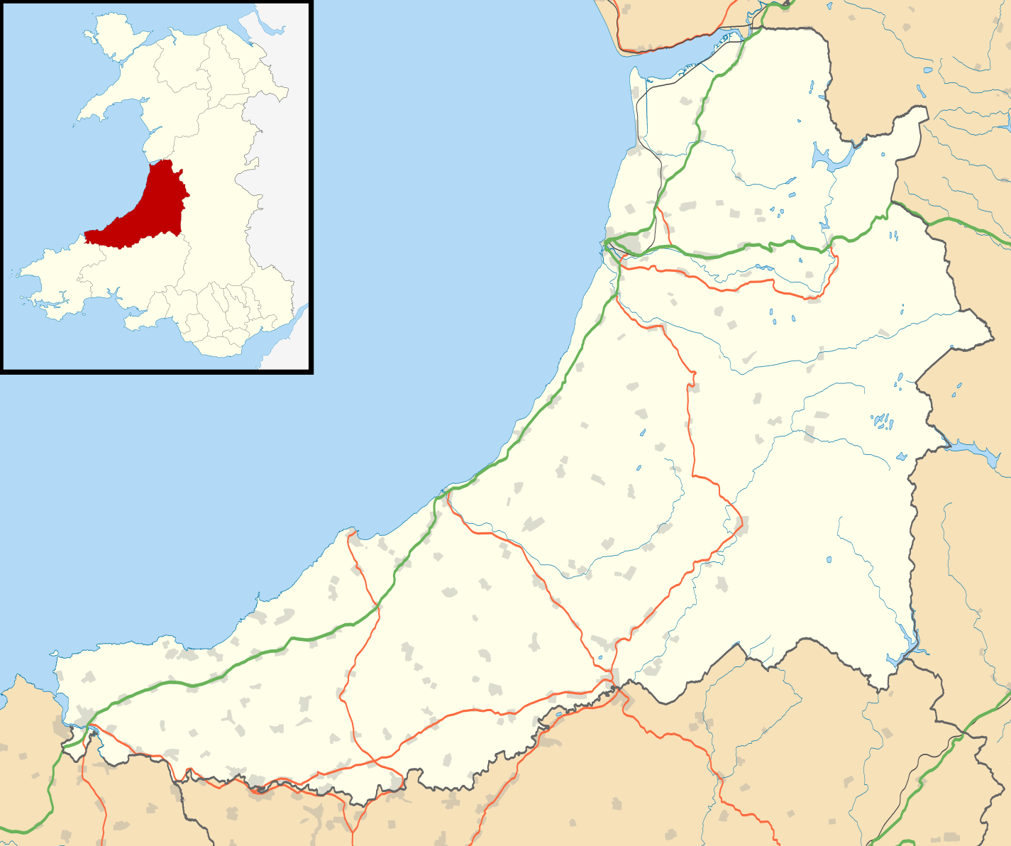
Map of Ceredigion
| 解説 |
Blank map of Ceredigion, UK with the following information shown:
Equirectangular map projection on WGS 84 datum, with N/S stretched 160% Geographic limits:
|
| 日付 | |
| 原典 |
|
| 作者 | Nilfanion, created using Ordnance Survey data |
| 許可 (ファイルの再利用) |
このファイルはクリエイティブ・コモンズ 表示-継承 3.0 非移植ライセンスのもとに利用を許諾されています。 帰属: Contains Ordnance Survey data © Crown copyright and database right
|
| その他のバージョン | File:Ceredigion UK map.svg - Blank map |
ファイルの履歴
過去の版のファイルを表示するには、その版の日時をクリックしてください。
| 日付と時刻 | サムネイル | 寸法 | 利用者 | コメント | |
|---|---|---|---|---|---|
| 現在の版 | 2010年9月26日 (日) 19:31 | | 1,425 × 1,192 (799キロバイト) | Nilfanion (トーク | 投稿記録) | {{Information |Description=Blank map of Ceredigion, UK with the following information shown: *Administrative borders *Coastline, lakes and rivers *Roads and railways *Urban areas Equirectangular map projection on WGS 84 datum, with N/S s |
このファイルは上書きできません。
ファイルの使用状況
以下のページがこのファイルを使用しています:
グローバルなファイル使用状況
以下に挙げる他のウィキがこの画像を使っています:
- ar.wikipedia.org での使用状況
- azb.wikipedia.org での使用状況
- ceb.wikipedia.org での使用状況
- cy.wikipedia.org での使用状況
- da.wikipedia.org での使用状況
- en.wikipedia.org での使用状況
- List of monastic houses in Wales
- Ceredigion
- Borth
- Aberaeron
- Cardigan, Ceredigion
- Lampeter
- New Quay
- Tregaron
- Pontrhydfendigaid
- Llangrannog
- Llangeitho
- Llanddewi Brefi
- Aberporth
- Mwnt
- Llangoedmor
- Penbryn
- Llandysul
- Llechryd
- Llanarth, Ceredigion
- Beulah, Ceredigion
- Talgarreg
- Penparcau
- Y Ferwig
- Penrhyn-coch
- Cribyn
- Llandygwydd
- Penuwch
- Gorsgoch
- Betws Ifan
- List of Sites of Special Scientific Interest in Ceredigion
- Ynyslas
- Ystrad Meurig
- Comins Coch
- Llanbadarn Fawr, Ceredigion
- Tregaron Hospital
- Cardigan and District Community Hospital
- Rhydowen
- Llanfair Clydogau
- Gwbert
- Aberystwyth Arts Centre
- Soar y mynydd
- Tal-y-bont, Ceredigion
- Alltyblacca
- Llandre
このファイルのグローバル使用状況を表示する。