File:Ceres Valley Panorama View.jpg
跳转到导航
跳转到搜索
本预览的尺寸:800 × 198像素。 其他分辨率:320 × 79像素 | 640 × 158像素 | 2,048 × 506像素。
原始文件 (2,048 × 506像素,文件大小:128 KB,MIME类型:image/jpeg)
说明
说明
添加一行文字以描述该文件所表现的内容
摘要[编辑]
| 相机位置 | | 在以下服务上查看本图像和附近其他图像: OpenStreetMap |
|---|
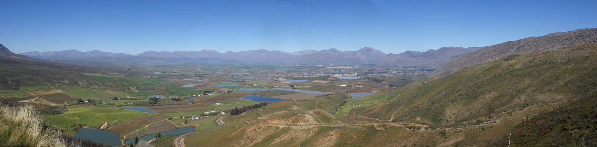
| 描述 | Took a ride today over Bain's Kloof Pass and Mitchell's Pass to Ceres, and then along a road I had not travelled before - over Gydo Pass and through some of the Cederberg Mountains to Citrusdal (some quite long gravel road stretches here). From Citrusdal I travelled over Piekenierkloof Pass (and finally photographed Thomas Bain's cottage that he built when building the mountain pass) and down the N7 back to Cape Town. | ||
| 日期 | |||
| 来源 | Ceres Valley Panorama View | ||
| 作者 | Danie van der Merwe from Cape Town, South Africa | ||
| 授权 (二次使用本文件) |
|
许可协议[编辑]
文件历史
点击某个日期/时间查看对应时刻的文件。
| 日期/时间 | 缩略图 | 大小 | 用户 | 备注 | |
|---|---|---|---|---|---|
| 当前 | 2007年10月10日 (三) 19:01 | 2,048 × 506(128 KB) | File Upload Bot (Magnus Manske)(留言 | 贡献) | {{Information |Description= Took a ride today over Bain's Kloof Pass and Mitchell's Pass to Ceres, and then along a road I had not travelled before - over Gydo Pass and through some of the Cederberg Mountains to Citrusdal (some quite long gravel road str |
您不可以覆盖此文件。
文件用途
没有页面使用本文件。
全域文件用途
以下其他wiki使用此文件:
- en.wikipedia.org上的用途
- fr.wikipedia.org上的用途
- zh.wikipedia.org上的用途