File:China Gansu adm location map.svg

原始文件 (SVG文件,尺寸为998 × 789像素,文件大小:275 KB)
说明
说明
摘要
[编辑]| 描述 |
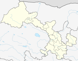
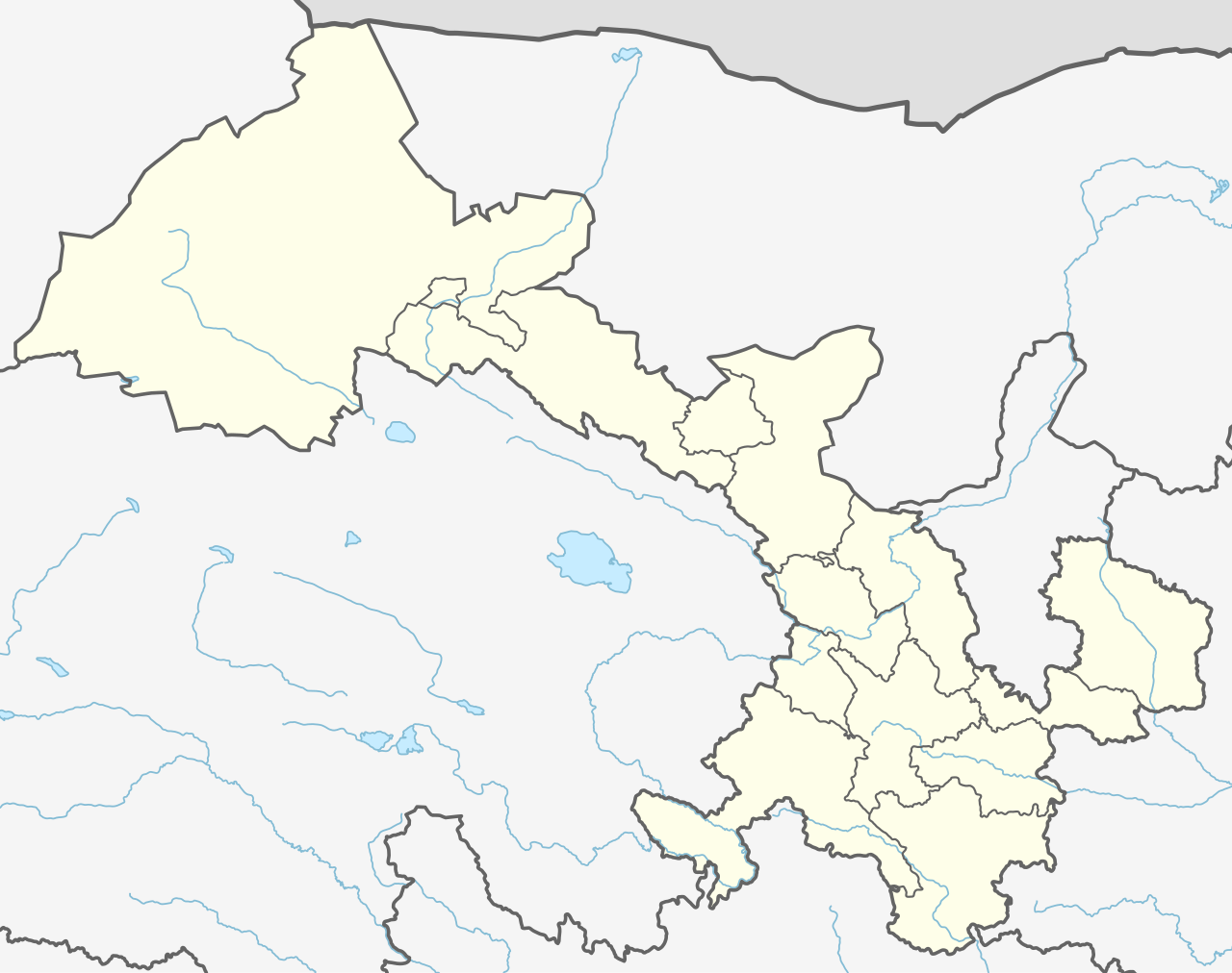
Deutsch: Positionskarte von Gansu, Volksrepublik China
English: Location map of the Gansu, People's Republic of China
|
||||||||||||
| 日期 | |||||||||||||
| 来源 |
个人作品,使用:
|
||||||||||||
| 作者 | NordNordWest | ||||||||||||
| 其他版本 |
|
||||||||||||


|
|
许可协议
[编辑]
Usage of this file with:

explanatory notes: Legally binding is only the full legalcode. For a free usage I recommend to respect the following licence conditions:
1. Provide my name as given above: NordNordWest,
2. a copy of, or the URI for, the applicable license: https://creativecommons.org/licenses/by-sa/3.0/de/legalcode,
3. the title of the work,
4. in the case of an adaptation, a credit identifying the use of the work in the adaptation.
This license and the rights granted hereunder will terminate automatically upon any breach by you of the terms of this license. Any of the above conditions can be waived if you get permission from the copyright holder. If you have questions or wish differing conditions, please contact me through nnwest or my discussion page ![]() t-online.de
t-online.de
- 您可以自由地:
- 共享 – 复制、发行并传播本作品
- 修改 – 改编作品
- 惟须遵守下列条件:
- 署名 – 您必须对作品进行署名,提供授权条款的链接,并说明是否对原始内容进行了更改。您可以用任何合理的方式来署名,但不得以任何方式表明许可人认可您或您的使用。
- 相同方式共享 – 如果您再混合、转换或者基于本作品进行创作,您必须以与原先许可协议相同或相兼容的许可协议分发您贡献的作品。

文件历史
点击某个日期/时间查看对应时刻的文件。
| 日期/时间 | 缩略图 | 大小 | 用户 | 备注 | |
|---|---|---|---|---|---|
| 当前 | 2019年12月12日 (四) 12:15 | | 998 × 789(275 KB) | NordNordWest(留言 | 贡献) | corr |
| 2019年12月11日 (三) 21:02 |  | 974 × 789(284 KB) | NordNordWest(留言 | 贡献) | == {{int:filedesc}} == {{Information |Description= {{de|1=Positionskarte von Gansu, Volksrepublik China}} {{en|1=Location map of the Gansu, People's Republic of China}} {{Location map series N |stretching=126 |top=43 |bottom=32.4 |left=92.5 |right=109 }} |Source={{Own using}} * United States National Imagery and Mapping Agency data * World Data Base II data |Date=2019-12-11 |Author={{U|NordNordWest}} |Permission= |other_versions= }} {{Kartenwerkstatt}} == {{int:license-header}} == {{User:Nor... |
您不可以覆盖此文件。
文件用途
以下3个页面使用本文件:
全域文件用途
以下其他wiki使用此文件:
- bn.wikipedia.org上的用途
- de.wikipedia.org上的用途
- en.wikipedia.org上的用途
- Lanzhou
- Jiuquan
- Tianshui
- Xiahe County
- Jiayuguan City
- Linxia City
- Yongjing County
- Hezuo
- Subei Mongol Autonomous County
- Bairi Tibetan Autonomous County
- Baiyin
- Dingxi
- Jinchang
- Wuwei, Gansu
- Dunhuang Mogao International Airport
- Jiayuguan Jiuquan Airport
- Lanzhou Zhongchuan International Airport
- Yongchang County
- Qingyang Airport
- Xifeng, Qingyang
- Longxi County
- Sunan Yugur Autonomous County
- Zhelaizhai
- Chongxin County
- Liangdang County
- Cheng County
- Linxia County
- Kangle County
- Guanghe County
- Hezheng County
- Dongxiang Autonomous County
- Jishishan Bonan, Dongxiang and Salar Autonomous County
- Hui County
- Zhangjiachuan Hui Autonomous County
- Qinzhou, Tianshui
- Jingtai County
- Huining County
- Jingyuan County, Gansu
- Yongdeng County
- Gaolan County
- Yuzhong County
- Gulang County
- Minqin County
查看此文件的更多全域用途。