File:China Qinghai location map.svg
跳至導覽
跳至搜尋

此 SVG 檔案的 PNG 預覽的大小:800 × 583 像素。 其他解析度:320 × 233 像素 | 640 × 466 像素 | 1,024 × 746 像素 | 1,280 × 932 像素 | 2,560 × 1,865 像素 | 1,351 × 984 像素。
原始檔案 (SVG 檔案,表面大小:1,351 × 984 像素,檔案大小:277 KB)
說明
說明
添加單行說明來描述出檔案所代表的內容
摘要
[編輯]| 描述 |
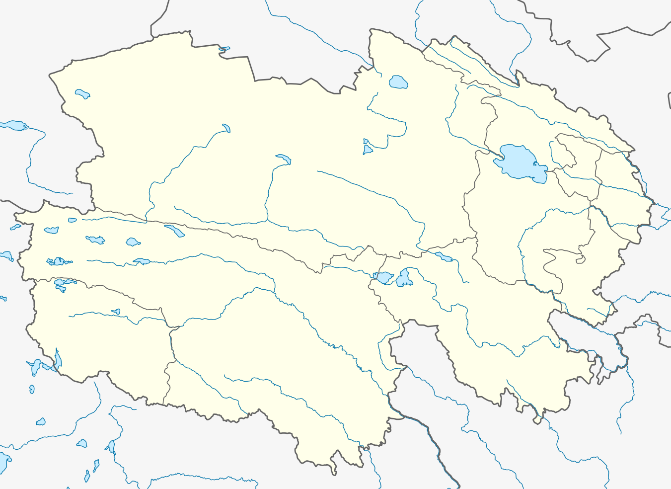
Quadratische Plattkarte, N-S-Streckung 124 %. Geographische Begrenzung der Karte:
Equirectangular projection, N/S stretching 124 %. Geographic limits of the map:
|
|
| 日期 | ||
| 來源 |
自己的作品, using
|
|
| 作者 | NordNordWest | |
| 授權許可 (重用此檔案) |
此檔案採用創用CC 姓名標示-相同方式分享 3.0 德國授權條款。
 此檔案採用創用CC 姓名標示-相同方式分享 3.0 未在地化版本授權條款。
|


|
|
檔案歷史
點選日期/時間以檢視該時間的檔案版本。
| 日期/時間 | 縮圖 | 尺寸 | 使用者 | 備註 | |
|---|---|---|---|---|---|
| 目前 | 2019年12月12日 (四) 12:14 | | 1,351 × 984(277 KB) | NordNordWest(留言 | 貢獻) | corr |
| 2011年1月6日 (四) 19:43 |  | 1,351 × 984(283 KB) | NordNordWest(留言 | 貢獻) | =={{int:filedesc}}== {{Information |Description= {{de|Positionskarte von Qinghai, Volksrepublik China}} Quadratische Plattkarte, N-S-Streckung 124 %. Geographische Begrenzung der Karte: * N: 39.7° N * S: 31.3° |
無法覆蓋此檔案。
檔案用途
下列2個頁面有用到此檔案:
全域檔案使用狀況
以下其他 wiki 使用了這個檔案:
- ar.wikipedia.org 的使用狀況
- ba.wikipedia.org 的使用狀況
- bg.wikipedia.org 的使用狀況
- ceb.wikipedia.org 的使用狀況
- cs.wikipedia.org 的使用狀況
- en.wikipedia.org 的使用狀況
- eo.wikipedia.org 的使用狀況
- es.wikipedia.org 的使用狀況
- fa.wikipedia.org 的使用狀況
檢視此檔案的更多全域使用狀況。