File:Chwarel Gallt Burley (Burley Hill Quarry) ger near Bryn Alyn a Llanferres, Sir Ddinbych, Cymru (Wales) 32.png
Jump to navigation
Jump to search
Size of this preview: 800 × 450 pixels. Other resolutions: 320 × 180 pixels | 640 × 360 pixels | 1,024 × 576 pixels | 1,280 × 720 pixels | 2,560 × 1,440 pixels | 3,840 × 2,160 pixels.
Original file (3,840 × 2,160 pixels, file size: 10.08 MB, MIME type: image/png)
Captions
Captions
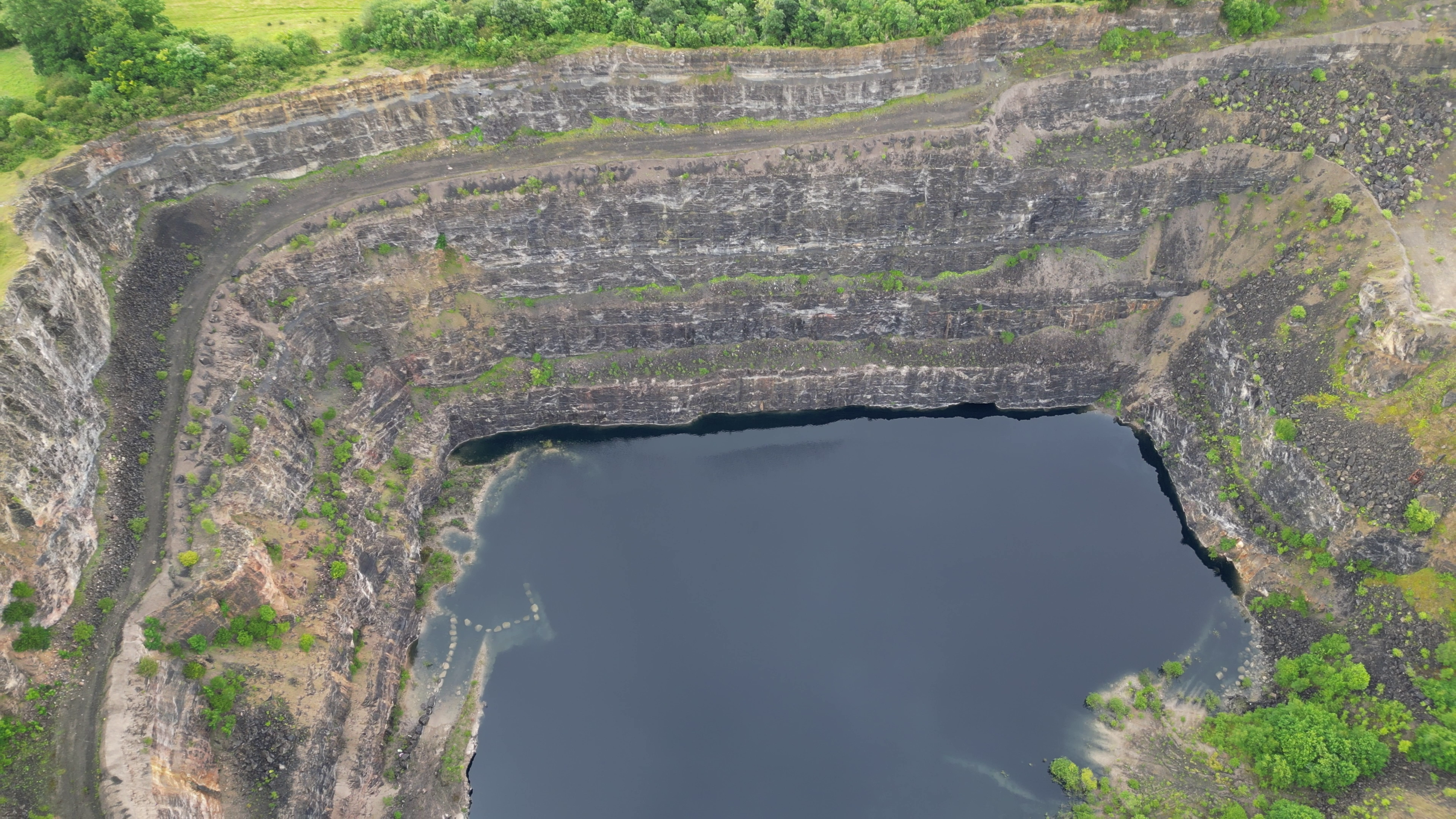
Burley Hill Quarry, Llanferres, Sir Ddinbych, Wales
Summary
[edit]_ger_near_Bryn_Alyn_a_Llanferres,_Sir_Ddinbych,_Cymru_(Wales)_32.png&action=edit§ion=1)
| Description |
Cymraeg: Chwarel Gallt Burley, Llanferres, Sir Ddinbych. Mae'r chwarel o fewn Safle o Ddiddordeb Gwyddonol Arbennig Bryniau Clwyd a Dyffryn y Ddyfrdwy.
English: Burley Hill Quarry, Llanferres, Sir Ddinbych, Wales. Within the Clwydian Range and Dee Valley Area of Outstanding Natural Beauty. |
| Date | |
| Source | Own work |
| Author | Llywelyn2000 |
| Camera location | | View this and other nearby images on: OpenStreetMap |
|---|
_ger_near_Bryn_Alyn_a_Llanferres,_Sir_Ddinbych,_Cymru_(Wales)_32.png¶ms=053.134594_N_-003.204340_E_globe:Earth_type:camera__&language=en)
Licensing
[edit]_ger_near_Bryn_Alyn_a_Llanferres,_Sir_Ddinbych,_Cymru_(Wales)_32.png&action=edit§ion=2)
I, the copyright holder of this work, hereby publish it under the following license:
This file is licensed under the Creative Commons Attribution-Share Alike 4.0 International license.
- You are free:
- to share – to copy, distribute and transmit the work
- to remix – to adapt the work
- Under the following conditions:
- attribution – You must give appropriate credit, provide a link to the license, and indicate if changes were made. You may do so in any reasonable manner, but not in any way that suggests the licensor endorses you or your use.
- share alike – If you remix, transform, or build upon the material, you must distribute your contributions under the same or compatible license as the original.
This image was uploaded as part of Wiki Loves Earth 2023.
|
 |
File history
Click on a date/time to view the file as it appeared at that time.
| Date/Time | Thumbnail | Dimensions | User | Comment | |
|---|---|---|---|---|---|
| current | 17:24, 15 July 2023 | | 3,840 × 2,160 (10.08 MB) | Llywelyn2000 (talk | contribs) | Uploaded own work with UploadWizard |
You cannot overwrite this file.
File usage on Commons
There are no pages that use this file.
_ger_near_Bryn_Alyn_a_Llanferres,_Sir_Ddinbych,_Cymru_(Wales)_32.png&oldid=860565031)