File:City of St. Louis LOC 2005625348.jpg
Jump to navigation
Jump to search

Size of this preview: 800 × 563 pixels. Other resolutions: 320 × 225 pixels | 640 × 451 pixels | 1,024 × 721 pixels | 1,280 × 901 pixels | 2,560 × 1,802 pixels | 8,177 × 5,756 pixels.
Original file (8,177 × 5,756 pixels, file size: 7.44 MB, MIME type: image/jpeg)
Captions
Captions
Add a one-line explanation of what this file represents
Summary
[edit]| Description |
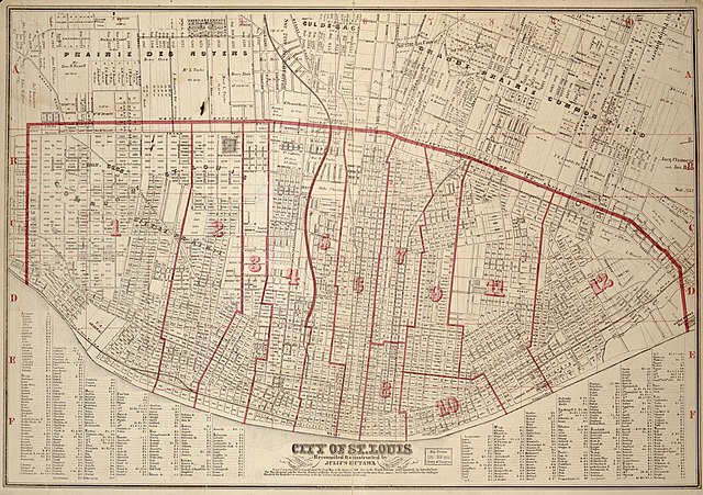
English: Shows city wards and selected landownership. Includes index. Available also through the Library of Congress Web site as a raster image. |
||
| Title | City of St. Louis | ||
| Shelf ID | G4164.S4 1870 .H8 | ||
| Date | |||
| Source | https://www.loc.gov/item/2005625348/ | ||
| Author | Hutawa, Julius | ||
| Permission (Reusing this file) |
|
||
| Other versions |
|
||
| Location | Saint Louis · United States · Missouri | ||
| Part of | County Landownership Maps · Cultural Landscapes · Cities And Towns · Catalog · American Memory · Geography And Map Division | ||
| Subject | United States · Saint Louis (Mo.) · Saint Louis · Maps · Missouri · Real Property · Landowners |


Licensing
[edit]
|
This is a faithful photographic reproduction of a two-dimensional, public domain work of art. The work of art itself is in the public domain for the following reason:
The official position taken by the Wikimedia Foundation is that "faithful reproductions of two-dimensional public domain works of art are public domain".
This photographic reproduction is therefore also considered to be in the public domain in the United States. In other jurisdictions, re-use of this content may be restricted; see Reuse of PD-Art photographs for details. | ||||
File history
Click on a date/time to view the file as it appeared at that time.
| Date/Time | Thumbnail | Dimensions | User | Comment | |
|---|---|---|---|---|---|
| current | 18:18, 22 May 2018 | | 8,177 × 5,756 (7.44 MB) | Fæ (talk | contribs) | LOC Maps https://www.loc.gov/item/2005625348/ #13393 |
You cannot overwrite this file.
File usage on Commons
The following page uses this file: