File:Colla Piana di Malaberga e Punta Straldi.png
Jump to navigation
Jump to search

Size of this preview: 800 × 573 pixels. Other resolutions: 320 × 229 pixels | 640 × 458 pixels | 1,024 × 733 pixels | 1,280 × 916 pixels | 2,560 × 1,832 pixels | 3,547 × 2,539 pixels.
Original file (3,547 × 2,539 pixels, file size: 14.71 MB, MIME type: image/png)
Captions
Captions
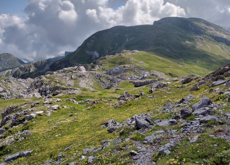
Colla Piana (Ligurian Alps, French/Italian border), in the background Punta Straldi
Summary
[edit]
| Description |
Italiano: parco naturale del Marguareis (Q1533952)
English: Colla Piana (Ligurian Alps, French/Italian border), in the background Punta Straldi
Français : La Colle Plane (Alpes Liguriennes), avec la Pointe Straldi |
| Date | |
| Source | Own work |
| Author | Pampuco |
| Camera location | | View this and other nearby images on: OpenStreetMap |
|---|
Licensing
[edit]
I, the copyright holder of this work, hereby publish it under the following license:
This file is licensed under the Creative Commons Attribution-Share Alike 4.0 International license.
- You are free:
- to share – to copy, distribute and transmit the work
- to remix – to adapt the work
- Under the following conditions:
- attribution – You must give appropriate credit, provide a link to the license, and indicate if changes were made. You may do so in any reasonable manner, but not in any way that suggests the licensor endorses you or your use.
- share alike – If you remix, transform, or build upon the material, you must distribute your contributions under the same or compatible license as the original.
This image was uploaded as part of Wiki Loves Earth 2022.
|
 |
File history
Click on a date/time to view the file as it appeared at that time.
| Date/Time | Thumbnail | Dimensions | User | Comment | |
|---|---|---|---|---|---|
| current | 17:27, 8 July 2022 | | 3,547 × 2,539 (14.71 MB) | Pampuco (talk | contribs) | Uploaded own work with UploadWizard |
You cannot overwrite this file.
File usage on Commons
The following page uses this file:
File usage on other wikis
The following other wikis use this file:
- Usage on ceb.wikipedia.org
- Usage on it.wikipedia.org
- Usage on www.wikidata.org