File:Construction of Verkkosaari in Kalasatama, Helsinki, Finland, 2020 October.jpg
Jump to navigation
Jump to search
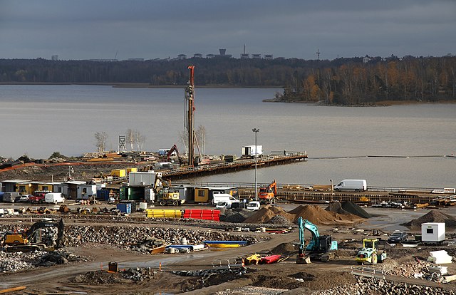
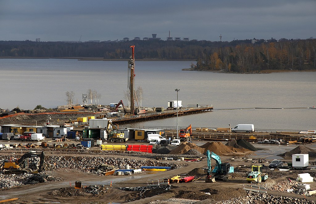
Size of this preview: 800 × 518 pixels. Other resolutions: 320 × 207 pixels | 640 × 414 pixels | 1,024 × 662 pixels | 1,280 × 828 pixels | 2,560 × 1,656 pixels | 4,724 × 3,056 pixels.
Original file (4,724 × 3,056 pixels, file size: 11.62 MB, MIME type: image/jpeg)
Captions
Captions
Add a one-line explanation of what this file represents
Summary[edit]
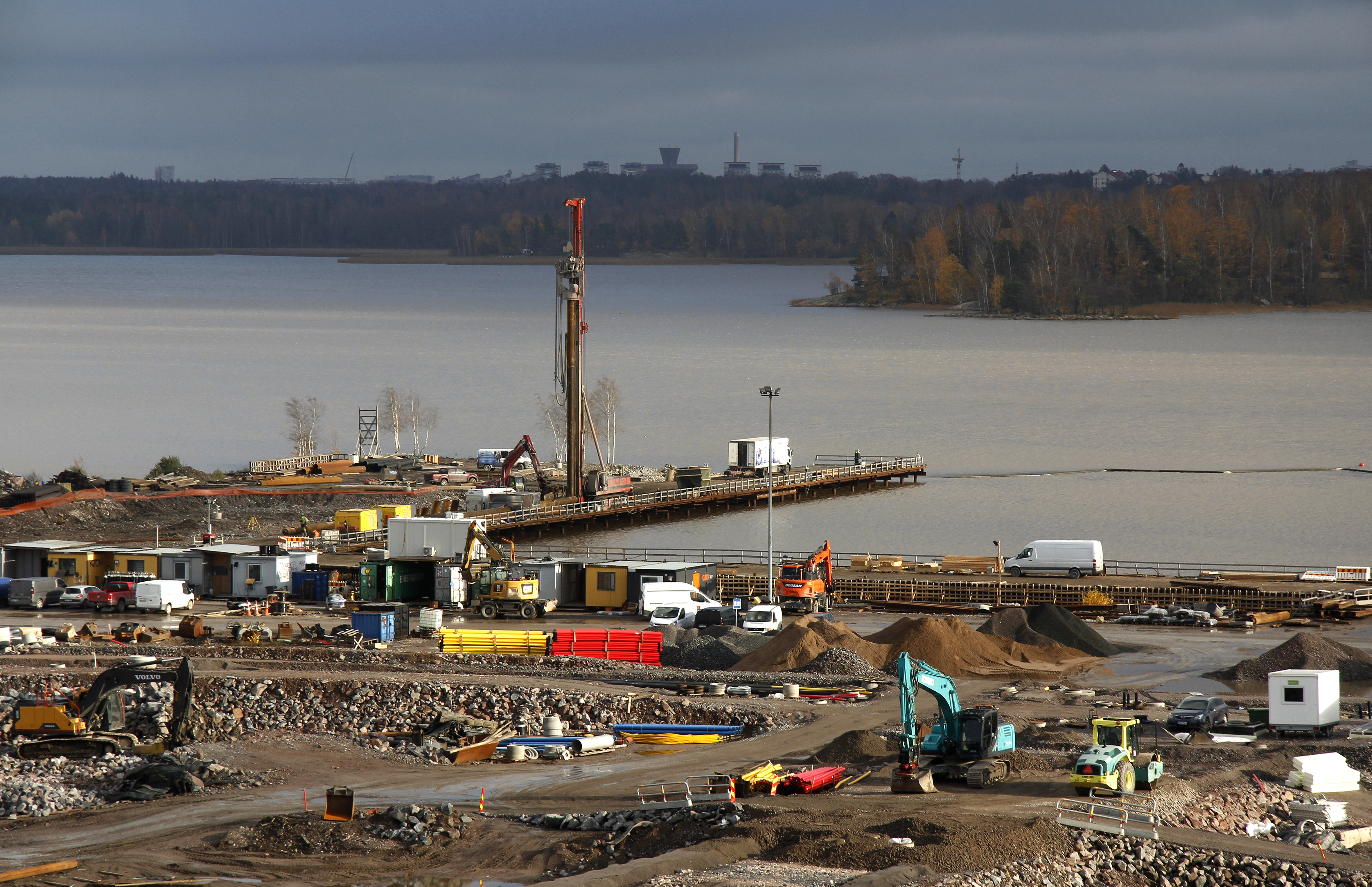
| Construction of Verkkosaari in Kalasatama, Helsinki, Finland, 2020 October
( |
||||||||||||||||||||||||
|---|---|---|---|---|---|---|---|---|---|---|---|---|---|---|---|---|---|---|---|---|---|---|---|---|
| Photographer |
Petri Sipilä |
|||||||||||||||||||||||
| Title |
Construction of Verkkosaari in Kalasatama, Helsinki, Finland, 2020 October |
|||||||||||||||||||||||
| Description |
Suomi: Verkkosaaren esirakentamista. Näkymä Verkkosaarenkadun ja Hermannin rantatien risteyksessä sijaitsevan Viehe-korttelin kattoterassilta Verkkosaarenrannan suuntaan. Taustalla Vanhankaupunginselän takana Länsi-Herttoniemeä ja oikealla Kivinokka. Verkkosaaren rakentaminen etenee alueen eteläosasta pohjoisosan suuntaan sekä asunto- että katurakentamisen osalta. |
|||||||||||||||||||||||
| Depicted place | Kalasatama (quarter) in Sörnäinen (district) in Helsinki | |||||||||||||||||||||||
| Date | 29 October 2020 | |||||||||||||||||||||||
| Collection |
|
|||||||||||||||||||||||
| Accession number |
G69841 |
|||||||||||||||||||||||
| Source | Finna: Verkkosaaren esirakentamista | |||||||||||||||||||||||
| Permission (Reusing this file) |
CC BY 4.0 | |||||||||||||||||||||||

Licensing[edit]
This file is licensed under the Creative Commons Attribution-Share Alike 4.0 International license.
- You are free:
- to share – to copy, distribute and transmit the work
- to remix – to adapt the work
- Under the following conditions:
- attribution – You must give appropriate credit, provide a link to the license, and indicate if changes were made. You may do so in any reasonable manner, but not in any way that suggests the licensor endorses you or your use.
- share alike – If you remix, transform, or build upon the material, you must distribute your contributions under the same or compatible license as the original.
This file is digitized and shared in Wikimedia Commons by the Helsinki City Museum. This tag does not indicate the copyright status of the attached work. A normal copyright tag is still required. See Commons:Licensing.
|
| Object location | | View this and other nearby images on: OpenStreetMap |
|---|
File history
Click on a date/time to view the file as it appeared at that time.
| Date/Time | Thumbnail | Dimensions | User | Comment | |
|---|---|---|---|---|---|
| current | 01:47, 6 November 2021 | | 4,724 × 3,056 (11.62 MB) | Coen (talk | contribs) | Uploaded a work by Petri Sipilä from https://finna.fi/Record/hkm.HKMS000005:km0000q2m4 with UploadWizard |
You cannot overwrite this file.
File usage on Commons
The following page uses this file: