File:Counties of Arkansas NA.png
Jump to navigation
Jump to search

Size of this preview: 775 × 599 pixels. Other resolutions: 310 × 240 pixels | 621 × 480 pixels | 993 × 768 pixels | 1,280 × 990 pixels | 1,594 × 1,233 pixels.
Original file (1,594 × 1,233 pixels, file size: 322 KB, MIME type: image/png)
Captions
Captions
Add a one-line explanation of what this file represents
Summary[edit]
| Description | |
| Date | |
| Source | |
| Author | National Atlas of the United States |
| Permission (Reusing this file) |
Public domain |
Licensing[edit]
This map was obtained from an edition of the National Atlas of the United States. Like almost all works of the U.S. federal government, works from the National Atlas are in the public domain in the United States.
Online access: NationalAtlas.gov | 1970 print edition: Library of Congress, Perry-Castañeda Library
|
File history
Click on a date/time to view the file as it appeared at that time.
| Date/Time | Thumbnail | Dimensions | User | Comment | |
|---|---|---|---|---|---|
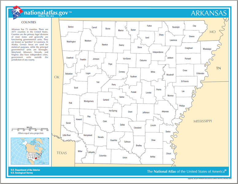
| current | 17:53, 3 May 2007 | | 1,594 × 1,233 (322 KB) | Huebi~commonswiki (talk | contribs) | {{Information| |Description=Counties of Arkansas |Source=[http://www.nationalatlas.gov National Atlas] }} Category:Maps of Arkansas {{PD-USGov-Atlas}} |
You cannot overwrite this file.
File usage
There are no pages that use this file.
Global file usage
The following other wikis use this file:
- Usage on sq.wikipedia.org