File:Coyote Ridge Map.JPG
Jump to navigation
Jump to search

Size of this preview: 502 × 599 pixels. Other resolutions: 201 × 240 pixels | 600 × 716 pixels.
Original file (600 × 716 pixels, file size: 47 KB, MIME type: image/jpeg)
Captions
Captions
Add a one-line explanation of what this file represents
Summary
[edit]
| Description |
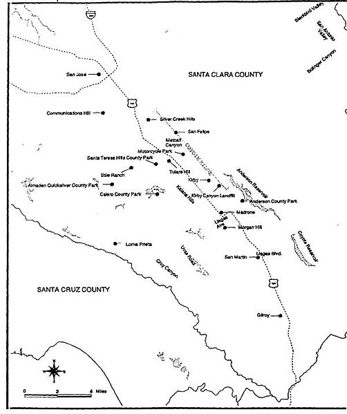
English: Coyote Ridge Map |
| Source | USFWS Recovery Plan, (PDF). |
| Author | U.S. Fish and Wildlife Service |
Licensing
[edit]
This image or recording is the work of a U.S. Fish and Wildlife Service employee, taken or made as part of that person's official duties. As a work of the U.S. federal government, the image is in the public domain. For more information, see the Fish and Wildlife Service copyright policy.
|
 |
Original upload log
[edit]
Transferred from en.wikipedia to Commons by Innotata using CommonsHelper.
The original description page was here. All following user names refer to en.wikipedia.
- 2006-10-18 07:32 IvoShandor 600×716× (47760 bytes) {{Fair use in|Bay checkerspot butterfly}} Source: [http://ecos.fws.gov/docs/recovery_plans/1998/980930c.pdf USFWS Recovery Plan], ([[PDF]]). Rationale:Fair use for educational purpose where no alternative is available at all. Illustration of subject is
File history
Click on a date/time to view the file as it appeared at that time.
| Date/Time | Thumbnail | Dimensions | User | Comment | |
|---|---|---|---|---|---|
| current | 00:10, 19 September 2012 | | 600 × 716 (47 KB) | File Upload Bot (Magnus Manske) (talk | contribs) | Transfered from en.wikipedia by User:innotata using CommonsHelper |
You cannot overwrite this file.
File usage on Commons
There are no pages that use this file.
File usage on other wikis
The following other wikis use this file:
- Usage on en.wikipedia.org