File:Cuba physical map2.svg
Jump to navigation
Jump to search

Size of this PNG preview of this SVG file: 800 × 340 pixels. Other resolutions: 320 × 136 pixels | 640 × 272 pixels | 1,024 × 435 pixels | 1,280 × 544 pixels | 2,560 × 1,088 pixels | 852 × 362 pixels.
Original file (SVG file, nominally 852 × 362 pixels, file size: 749 KB)
Captions
Captions
Add a one-line explanation of what this file represents
Summary[edit]
| Description |
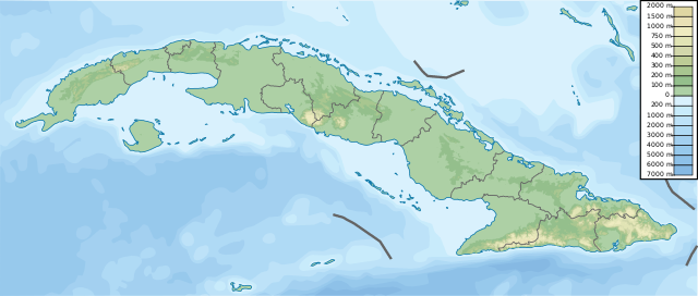
English: Stretched version of Cuba physical map.svg in order to be compatible with File:Cuba location map.svg |
| Date | |
| Source | Cuba physical map.svg |
| Author | User:Urutseg |
| SVG development |
Licensing[edit]
| This file is made available under the Creative Commons CC0 1.0 Universal Public Domain Dedication. | |
| The person who associated a work with this deed has dedicated the work to the public domain by waiving all of their rights to the work worldwide under copyright law, including all related and neighboring rights, to the extent allowed by law. You can copy, modify, distribute and perform the work, even for commercial purposes, all without asking permission.
|
File history
Click on a date/time to view the file as it appeared at that time.
| Date/Time | Thumbnail | Dimensions | User | Comment | |
|---|---|---|---|---|---|
| current | 08:46, 6 February 2018 | | 852 × 362 (749 KB) | Larske (talk | contribs) | User created page with UploadWizard |
You cannot overwrite this file.
File usage on Commons
There are no pages that use this file.
File usage on other wikis
The following other wikis use this file:
- Usage on sv.wikipedia.org
- Grisbukten
- Guantánamobasen
- Jardines de la Reina
- Ciego de Ávila
- Sierra Maestra
- Santiago de Cuba
- Santa Cruz del Norte
- Cayo Ernesto Thaelmann
- Santa Clara
- Trinidad, Kuba
- Matanzas (provins)
- Guantánamobukten
- Cienfuegos, Kuba
- Cárdenas, Kuba
- Gamla Havanna
- Zapatahalvön
- Mall:Kartposition Kuba
- Baracoa
- Quivicán
- Pinar del Río
- Holguín
- Las Tunas
- Municipio de Zulueta
- Zaza del Medio
- Presa Zaza
- Valle de Yumurí
- Río Yayabo
- Yateras
- Yara (ort)
- Municipio de Yaguajay
- Yaguajay
- Municipio de Viñales
- Viñales
- Provincia de Villa Clara
- Vertientes
- Venezuela (ort)
- Vedado
- Varadero, Kuba
- Kawama Airport
- Urbano Noris
- Municipio de Unión de Reyes
- Unión de Reyes
- Pico Turquino
- Topes de Collantes
- Río Tínima
- Taguasco
- Cayo Tabaco
- Surgidero de Batabanó
- Cayo Sotavento
- Soroa
View more global usage of this file.