File:DJI 0718-2.jpg
Jump to navigation
Jump to search
Size of this preview: 800 × 599 pixels. Other resolutions: 320 × 240 pixels | 640 × 479 pixels | 1,024 × 767 pixels | 1,280 × 959 pixels | 2,560 × 1,917 pixels | 4,048 × 3,032 pixels.
Original file (4,048 × 3,032 pixels, file size: 2.2 MB, MIME type: image/jpeg)
Captions
Captions
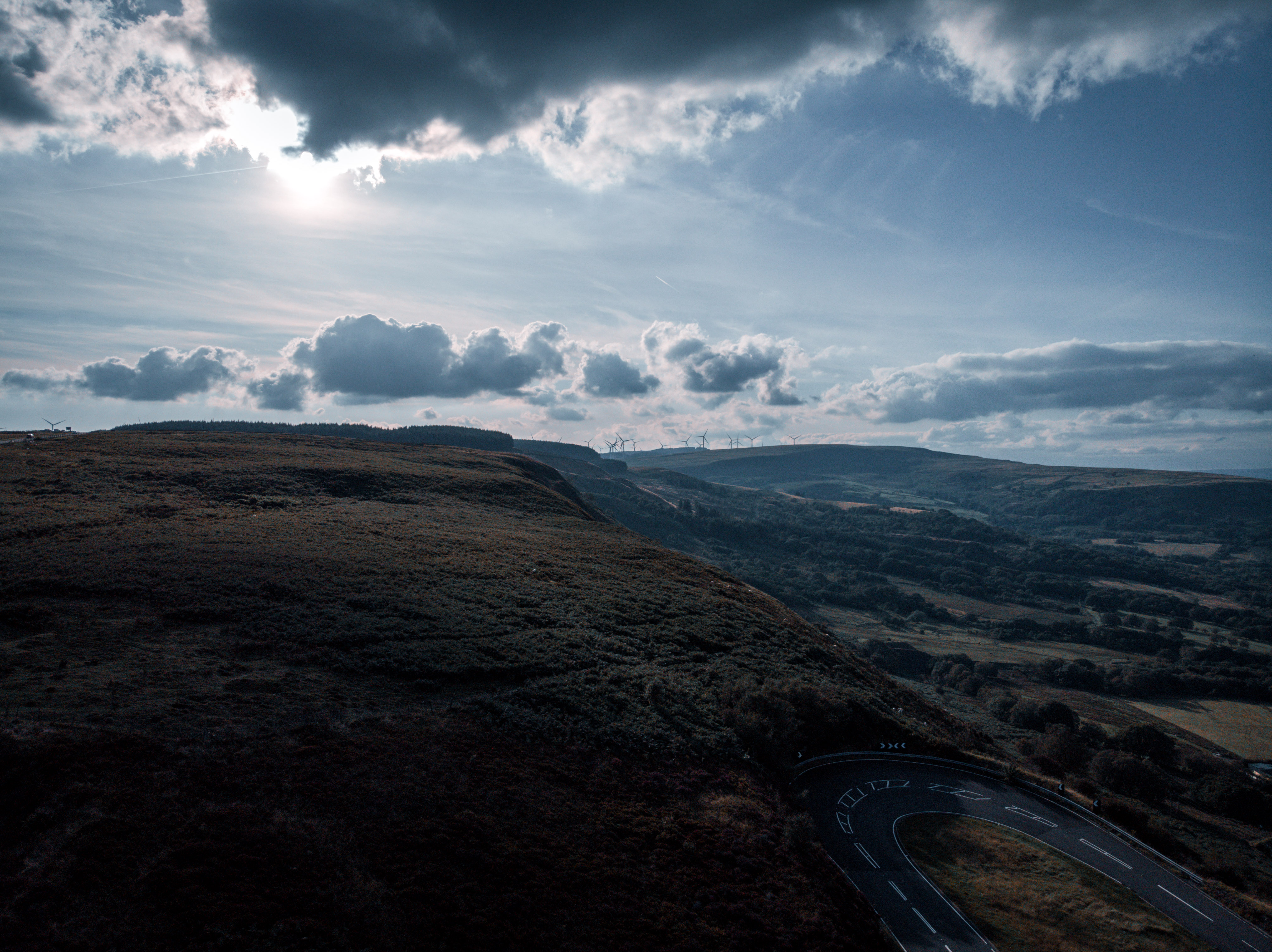
Maerdy Mountain Wales
Summary
[edit]
| Description |
English: View of Maerdy Mountain |
| Date | |
| Source | Own work |
| Author | Solasly |
| Camera location | | View this and other nearby images on: OpenStreetMap |
|---|
Licensing
[edit]
I, the copyright holder of this work, hereby publish it under the following license:
If you want to use this file commercially, you have to do this under the terms of the GFDL.
Otherwise, you are free to choose between the GFDL and CC-BY-NC-SA-2.0.

|
Permission is granted to copy, distribute and/or modify this document under the terms of the GNU Free Documentation License, Version 1.2 or any later version published by the Free Software Foundation; with no Invariant Sections, no Front-Cover Texts, and no Back-Cover Texts. A copy of the license is included in the section entitled GNU Free Documentation License. |
If this file is eligible for relicensing, it may also be used under the Creative Commons Attribution-ShareAlike 3.0 license. The relicensing status of this image has not yet been reviewed. You can help.
|
This file is published under the following Creative Commons license:
Attribution NonCommercial ShareAlike 2.0 |
This image was uploaded as part of Wiki Loves Earth 2022.
|
 |
File history
Click on a date/time to view the file as it appeared at that time.
| Date/Time | Thumbnail | Dimensions | User | Comment | |
|---|---|---|---|---|---|
| current | 12:54, 23 June 2022 | | 4,048 × 3,032 (2.2 MB) | Solasly (talk | contribs) | Uploaded own work with UploadWizard |
You cannot overwrite this file.
File usage on Commons
There are no pages that use this file.