File:DSCF0177Th-Körner2Stege.JPG
Jump to navigation
Jump to search

Size of this preview: 800 × 583 pixels. Other resolutions: 320 × 233 pixels | 640 × 467 pixels | 1,024 × 747 pixels | 1,280 × 933 pixels | 1,968 × 1,435 pixels.
Original file (1,968 × 1,435 pixels, file size: 1.29 MB, MIME type: image/jpeg)
Captions
Captions
Add a one-line explanation of what this file represents
Summary
[edit]
| Description |
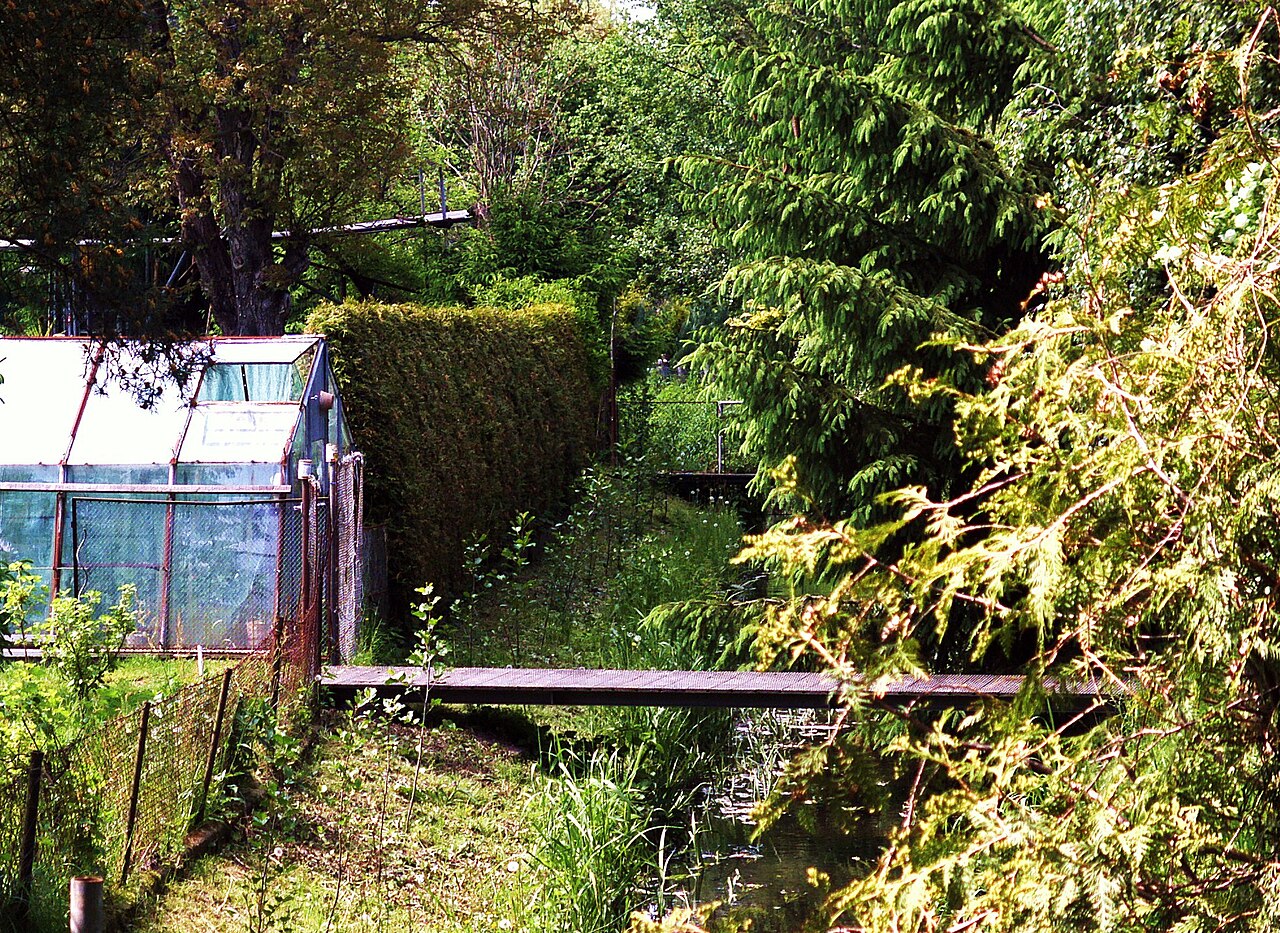
Deutsch: Die Panke trennt im urbanen Gebiet die Besiedlungsfläche. Nördlich der Theodor-Körner-Straße im Ortsteil Eichwerder von Bernau kreuzt die Panke in ihrem heutigen Lauf durch Grundstücke von Einfamilienhaäsern, sodass sich die Hauseigentümer mit einfachen Stegen die Ufer verbinden. |
| Date | |
| Source | Own work |
| Author | Boonekamp |
| Camera location | | View this and other nearby images on: OpenStreetMap |
|---|
Licensing
[edit]
| I, the copyright holder of this work, release this work into the public domain. This applies worldwide. In some countries this may not be legally possible; if so: I grant anyone the right to use this work for any purpose, without any conditions, unless such conditions are required by law. |
File history
Click on a date/time to view the file as it appeared at that time.
| Date/Time | Thumbnail | Dimensions | User | Comment | |
|---|---|---|---|---|---|
| current | 20:31, 29 May 2010 | | 1,968 × 1,435 (1.29 MB) | Boonekamp (talk | contribs) | {{Information |Description={{de|1=Die Panke trennt im urbanen Gebiet die Besiedlungsfläche. Nördlich der Theodor-Körner-Straße im Ortsteil Eichwerder von Bernau kreuzt die Panke in ihrem heutigen Lauf durch Grundstücke von Einfamilienhaäsern, sodass |
You cannot overwrite this file.
File usage on Commons
There are no pages that use this file.
File usage on other wikis
The following other wikis use this file:
- Usage on de.wikipedia.org