File:Dafins-Wiege-Rest-01ASD.jpg
Jump to navigation
Jump to search

Size of this preview: 800 × 532 pixels. Other resolutions: 320 × 213 pixels | 640 × 426 pixels | 1,024 × 681 pixels | 1,280 × 852 pixels | 2,560 × 1,704 pixels | 4,592 × 3,056 pixels.
Original file (4,592 × 3,056 pixels, file size: 7.59 MB, MIME type: image/jpeg)
Captions
Captions
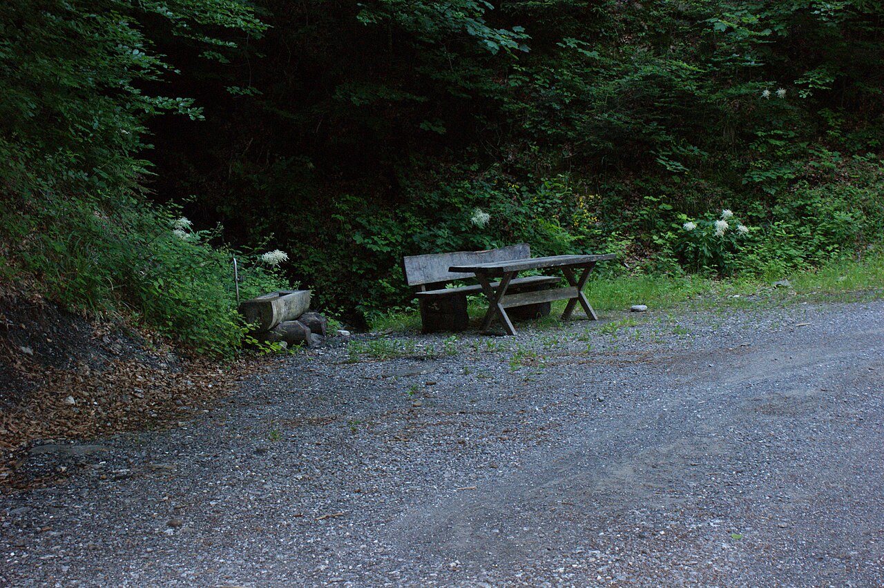
Rest area at the plot "Wiege" (Masellahut) at the end of the Masella path near the village of Dafins
Summary
[edit]
| Description |
Deutsch: Rastplatz bei der Parzelle Wiege (Masellahütte) am Ende des Masellawegs in der Nähe des Dorfes Dafins.
English: Rest area at the plot "Wiege" (Masellahut) at the end of the Masella path near the village of Dafins.
Français : Aire de repos sur le terrain "Wiege" (refuge Masella) au bout du chemin de Masella près du village de Dafins. |
| Date | |
| Source | Own work |
| Author | Asurnipal |
| Camera location | | View this and other nearby images on: OpenStreetMap |
|---|
Licensing
[edit]
I, the copyright holder of this work, hereby publish it under the following license:
This file is licensed under the Creative Commons Attribution-Share Alike 4.0 International license.
- You are free:
- to share – to copy, distribute and transmit the work
- to remix – to adapt the work
- Under the following conditions:
- attribution – You must give appropriate credit, provide a link to the license, and indicate if changes were made. You may do so in any reasonable manner, but not in any way that suggests the licensor endorses you or your use.
- share alike – If you remix, transform, or build upon the material, you must distribute your contributions under the same or compatible license as the original.
File history
Click on a date/time to view the file as it appeared at that time.
| Date/Time | Thumbnail | Dimensions | User | Comment | |
|---|---|---|---|---|---|
| current | 20:26, 19 June 2020 | | 4,592 × 3,056 (7.59 MB) | Asurnipal (talk | contribs) | Uploaded own work with UploadWizard |
You cannot overwrite this file.
File usage on Commons
The following page uses this file: