File:Dama dama map.png
Jump to navigation
Jump to search

Size of this preview: 800 × 370 pixels. Other resolutions: 320 × 148 pixels | 640 × 296 pixels | 1,357 × 628 pixels.
Original file (1,357 × 628 pixels, file size: 36 KB, MIME type: image/png)
Captions
Captions
Add a one-line explanation of what this file represents
Summary[edit]
| Description |
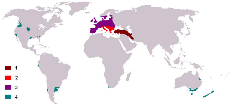
Dama dama distribution map - خريطة إنتشار الأيل الأسمر الأوروبي - מפה של תפוצת היחמור כיום בעולם
|
| Date | 20 May 2006 (original upload date) |
| Source | No machine-readable source provided. Own work assumed (based on copyright claims). |
| Author | No machine-readable author provided. MPF assumed (based on copyright claims). |
Licensing[edit]
| I, the copyright holder of this work, release this work into the public domain. This applies worldwide. In some countries this may not be legally possible; if so: I grant anyone the right to use this work for any purpose, without any conditions, unless such conditions are required by law. |
File history
Click on a date/time to view the file as it appeared at that time.
| Date/Time | Thumbnail | Dimensions | User | Comment | |
|---|---|---|---|---|---|
| current | 11:33, 20 May 2006 | | 1,357 × 628 (36 KB) | MPF (talk | contribs) | ''Dama dama'' distribution map |
You cannot overwrite this file.
File usage
The following 3 pages use this file:
Global file usage
The following other wikis use this file:
- Usage on af.wikipedia.org
- Usage on an.wikipedia.org
- Usage on ar.wikipedia.org
- Usage on arz.wikipedia.org
- Usage on ast.wikipedia.org
- Usage on be-tarask.wikipedia.org
- Usage on bg.wikipedia.org
- Usage on ca.wikipedia.org
- Usage on ceb.wikipedia.org
- Usage on de.wikipedia.org
- Usage on el.wikipedia.org
- Usage on en.wikipedia.org
- Usage on eo.wikipedia.org
- Usage on es.wikipedia.org
- Usage on et.wikipedia.org
- Usage on eu.wikipedia.org
- Usage on fa.wikipedia.org
- Usage on fi.wikipedia.org
- Usage on fr.wikipedia.org
- Daim
- Liste des mammifères en France métropolitaine
- Liste des mammifères en Belgique
- Liste des mammifères en Espagne
- Liste des mammifères en Suisse
- Liste des mammifères au Luxembourg
- Liste des mammifères au Portugal continental
- Liste des mammifères en Italie
- Liste des mammifères en Allemagne
- Liste des mammifères au Royaume-Uni
- Liste des mammifères aux Pays-Bas européens
- Liste des mammifères en Roumanie
- Liste des mammifères en Norvège
- Liste des mammifères en Grèce
- Liste des mammifères en Autriche
- Liste des mammifères en Pologne
- Liste des mammifères en Andorre
- Liste des mammifères au Danemark
- Liste des mammifères en Irlande
- Liste des mammifères en Suède
- Liste des mammifères en Tchéquie
View more global usage of this file.