File:Dawson Hill, Morley - east end (geograph 7153606).jpg
跳至導覽
跳至搜尋
預覽大小:799 × 600 像素。 其他解析度:320 × 240 像素 | 640 × 480 像素 | 1,023 × 768 像素 | 1,280 × 961 像素 | 1,600 × 1,201 像素。
原始檔案 (1,600 × 1,201 像素,檔案大小:545 KB,MIME 類型:image/jpeg)
說明
說明
添加單行說明來描述出檔案所代表的內容
摘要
[編輯].jpg&action=edit§ion=1)
| 描述 |
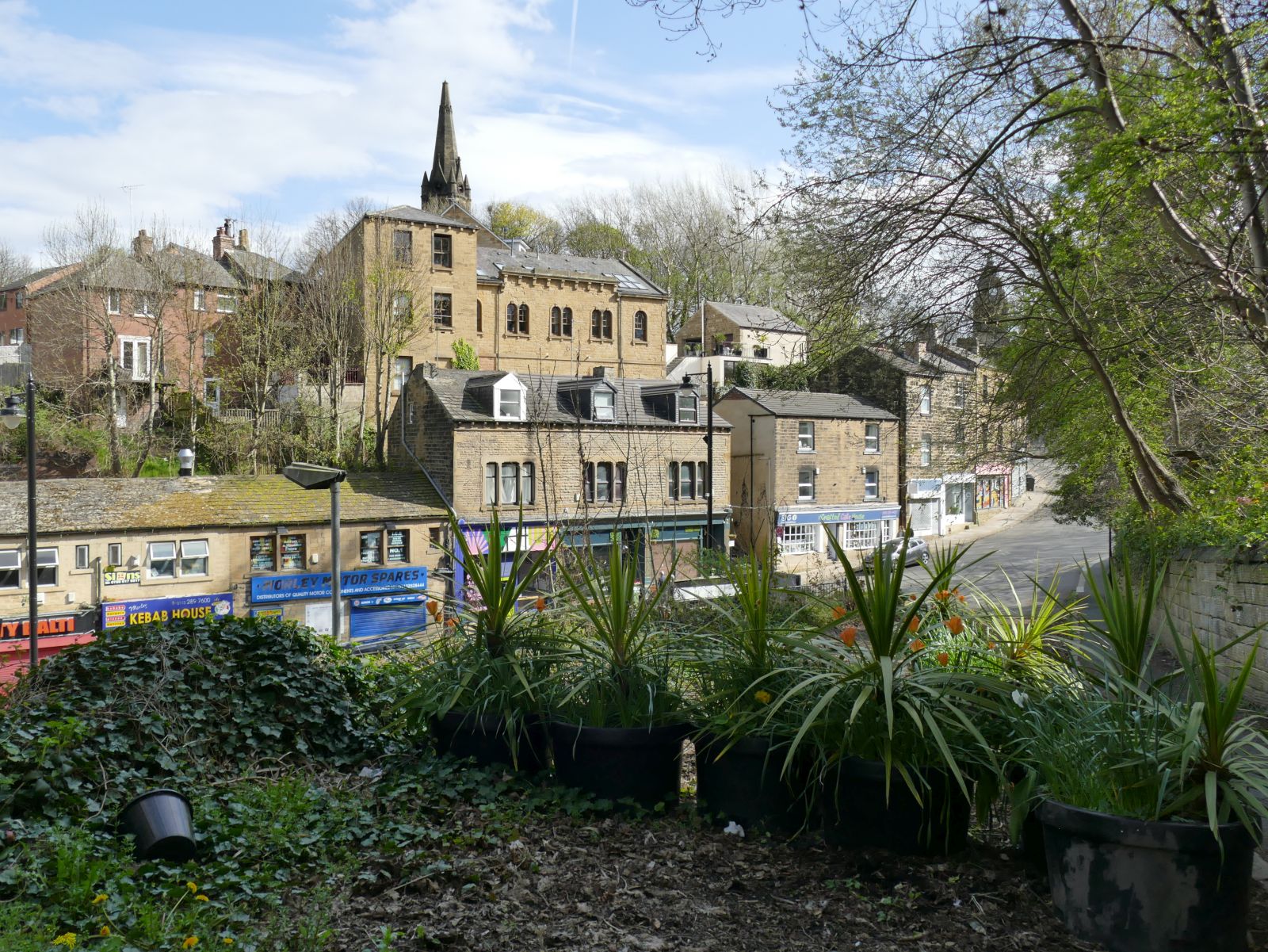
English: If this minor road was surfaced in the past, it is no longer, save for the pavement. The planters are presumably to prevent moor vehicles from using it. |
| 日期 | |
| 來源 | From geograph.org.uk |
| 作者 | Stephen Craven |
| 授權許可 (重用此檔案) |
Creative Commons Attribution Share-alike license 2.0 |
| 姓名標示 (由许可协议要求) | Stephen Craven / Dawson Hill, Morley - east end / |
| 拍攝地點 | | 位於此地的本圖片與其他圖片: OpenStreetMap |
|---|
.jpg¶ms=053.748704_N_-001.602968_E_globe:Earth_type:camera_source:geograph-osgb36(SE26282811)_heading:157.00&language=zh-hant)
| 目標地點 | | 位於此地的本圖片與其他圖片: OpenStreetMap |
|---|
.jpg¶ms=053.748610_N_-001.602970_E_globe:Earth_class:object_type:object_source:geograph-osgb36(SE26282810)_heading:157.00&language=zh-hant)
授權條款
[編輯].jpg&action=edit§ion=2)

|
此圖像來自Geograph工程圖集。攝影師的聯繫資訊請見Geograph網站上該照片的頁面。此圖像的著作權人為Stephen Craven,採用創用CC 署名-相同方式共享 2.0許可協議授權二次使用。
|
此檔案採用創用CC 姓名標示-相同方式分享 2.0 通用版授權條款。
姓名標示: Stephen Craven
- 您可以自由:
- 分享 – 複製、發佈和傳播本作品
- 重新修改 – 創作演繹作品
- 惟需遵照下列條件:
- 姓名標示 – 您必須指名出正確的製作者,和提供授權條款的連結,以及表示是否有對內容上做出變更。您可以用任何合理的方式來行動,但不得以任何方式表明授權條款是對您許可或是由您所使用。
- 相同方式分享 – 如果您利用本素材進行再混合、轉換或創作,您必須基於如同原先的相同或兼容的條款,來分布您的貢獻成品。
檔案歷史
點選日期/時間以檢視該時間的檔案版本。
| 日期/時間 | 縮圖 | 尺寸 | 使用者 | 備註 | |
|---|---|---|---|---|---|
| 目前 | 2022年11月20日 (日) 16:34 | | 1,600 × 1,201(545 KB) | Chocolateediter(留言 | 貢獻) | == {{int:filedesc}} == {{Information |Description={{en|1= If this minor road was surfaced in the past, it is no longer, save for the pavement. The planters are presumably to prevent moor vehicles from using it.}} |Source=From [https://www.geograph.org.uk/photo/7153606 geograph.org.uk] |Date=2022-04-18 |Author=[https://www.geograph.org.uk/profile/6597 Stephen Craven] |Permission=Creative Commons Attribution Share-alike license 2.0 |Other fields={{Credit line |Author=Stephen Craven |License=[... |
無法覆蓋此檔案。
檔案用途
沒有使用此檔案的頁面。
全域檔案使用狀況
以下其他 wiki 使用了這個檔案:
- en.wikipedia.org 的使用狀況
- tr.wikipedia.org 的使用狀況
- zh.wikipedia.org 的使用狀況
.jpg&oldid=886990861)