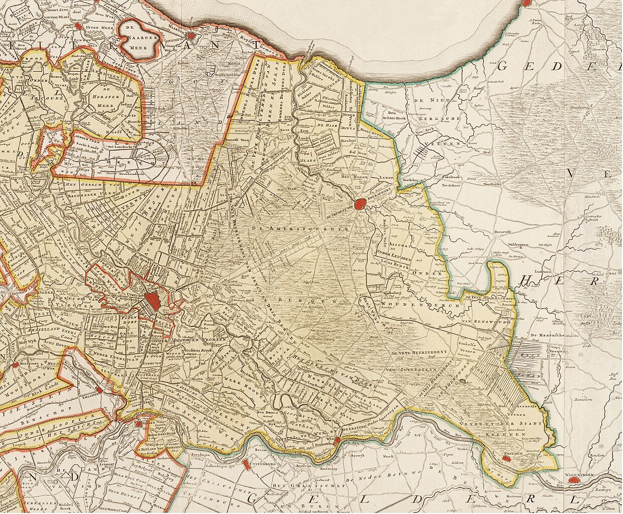
File:DeRoij1715UltrajectinæCr.jpg
Jump to navigation
Jump to search

Size of this preview: 727 × 600 pixels. Other resolutions: 291 × 240 pixels | 582 × 480 pixels | 931 × 768 pixels | 1,241 × 1,024 pixels | 2,483 × 2,048 pixels | 5,337 × 4,403 pixels.
Original file (5,337 × 4,403 pixels, file size: 9.38 MB, MIME type: image/jpeg)
Captions
Captions
Add a one-line explanation of what this file represents
| Author |
Bernard de Roij, with Nic. Visscher jr. |
|||||||||||||||||||||||
| Description |
English: Map of de Roij: Tabula nova provinciæ Ultrajectinæ / quam jussu Nob. hujus Dominij Ordinum emensus est Bernardus du Roy geometra et in lucem edidit Nicol. Visscher - after 1715 (Utrecht in the Netherlands). cropped Nederlands: kaart van Visscher: Tabula nova provinciæ Ultrajectinæ / quam jussu Nob. hujus Dominij Ordinum emensus est Bernardus du Roy geometra et in lucem edidit Nicol. Visscher (Utrecht, na 1715). uitsnede |
|||||||||||||||||||||||
| Date | (after) 1715 | |||||||||||||||||||||||
| Collection |
|
|||||||||||||||||||||||
| Source/Photographer | Imagebase Old Maps of UB VU | |||||||||||||||||||||||
| Permission (Reusing this file) |
|
|||||||||||||||||||||||

File history
Click on a date/time to view the file as it appeared at that time.
| Date/Time | Thumbnail | Dimensions | User | Comment | |
|---|---|---|---|---|---|
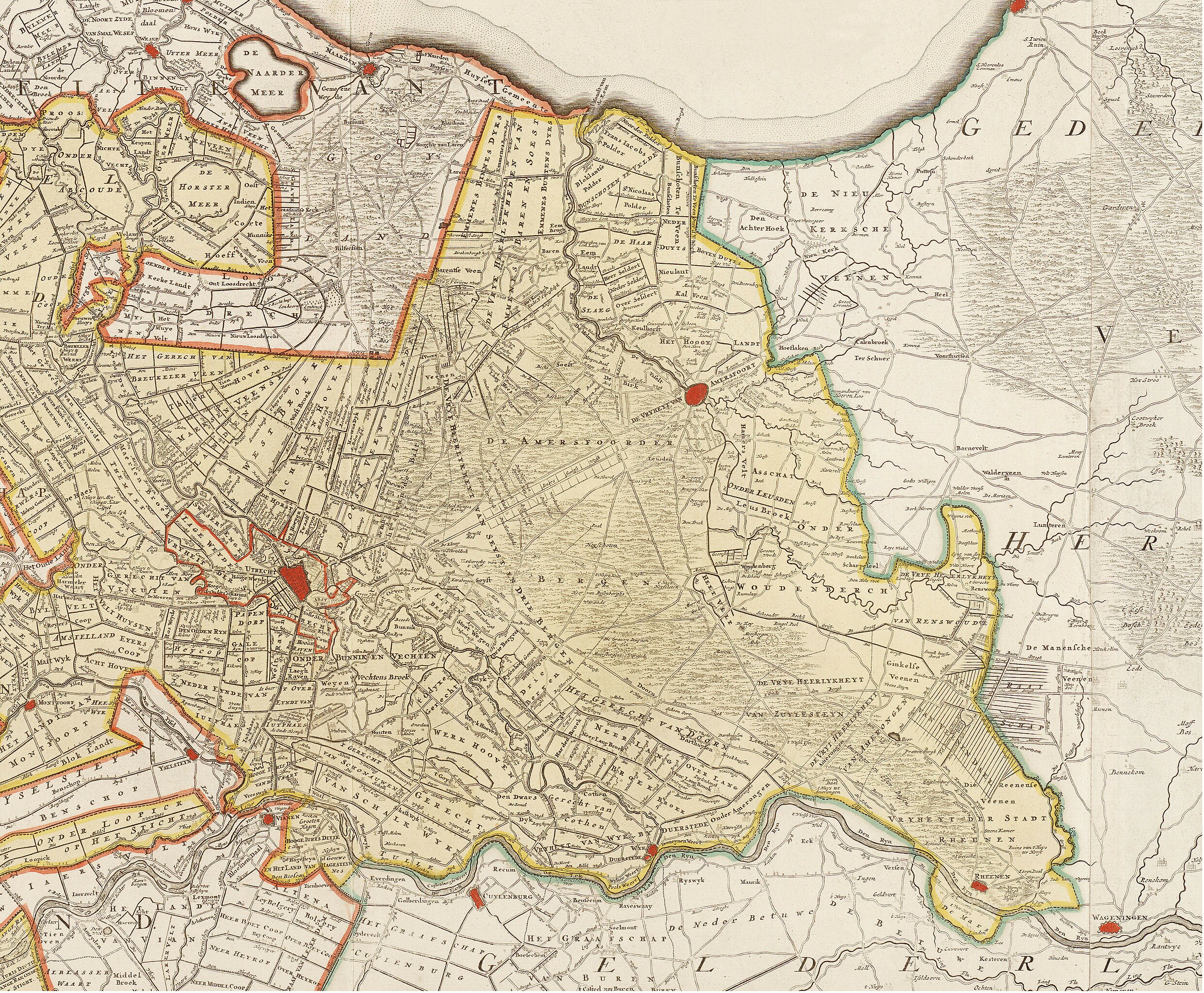
| current | 18:19, 23 September 2015 | | 5,337 × 4,403 (9.38 MB) | Dick Bos (talk | contribs) | {{Artwork |Description = {{en|Map of Visscher: Ultraiectini Dominii tabula / multo aliis auctior et correctior per Nic. Visscher ; R. de Hooghe fecit. before 1677 (Utrecht in the Netherlands). '''''cropped'''''}}{{nl|kaart van Visscher: Ultraiectini Do... |
You cannot overwrite this file.
File usage on Commons
The following 3 pages use this file:
File usage on other wikis
The following other wikis use this file:
- Usage on nl.wikipedia.org