File:Debris-LEO1280.jpg
Jump to navigation
Jump to search
Size of this preview: 600 × 600 pixels. Other resolutions: 240 × 240 pixels | 480 × 480 pixels | 768 × 768 pixels | 1,024 × 1,024 pixels | 1,280 × 1,280 pixels.
Original file (1,280 × 1,280 pixels, file size: 258 KB, MIME type: image/jpeg)
Captions
Captions
Add a one-line explanation of what this file represents
| Description |
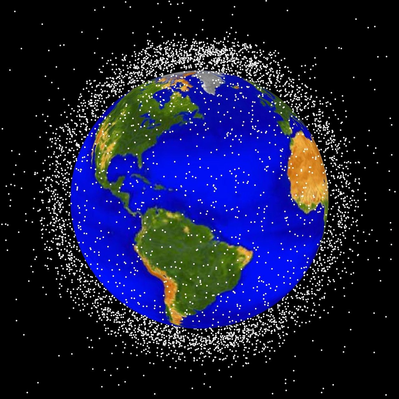
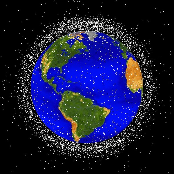
English: debris plot by NASA
The following graphics are computer generated images of objects in Earth orbit that are currently being tracked. Approximately 95% of the objects in this illustration are orbital debris, i.e., not functional satellites. The dots represent the current location of each item. The orbital debris dots are scaled according to the image size of the graphic to optimize their visibility and are not scaled to Earth. These images provide a good visualization of where the greatest orbital debris populations exist. Below are the graphics generated from different observation points. LEO stands for low Earth orbit and is the region of space within 2,000 km of the Earth's surface. It is the most concentrated area for orbital debris. Español: Basura espacial localizada en órbita baja terrestre (imagen generada por ordenador).
Deutsch: Grafik der NASA zur Darstellung von Weltraumschrott Die Grafik ist ein computergeneriertes Bild von Objekten, die sich derzeit in der Erdumlaufbahn befinden. Etwa 95 % der Objekte stellen Weltraumschrott, zum Beispiel nicht mehr funktionstüchtige Satelliten dar und zeigen die aktuelle Position der Objekte. Die Punkte sind so skaliert, dass sie auf dem Bild gut erkennbar sind. Sie stellen nicht das korrekte Größenverhältnis der Objekte zur Erde dar. Das Bild gibt einen guten Überblick, wo sich die meisten Weltraumtrümmer befinden. Es wurden verschiedene Grafiken aus verschiedenen Blickwinkeln generiert. LEO steht dabei für „low Earth orbit” (niedrige Erdumlaufbahn), und bezeichnet den Teil des Weltraums in einer Höhe von ca. 2.000 km. Das ist der Bereich mit der höchsten Dichte an Weltraumschrott. |
| Source | http://orbitaldebris.jsc.nasa.gov/photogallery/beehives.html#leo |
| Author | NASA employee |
| This file is in the public domain in the United States because it was solely created by NASA. NASA copyright policy states that "NASA material is not protected by copyright unless noted". (See Template:PD-USGov, NASA copyright policy page or JPL Image Use Policy.) | ||
 |
Warnings:
|
File history
Click on a date/time to view the file as it appeared at that time.
| Date/Time | Thumbnail | Dimensions | User | Comment | |
|---|---|---|---|---|---|
| current | 16:48, 1 February 2005 | | 1,280 × 1,280 (258 KB) | Srbauer (talk | contribs) | debris plot by NASA |
You cannot overwrite this file.
File usage on Commons
The following 2 pages use this file:
File usage on other wikis
The following other wikis use this file:
- Usage on ar.wikipedia.org
- Usage on ast.wikipedia.org
- Usage on bg.wikipedia.org
- Usage on ca.wikipedia.org
- Usage on cs.wikipedia.org
- Usage on da.wikipedia.org
- Usage on de.wikipedia.org
- Weltraummüll
- Weltraumhaftung
- Portal:Recht/Lesenswerte Artikel
- Benutzer:Bricktop1/Exzellente Artikel Raumfahrt
- Portal:Umwelt- und Naturschutz/Artikel des Monats
- Wikipedia:WikiProjekt Völkerrecht/Lesenswerte Artikel
- Benutzer:Jaybear
- Wikipedia Diskussion:Hauptseite/Artikel des Tages/Archiv/Vorschläge/2012/1
- Benutzer:Arieswings
- Wikipedia:Café/Bilderrätsel/Archiv/3
- Wikipedia:Auskunft/Archiv/2013/Woche 41
- Wikipedia:Hauptseite/Archiv/27. Januar 2012
- Weltraumrecht
- Wikipedia:Auskunft/Archiv/2016/Woche 41
- Usage on de.wiktionary.org
- Usage on es.wikipedia.org
- Usage on eu.wikipedia.org
- Usage on fr.wikipedia.org
- Débris spatial
- Discussion:Débris spatial
- Wikipédia:Boîtes utilisateur aversion
- Wikipédia:Statistiques des anecdotes de la page d'accueil/Visibilité des anecdotes (2018)
- Discussion:Débris spatial/LSV 15273
- Utilisatrice:Alpha Orionis643/Brouillon
- Wikipédia:Statistiques des anecdotes de la page d'accueil/Visibilité des anecdotes (2018)/2018 06
- Projet:Aide et accueil/Twitter/Tweets/archives/juin 2018
- Wikipédia:Le saviez-vous ?/Archives/2018
- Utilisateur:F123/Boîtes Utilisateur
- Utilisateur:Gogotus
- Modèle:Utilisateur anti pollution spatiale
- Utilisateur:IsItKandar
- Usage on hu.wikipedia.org
- Usage on it.wikipedia.org
- Usage on it.wikiquote.org
- Usage on ja.wikipedia.org
- Usage on lb.wikipedia.org
View more global usage of this file.