File:Deep Springs College and Chocolate Mountain from behind Crystal Peak, White Mountains, Deep Springs Valley, elevation 1625 m (5330 ft) (32567279342).jpg
Jump to navigation
Jump to search
Size of this preview: 800 × 600 pixels. Other resolutions: 320 × 240 pixels | 640 × 480 pixels | 1,024 × 768 pixels | 1,280 × 960 pixels | 2,560 × 1,920 pixels | 3,648 × 2,736 pixels.
Original file (3,648 × 2,736 pixels, file size: 6.08 MB, MIME type: image/jpeg)
Captions
Captions
Add a one-line explanation of what this file represents
Summary
[edit]_(32567279342).jpg&action=edit§ion=1)
| Description |
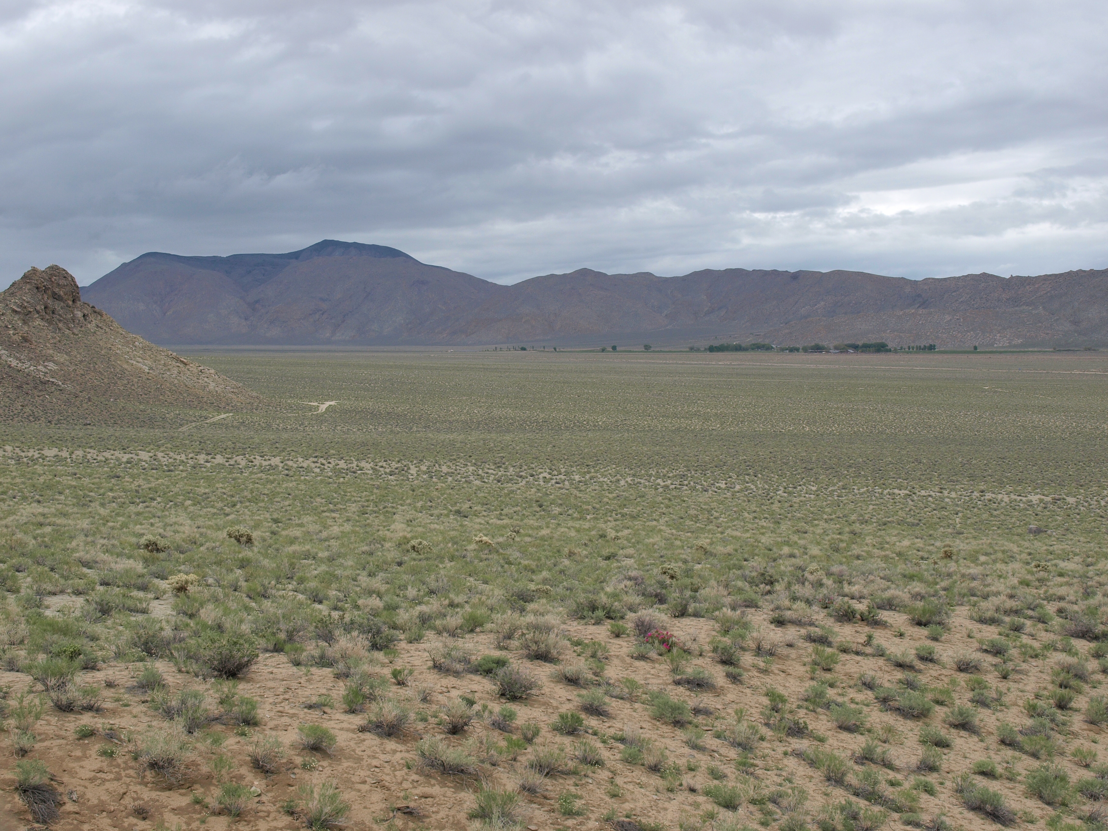
Deep Springs College and Chocolate Mountain from behind Crystal Peak, California, White Mountains, Deep Springs Valley, elevation 1625 m (5330 ft). Visible in the foreground are beavertail cactus (Opuntia basilaris var. basilaris), silver cholla (Cylindropuntia echinocarpa), desert pincushion (Chaenactis stevioides), cheesebush (Ambrosia salsola), hopsage (Grayia spinosa), etc. |
| Date | Taken on 8 May 2016, 14:48 |
| Source | Deep Springs College and Chocolate Mountain from behind Crystal Peak, White Mountains, Deep Springs Valley, elevation 1625 m (5330 ft) |
| Author | Jim Morefield from Nevada, USA |
| Camera location | | View this and other nearby images on: OpenStreetMap |
|---|
_(32567279342).jpg¶ms=037.366211_N_-118.024662_E_globe:Earth_type:camera_source:Flickr_&language=en)
Licensing
[edit]_(32567279342).jpg&action=edit§ion=2)
This file is licensed under the Creative Commons Attribution-Share Alike 2.0 Generic license.
- You are free:
- to share – to copy, distribute and transmit the work
- to remix – to adapt the work
- Under the following conditions:
- attribution – You must give appropriate credit, provide a link to the license, and indicate if changes were made. You may do so in any reasonable manner, but not in any way that suggests the licensor endorses you or your use.
- share alike – If you remix, transform, or build upon the material, you must distribute your contributions under the same or compatible license as the original.
| This image was originally posted to Flickr by Jim Morefield at https://flickr.com/photos/127605180@N04/32567279342. It was reviewed on 15 March 2024 by FlickreviewR 2 and was confirmed to be licensed under the terms of the cc-by-sa-2.0. |
File history
Click on a date/time to view the file as it appeared at that time.
| Date/Time | Thumbnail | Dimensions | User | Comment | |
|---|---|---|---|---|---|
| current | 19:42, 15 March 2024 | | 3,648 × 2,736 (6.08 MB) | Animalparty (talk | contribs) | Transferred from Flickr via #flickr2commons |
You cannot overwrite this file.
File usage on Commons
There are no pages that use this file.
_(32567279342).jpg&oldid=894583257)