File:Dushanbe area hike (17777892141).jpg
Jump to navigation
Jump to search
No higher resolution available.
Dushanbe_area_hike_(17777892141).jpg (640 × 480 pixels, file size: 48 KB, MIME type: image/jpeg)
Captions
Captions
Add a one-line explanation of what this file represents
Summary
[edit].jpg&action=edit§ion=1)
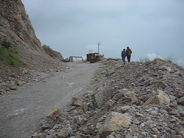
| Description | I joined a local hiking group for an outing today: the group is Hike Tajikistan. We went out about 25km NE of Dushanbe to a cement factory that sits on a ridge. From there we walked nearly to the top of the ridge. Great views and a nice walk, but a storm rolled in, so we turned back short of the summit. |
| Date | |
| Source | Dushanbe area hike |
| Author | Prince Roy from Ho Chi Minh City, Vietnam |
| Camera location | | View this and other nearby images on: OpenStreetMap |
|---|
.jpg¶ms=038.685938_N_0068.892242_E_globe:Earth_type:camera_source:Flickr_&language=en)
Licensing
[edit].jpg&action=edit§ion=2)
This file is licensed under the Creative Commons Attribution 2.0 Generic license.
- You are free:
- to share – to copy, distribute and transmit the work
- to remix – to adapt the work
- Under the following conditions:
- attribution – You must give appropriate credit, provide a link to the license, and indicate if changes were made. You may do so in any reasonable manner, but not in any way that suggests the licensor endorses you or your use.
| This image, originally posted to Flickr, was reviewed on 31 October 2020 by the administrator or reviewer Leoboudv, who confirmed that it was available on Flickr under the stated license on that date. |
File history
Click on a date/time to view the file as it appeared at that time.
| Date/Time | Thumbnail | Dimensions | User | Comment | |
|---|---|---|---|---|---|
| current | 20:12, 26 October 2020 | | 640 × 480 (48 KB) | Matlin (talk | contribs) | Transferred from Flickr via #flickr2commons |
You cannot overwrite this file.
File usage on Commons
The following page uses this file:
.jpg&oldid=888849797)