File:East Ayrshire UK location map.svg
Zur Navigation springen
Zur Suche springen

Größe der PNG-Vorschau dieser SVG-Datei: 403 × 599 Pixel. Weitere Auflösungen: 161 × 240 Pixel | 323 × 480 Pixel | 517 × 768 Pixel | 689 × 1.024 Pixel | 1.378 × 2.048 Pixel | 905 × 1.345 Pixel.
Originaldatei (SVG-Datei, Basisgröße: 905 × 1.345 Pixel, Dateigröße: 1,38 MB)
Bildtexte
Kurzbeschreibungen
Ergänze eine einzeilige Erklärung, was diese Datei darstellt.
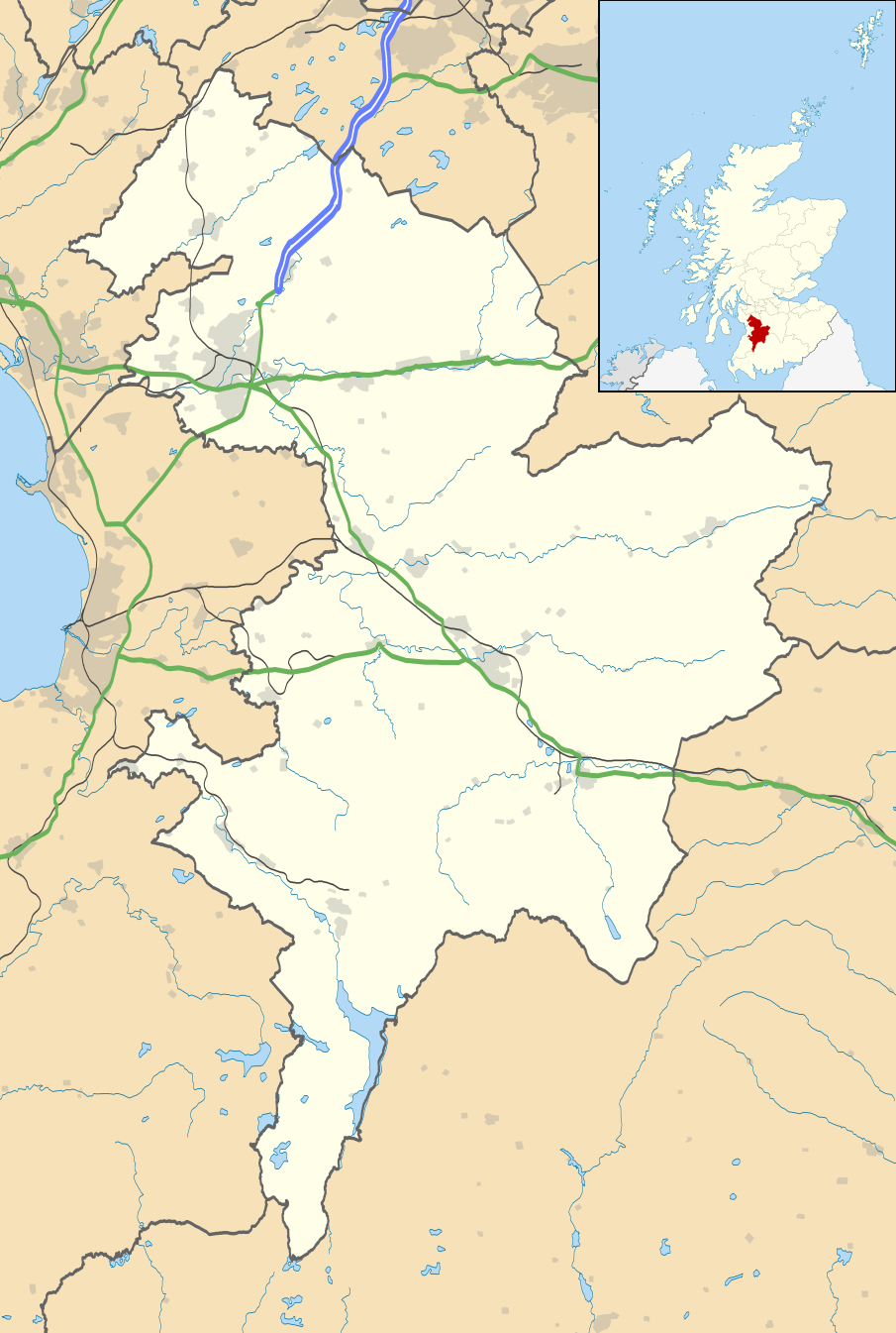
Map of East Ayrshire, UK
| Beschreibung |
Blank map of East Ayrshire, UK with the following information shown:
Equirectangular map projection on WGS 84 datum, with N/S stretched 170% Geographic limits:
|
| Datum | |
| Quelle |
|
| Urheber | Nilfanion, created using Ordnance Survey data |
| Genehmigung (Weiternutzung dieser Datei) |
Diese Datei ist unter der Creative-Commons-Lizenz „Namensnennung – Weitergabe unter gleichen Bedingungen 3.0 nicht portiert“ lizenziert. Namensnennung: Contains Ordnance Survey data © Crown copyright and database right
|
| Andere Versionen | File:East Ayrshire UK blank map.svg - Blank map |
Dateiversionen
Klicke auf einen Zeitpunkt, um diese Version zu laden.
| Version vom | Vorschaubild | Maße | Benutzer | Kommentar | |
|---|---|---|---|---|---|
| aktuell | 20:30, 26. Sep. 2010 | | 905 × 1.345 (1,38 MB) | Nilfanion (Diskussion | Beiträge) | tweak m-way colour |
| 20:09, 26. Sep. 2010 |  | 905 × 1.345 (1,38 MB) | Nilfanion (Diskussion | Beiträge) | {{Information |Description=Blank map of East Ayrshire, UK with the following information shown: *Administrative borders *Coastline, lakes and rivers *Roads and railways *Urban areas Equirectangular map projection on WGS 84 datum, with |
Du kannst diese Datei nicht überschreiben.
Dateiverwendung
Die folgende Seite verwendet diese Datei:
Globale Dateiverwendung
Die nachfolgenden anderen Wikis verwenden diese Datei:
- Verwendung auf ar.wikipedia.org
- Verwendung auf bg.wikipedia.org
- Verwendung auf ceb.wikipedia.org
- Verwendung auf de.wikipedia.org
- Verwendung auf en.wikipedia.org
- East Ayrshire
- Kilmarnock
- Cumnock
- Loudoun
- Newmilns
- Rugby Park
- Galston, East Ayrshire
- Auchinleck
- Auchinleck House
- Sorn, East Ayrshire
- Drongan
- Hurlford
- Darvel
- Fenwick, East Ayrshire
- Stewarton
- Patna, East Ayrshire
- Ochiltree
- Catrine
- Mauchline
- Kilmaurs
- Dalmellington
- Moscow, East Ayrshire
- Glenbuck
- Rankinston
- New Cumnock
- Dunlop, East Ayrshire
- Lugton
- Muirkirk
- Polnessan
- Skares
- Gatehead, East Ayrshire
- New Farm Loch
- Rowallan Castle
- Dumfries House
- University Hospital Crosshouse
- Auchmillan
- Back Rogerton
- Crosshouse
- Riccarton, East Ayrshire
- Montgreenan
- Bellsbank
- Kilmarnock Infirmary
- Kirklandside Hospital
- Logan, East Ayrshire
Weitere globale Verwendungen dieser Datei anschauen.