File:East Germany location map.svg
跳转到导航
跳转到搜索

此SVG文件的PNG预览的大小:469 × 599像素。 其他分辨率:188 × 240像素 | 376 × 480像素 | 601 × 768像素 | 802 × 1,024像素 | 1,604 × 2,048像素 | 618 × 789像素。
原始文件 (SVG文件,尺寸为618 × 789像素,文件大小:966 KB)
说明
说明
添加一行文字以描述该文件所表现的内容
| 描述 |
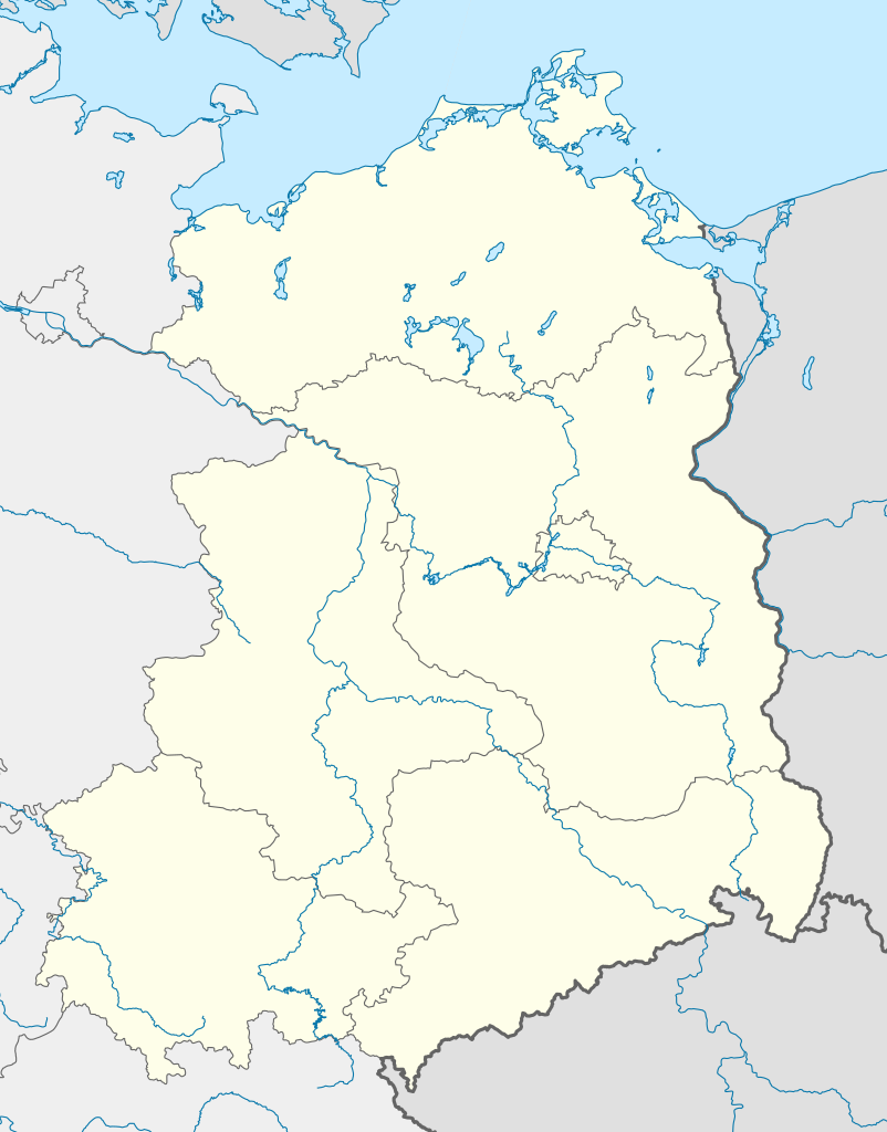
Deutsch: Positionskarte von Ostdeutschland (neue Länder + Gesamtberlin) mit Gewässern
Quadratische Plattkarte, N-S-Streckung 150 %. Geographische Begrenzung der Karte:
English: Location map of New states of Germany (New Länder + Great-Berlin) with waterbodies
Equirectangular projection, N/S stretching 150 %. Geographic limits of the map:
|
| 日期 | |
| 来源 |
自己的作品, based on: |
| 作者 |
TUBS |
| 其他版本 |
此文件衍生的作品: NOFV-Oberliga 1991.jpg Bundesrepublik Deutschland (vor 1990 nur West-Deutschland):
Deutsche Demokratische Republik (mit BRD im Ausschnitt):
Ostdeutschland (vor 1990 Deutsche Demokratische Republik):
Deutschland zwischen Mai 1945 und Oktober 1949:
Thematisch:
Deutsches Reich (1918–1945) (best used with this template (de)):
|


_23_May_1949_-_6_Oct_1949.svg)


_location_map.svg)
_location_map_2013.svg)


我,本作品著作权人,特此采用以下许可协议发表本作品:
本文件采用知识共享署名-相同方式共享 3.0 未本地化版本许可协议授权。
- 您可以自由地:
- 共享 – 复制、发行并传播本作品
- 修改 – 改编作品
- 惟须遵守下列条件:
- 署名 – 您必须对作品进行署名,提供授权条款的链接,并说明是否对原始内容进行了更改。您可以用任何合理的方式来署名,但不得以任何方式表明许可人认可您或您的使用。
- 相同方式共享 – 如果您再混合、转换或者基于本作品进行创作,您必须以与原先许可协议相同或相兼容的许可协议分发您贡献的作品。

|
已授权您依据自由软件基金会发行的无固定段落及封面封底文字(Invariant Sections, Front-Cover Texts, and Back-Cover Texts)的GNU自由文件许可协议1.2版或任意后续版本的条款,复制、传播和/或修改本文件。该协议的副本请见“GNU Free Documentation License”。 |
您可以选择您需要的许可协议。
文件历史
点击某个日期/时间查看对应时刻的文件。
| 日期/时间 | 缩略图 | 大小 | 用户 | 备注 | |
|---|---|---|---|---|---|
| 当前 | 2010年4月21日 (三) 16:57 | | 618 × 789(966 KB) | TUBS(留言 | 贡献) | {{Information |Description= {{de|Positionskarte von Ostdeutschland (neue Länder + Gesamtberlin) mit Gewässern}} Quadratische Plattkarte, N-S-Streckung 150 %. Geographische Begrenzung der Karte: * N: |
您不可以覆盖此文件。
文件用途
以下33个页面使用本文件:
- File:Deutschland Autobahnen.svg
- File:East-West-Germany-October 1949-July 1952.svg
- File:East Germany location map.svg
- File:Germany, Federal Republic of location map 23 May 1949 - 6 Oct 1949.svg
- File:Germany, Federal Republic of location map April 1952 - August 1955.svg
- File:Germany, Federal Republic of location map December 1950 - April 1952.svg
- File:Germany, Federal Republic of location map January 1957 - October 1990.svg
- File:Germany, Federal Republic of location map October 1949 - November 1950.svg
- File:Germany, Federal Republic of location map September 1955 - December 1956.svg
- File:Germany, German Democratic Republic, administrative divisions (+capitals +water) - de - colored.svg
- File:Germany, German Democratic Republic, administrative divisions (+capitals +water) - de - monochrome.svg
- File:Germany, German Democratic Republic, administrative divisions (+capitals +water) - zh-hans - colored.svg
- File:Germany, German Democratic Republic, administrative divisions (+capitals +water) - zh-hant - colored.svg
- File:Germany, German Democratic Republic location map January 1957 - October 1990.svg
- File:Germany, German Democratic Republic location map July 1952 - January 1957.svg
- File:Germany, German Democratic Republic location map October 1949 - July 1952.svg
- File:Germany, German Democratic Republic location map w·o FRG July 1952 - October 1990.svg
- File:Germany, German Democratic Republic location map w·o FRG October 1949 - June 1952.svg
- File:Germany, location map (SBZ perspective) 23 May 1949 - 6 Oct 1949.svg
- File:Germany2 location map.svg
- File:Germany location map.svg
- File:Germany location map 23 April 1949 - 22 May 1949.svg
- File:Germany location map 8 Jun 1947 - 22 Apr 1949.svg
- File:Germany location map April 1992 - July 1992.svg
- File:Germany location map August 1992 - June 1993.svg
- File:Germany location map July 1993 - December 2009.svg
- File:Germany location map October 1990 - March 1992.svg
- File:Germany location map labeled 8 Jun 1947 - 22 Apr 1949.svg
- File:Lage Freiberg in Deutschland.png
- File:NOFV-Oberliga 1991.jpg
- File:Relief Map of Germany.png
- File:Relief Map of Germany.svg
- Template:Germany location map/other versions
_-_de_-_colored.svg)
_-_de_-_monochrome.svg)
_-_zh-hans_-_colored.svg)
_-_zh-hant_-_colored.svg)
全域文件用途
以下其他wiki使用此文件:
- ar.wikipedia.org上的用途
- ceb.wikipedia.org上的用途
- de.wikipedia.org上的用途
- Sportclub (DDR)
- Fußball-Regionalliga Nordost (2012)
- Fußball-Regionalliga 1997/98
- Fußball-Regionalliga 1998/99
- Fußball-Regionalliga 1999/2000
- Fußball-Oberliga Nordost 2007/08
- Vorlage:Positionskarte Deutschland Neue Bundesländer
- Wikipedia:Kartenwerkstatt/Positionskarten/Europa
- Jagdfliegergeschwader 1
- Datei:Bornkinnel Verbreitung.png
- Fußball-Oberliga Nordost 1993/94
- Fußball-Oberliga Nordost 1992/93
- Fußball-Oberliga Nordost 1991/92
- DDR-Fußball-Liga 1990/91
- Fußball-Oberliga Nordost 1994/95
- Eishockey-Regionalliga 2009/10
- Fußball-Oberliga Nordost 2008/09
- Fußball-Oberliga Nordost 2009/10
- Fußball-Oberliga Nordost 1998/99
- Fußball-Oberliga Nordost 1997/98
- Fußball-Oberliga Nordost 2010/11
- Jagdfliegergeschwader 8
- Jagdfliegergeschwader 7
- Fußball-Oberliga Nordost 2011/12
- Benutzer:JoeXHD/Artikelwerkstatt Landkarten
- Fliegerausbildungsgeschwader 15
- Fußball-Oberliga Nordost 2012/13
- Fußball-Regionalliga Nordost 2012/13
- Fußball-Regionalliga Nordost 2013/14
- Fußball-Oberliga Nordost 2013/14
- Fußball-Regionalliga 2013/14 (Frauen)
- Fußball-Regionalliga Nordost 2014/15
- Fußball-Oberliga 2014/15
- Fußball-Regionalliga 2014/15 (Frauen)
- Fußball-Oberliga Nordost 2014/15
- Benutzer:Scialfa/Sportclubs
- Fußball-Regionalliga Nordost 2015/16
- Fußball-Oberliga Nordost 2015/16
- Fußball-Regionalliga 2015/16 (Frauen)
- Benutzer:JoeXHD/Artikelwerkstatt/Landkarten/U19-Fußball Deutschland
- Fußball-Regionalliga Nordost 2016/17
- Fußball-Oberliga Nordost 2016/17
- Fußball-Regionalliga 2016/17 (Frauen)
- Fußball-Oberliga 2016/17
- Fußball-Regionalliga Nordost 2017/18
- Fußball-Oberliga Nordost 2017/18
- Fußball-Regionalliga Nordost 2018/19
查看此文件的更多全域用途。