File:El Golf, Santiago (5125111281).jpg
Jump to navigation
Jump to search

Size of this preview: 448 × 599 pixels. Other resolutions: 179 × 240 pixels | 359 × 480 pixels | 574 × 768 pixels | 766 × 1,024 pixels | 1,288 × 1,722 pixels.
Original file (1,288 × 1,722 pixels, file size: 349 KB, MIME type: image/jpeg)
Captions
Captions
Add a one-line explanation of what this file represents
Summary
[edit].jpg&action=edit§ion=1)
| Description |
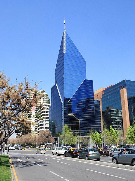
English: This is the view looking south along El Golf from Plaza Loreto, Santiago, Chile. El Golf, Santiago |
||||||||||
| Date | |||||||||||
| Source | Flickr | ||||||||||
| Author | Robert Cutts from Bristol, UK | ||||||||||
| Permission (Reusing this file) |
This file is licensed under the Creative Commons Attribution 2.0 Generic license.
|
||||||||||
| Camera location | | View this and other nearby images on: OpenStreetMap |
|---|
.jpg¶ms=-33.463039_N_-070.647941_E_globe:Earth_type:camera_source:Flickr_&language=en)
File history
Click on a date/time to view the file as it appeared at that time.
| Date/Time | Thumbnail | Dimensions | User | Comment | |
|---|---|---|---|---|---|
| current | 22:00, 12 November 2014 | | 1,288 × 1,722 (349 KB) | SteinsplitterBot (talk | contribs) | Bot: Image rotated by 90° (EXIF-Orientation set from 8 to 1, rotated 0°) |
| 20:32, 12 November 2014 |  | 1,722 × 1,288 (349 KB) | Warko (talk | contribs) | Transferred from Flickr via Flickr2commons |
You cannot overwrite this file.
File usage on Commons
The following page uses this file:
File usage on other wikis
The following other wikis use this file:
- Usage on es.wikipedia.org
- Usage on pt.wikipedia.org
- Usage on www.wikidata.org
.jpg&oldid=875055920)