File:Estonia adm location map.svg

Původní soubor (soubor SVG, nominální rozměr: 1 666 × 1 484 pixelů, velikost souboru: 349 KB)
Popisky
Popisky
Popis[editovat]
| Popis |
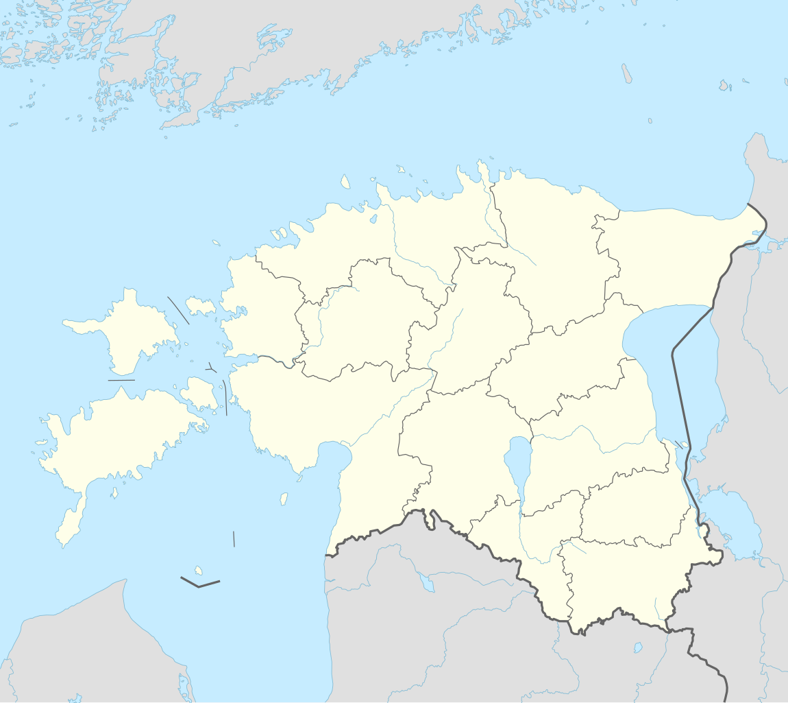
Deutsch: Positionskarte von Estland
English: Location map of Estonia
|
||||||||||||
| Datum | |||||||||||||
| Zdroj |
Vlastní dílo pomocí:
|
||||||||||||
| Autor | NordNordWest | ||||||||||||
| Další verze |
|
||||||||||||
_location_map.svg)

|
Tato mapa byla vytvořena nebo vylepšena v německé Kartenwerkstatt (Mapová laboratoř). Můžete také navrhnout mapy k vylepšení.
|
Licence[editovat]
Usage of this file with:

explanatory notes: Legally binding is only the full legalcode. For a free usage I recommend to respect the following licence conditions:
1. Provide my name as given above: NordNordWest,
2. a copy of, or the URI for, the applicable license: https://creativecommons.org/licenses/by-sa/3.0/de/legalcode,
3. the title of the work,
4. in the case of an adaptation, a credit identifying the use of the work in the adaptation.
This license and the rights granted hereunder will terminate automatically upon any breach by you of the terms of this license. Any of the above conditions can be waived if you get permission from the copyright holder. If you have questions or wish differing conditions, please contact me through nnwest or my discussion page ![]() t-online.de
t-online.de
- Dílo smíte:
- šířit – kopírovat, distribuovat a sdělovat veřejnosti
- upravovat – pozměňovat, doplňovat, využívat celé nebo částečně v jiných dílech
- Za těchto podmínek:
- uveďte autora – Máte povinnost uvést autorství, poskytnout odkaz na licenci a uvést, pokud jste provedli změny. Toho můžete docílit jakýmkoli rozumným způsobem, avšak ne způsobem naznačujícím, že by poskytovatel licence schvaloval nebo podporoval vás nebo vaše užití díla.
- zachovejte licenci – Pokud tento materiál jakkoliv upravíte, přepracujete nebo použijete ve svém díle, musíte své příspěvky šířit pod stejnou nebo slučitelnou licencí jako originál.

Historie souboru
Kliknutím na datum a čas se zobrazí tehdejší verze souboru.
| Datum a čas | Náhled | Rozměry | Uživatel | Komentář | |
|---|---|---|---|---|---|
| současná | 26. 3. 2022, 18:27 | | 1 666 × 1 484 (349 KB) | NordNordWest (diskuse | příspěvky) | upd |
| 8. 11. 2017, 17:17 |  | 1 666 × 1 391 (346 KB) | NordNordWest (diskuse | příspěvky) | corr | |
| 5. 11. 2017, 14:05 |  | 1 666 × 1 391 (346 KB) | NordNordWest (diskuse | příspěvky) | upd | |
| 24. 9. 2014, 17:19 |  | 1 666 × 1 391 (348 KB) | NordNordWest (diskuse | příspěvky) | == {{int:filedesc}} == {{Information |Description= {{de|1=Positionskarte von Estland}} {{en|1=Location map of Estonia}} {{Location map series N |stretching=180 |top=60.4 |bottom=57.2 |left=21.5 |right=28.4 }} |Source={{Own using}} * United States Natio... |
Tento soubor nemůžete přepsat.
Využití souboru
Na Commons na soubor odkazují tyto stránky:
Globální využití souboru
Tento soubor využívají následující wiki:
- Využití na als.wikipedia.org
- Využití na an.wikipedia.org
- Využití na ar.wikipedia.org
- Využití na ast.wikipedia.org
- Využití na azb.wikipedia.org
- Využití na az.wikipedia.org
Zobrazit další globální využití tohoto souboru.