File:Flag-map of New York.svg
跳至導覽
跳至搜尋

此 SVG 檔案的 PNG 預覽的大小:799 × 600 像素。 其他解析度:320 × 240 像素 | 639 × 480 像素 | 1,023 × 768 像素 | 1,280 × 961 像素 | 2,560 × 1,922 像素 | 1,172 × 880 像素。
原始檔案 (SVG 檔案,表面大小:1,172 × 880 像素,檔案大小:191 KB)
說明
說明
添加單行說明來描述出檔案所代表的內容
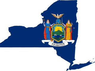
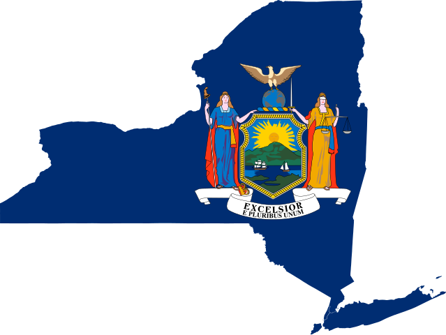
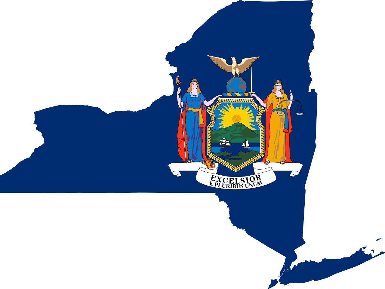
| 描述 | Flag-map of New York |
| 來源 | self-made using Image:Flag of New York.svg and Image:Map of New York County Outlines.svg |
| 作者 | Darwinek |
我,本作品的著作權持有者,決定用以下授權條款發佈本作品:
此檔案採用共享創意 姓名標示-相同方式分享 3.0 未在地化版本授權條款。
- 您可以自由:
- 分享 – 複製、發佈和傳播本作品
- 重新修改 – 創作演繹作品
- 惟需遵照下列條件:
- 姓名標示 – 您必須指名出正確的製作者,和提供授權條款的連結,以及表示是否有對內容上做出變更。您可以用任何合理的方式來行動,但不得以任何方式表明授權條款是對您許可或是由您所使用。
- 相同方式分享 – 如果您利用本素材進行再混合、轉換或創作,您必須基於如同原先的相同或兼容的條款,來分布您的貢獻成品。

|
已授權您依據自由軟體基金會發行的無固定段落、封面文字和封底文字GNU自由文件授權條款1.2版或任意後續版本,對本檔進行複製、傳播和/或修改。該協議的副本列在GNU自由文件授權條款中。 |
您可以選擇您需要的授權條款。
檔案歷史
點選日期/時間以檢視該時間的檔案版本。
| 日期/時間 | 縮圖 | 尺寸 | 用戶 | 備註 | |
|---|---|---|---|---|---|
| 目前 | 2023年6月8日 (四) 16:02 | | 1,172 × 880(191 KB) | The Grid(對話 | 貢獻) | Reverted to version as of 04:32, 28 June 2022 (UTC) rvv |
| 2022年8月6日 (六) 04:53 |  | 1,172 × 879(206 KB) | John emil hernandez(對話 | 貢獻) | same | |
| 2022年6月28日 (二) 04:32 |  | 1,172 × 880(191 KB) | Flagvisioner(對話 | 貢獻) | Please give further explanation for the addition of the outline. If not, then you are free to make a separate version with outlining.Reverted to version as of 23:22, 18 March 2022 (UTC) | |
| 2022年6月16日 (四) 13:52 |  | 1,211 × 925(516 KB) | John emil hernandez(對話 | 貢獻) | to match flags all us states | |
| 2022年3月18日 (五) 23:22 |  | 1,172 × 880(191 KB) | Flagvisioner(對話 | 貢獻) | updated flag | |
| 2020年6月28日 (日) 04:45 |  | 2,667 × 2,003(708 KB) | TheLionHasSeen(對話 | 貢獻) | Including the new coat of arms as of April 2020. | |
| 2012年1月14日 (六) 03:47 |  | 1,172 × 880(237 KB) | Fry1989(對話 | 貢獻) | new version with full arms | |
| 2011年1月10日 (一) 04:30 |  | 456 × 342(284 KB) | Fry1989(對話 | 貢獻) | reduce | |
| 2010年12月7日 (二) 00:30 |  | 460 × 345(360 KB) | Fry1989(對話 | 貢獻) | to match flag | |
| 2009年6月14日 (日) 10:46 |  | 460 × 345(360 KB) | Darwinek(對話 | 貢獻) | {{Information |Description= |Source=self-made |Date= |Author= Darwinek |Permission= |other_versions= }} |
無法覆蓋此檔案。
檔案用途
全域檔案使用狀況
以下其他 wiki 使用了這個檔案:
- ar.wikipedia.org 的使用狀況
- cs.wikipedia.org 的使用狀況
- cy.wikipedia.org 的使用狀況
- en.wikipedia.org 的使用狀況
- Dukes County, Province of New York
- Great North Woods
- Macomb's Purchase
- Area code 585
- Wikipedia:WikiProject New York City
- Template:NewYork-geo-stub
- Downstate New York
- Watkins and Flint Purchase
- Area code 607
- 2008 Democratic Party presidential primaries
- Long Level
- Wikipedia:WikiProject New York (state)
- Camp Diana-Dalmaqua
- 2008 Republican Party presidential primaries
- 1932 Democratic National Convention
- Economy of New York (state)
- User:Tim Thomason
- Buffalo Niagara Region
- 1988 Republican Party presidential primaries
- 1948 Republican Party presidential primaries
- 1940 Republican Party presidential primaries
- 1964 Republican Party presidential primaries
- 1968 Republican Party presidential primaries
- Hudson–Hoosic Watershed
- Central New York Region
- 1960 Republican Party presidential primaries
- 1944 Republican Party presidential primaries
- 2016 Democratic Party presidential candidates
- 2016 Republican Party presidential candidates
- User:Phinumu/Golf tournaments
- 1932 Democratic Party presidential primaries
- 1928 Democratic Party presidential primaries
- 1916 Republican Party presidential primaries
- User:Rasulnrasul/sandbox/bernie
- Wikipedia:The 50,000 Challenge/Northeast
檢視此檔案的更多全域使用狀況。