File:Flag-map of Ternopil Oblast.svg
Jump to navigation
Jump to search

Size of this PNG preview of this SVG file: 396 × 599 pixels. Other resolutions: 158 × 240 pixels | 317 × 480 pixels | 508 × 768 pixels | 677 × 1,024 pixels | 1,354 × 2,048 pixels | 628 × 950 pixels.
Original file (SVG file, nominally 628 × 950 pixels, file size: 35 KB)
Captions
Captions
Add a one-line explanation of what this file represents
Summary
[edit]
| Description |
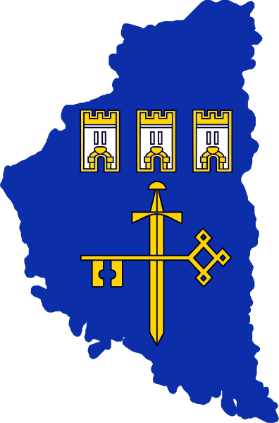
English: Flag-map of Ternopil Oblast |
| Date | |
| Source | Own work |
| Author | Дмитрий-5-Аверин |
Licensing
[edit]
I, the copyright holder of this work, hereby publish it under the following license:
This file is licensed under the Creative Commons Attribution-Share Alike 3.0 Unported license.
- You are free:
- to share – to copy, distribute and transmit the work
- to remix – to adapt the work
- Under the following conditions:
- attribution – You must give appropriate credit, provide a link to the license, and indicate if changes were made. You may do so in any reasonable manner, but not in any way that suggests the licensor endorses you or your use.
- share alike – If you remix, transform, or build upon the material, you must distribute your contributions under the same or compatible license as the original.
File history
Click on a date/time to view the file as it appeared at that time.
| Date/Time | Thumbnail | Dimensions | User | Comment | |
|---|---|---|---|---|---|
| current | 12:44, 6 September 2022 | | 628 × 950 (35 KB) | Tcr25 (talk | contribs) | Update color and iconography to match File:Flag of Ternopil Oblast |
| 17:08, 11 February 2012 |  | 628 × 950 (29 KB) | Дмитрий-5-Аверин (talk | contribs) |
You cannot overwrite this file.
File usage on Commons
The following 2 pages use this file:
File usage on other wikis
The following other wikis use this file:
- Usage on en.wikipedia.org
- Zhukiv, Ternopil Oblast
- Shutromyntsi
- Zolota Lypa
- Hutyshche
- Seret (river)
- Sydoriv
- Kudryntsi Castle
- Template:Ternopil-geo-stub
- Probizhna
- Velyki Berezhtsi
- Kolosova, Kremenets Raion, Ternopil Oblast
- Rohachyn
- Kuriany, Ukraine
- Trostianets, Saranchuky rural hromada, Ternopil Raion, Ternopil Oblast
- Shybalyn
- Dzhurynskyi
- Rusyliv Falls
- Perekhody
- Ratyshchi
- Ustia, Ukraine
- Sokyryntsi, Ternopil Oblast
- Zelenyi Hai, Ternopil Oblast
- Duliby, Ternopil Oblast
- Beremiany, Ternopil Oblast
- Uhrynkivtsi
- Khmeleva
- Ivachiv
- Kalne, Zboriv urban hromada, Ternopil Raion, Ternopil Oblast
- Zubrets
- Baznykivka
- Verbiv, Naraiv rural hromada, Ternopil Raion, Ternopil Oblast
- Bozhykiv
- Bishche
- Kozivka, Velyki Hai rural hromada, Ternopil Raion, Ternopil Oblast
- Baranivka, Ternopil Oblast
- Chervone, Ternopil Oblast
- Nyshche
- Nyrkiv
- Staromishchyna
- Ikva
- Butyn, Ukraine
- Vivsia, Ternopil Oblast
- Vilkhovets, Ternopil Raion, Ternopil Oblast
- Demnia, Ternopil Oblast
- Dibrova, Saranchuky rural hromada, Ternopil Raion, Ternopil Oblast
- Duliaby
- Dvirtsi, Ternopil Oblast
- Haiok, Ternopil Oblast
- Hutysko
- Hynovychi
View more global usage of this file.