File:Flintshire UK location map.svg
跳至導覽
跳至搜尋

此 SVG 檔案的 PNG 預覽的大小:541 × 600 像素。 其他解析度:216 × 240 像素 | 433 × 480 像素 | 693 × 768 像素 | 924 × 1,024 像素 | 1,847 × 2,048 像素 | 1,177 × 1,305 像素。
原始檔案 (SVG 檔案,表面大小:1,177 × 1,305 像素,檔案大小:758 KB)
說明
說明
添加單行說明來描述出檔案所代表的內容
| 描述 |
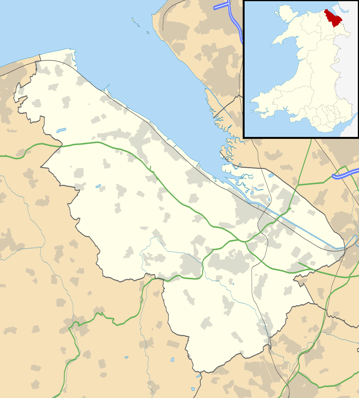
Blank map of Flintshire, UK with the following information shown:
Equirectangular map projection on WGS 84 datum, with N/S stretched 165% Geographic limits:
|
| 日期 | |
| 來源 |
|
| 作者 | Nilfanion, created using Ordnance Survey data |
| 授權許可 (重用此檔案) |
此檔案採用創用CC 姓名標示-相同方式分享 3.0 未在地化版本授權條款。 姓名標示: Contains Ordnance Survey data © Crown copyright and database right
|
| 其他版本 | File:Flintshire UK map.svg - Blank map |
檔案歷史
點選日期/時間以檢視該時間的檔案版本。
| 日期/時間 | 縮圖 | 尺寸 | 使用者 | 備註 | |
|---|---|---|---|---|---|
| 目前 | 2010年9月26日 (日) 19:33 | | 1,177 × 1,305(758 KB) | Nilfanion(留言 | 貢獻) | {{Information |Description=Blank map of Flintshire, UK with the following information shown: *Administrative borders *Coastline, lakes and rivers *Roads and railways *Urban areas Equirectangular map projection on WGS 84 datum, with N/S s |
無法覆蓋此檔案。
檔案用途
下列頁面有用到此檔案:
全域檔案使用狀況
以下其他 wiki 使用了這個檔案:
- ar.wikipedia.org 的使用狀況
- ceb.wikipedia.org 的使用狀況
- cy.wikipedia.org 的使用狀況
- da.wikipedia.org 的使用狀況
- en.wikipedia.org 的使用狀況
- List of monastic houses in Wales
- Hawarden
- Flintshire
- Flint, Flintshire
- Buckley, Flintshire
- Holywell, Flintshire
- Mold, Flintshire
- Queensferry, Flintshire
- Mostyn
- Shotton, Flintshire
- Point of Ayr
- Caergwrle
- Ewloe
- Northop Hall
- Talacre
- Caerwys
- Abermorddu
- Afonwen
- Mynydd Isa
- Sealand, Flintshire
- Bagillt
- Ogof Hesp Alyn
- Ogof Hen Ffynhonnau
- Pentre Halkyn
- Moel-y-Parc transmitting station
- Northop
- Broughton, Flintshire
- Sychdyn
- Dee Estuary
- Penyffordd
- Higher Kinnerton
- Hope, Flintshire
- Leeswood
- Treuddyn
- Nannerch
- Mancot
- Hawarden Airport
- Cilcain
- Rhosesmor
- Halkyn
- Aston Park, Flintshire
- Babell
- Gwernymynydd
- Pantymwyn
- Brynford
- Ysceifiog
檢視此檔案的更多全域使用狀況。