File:Fr Abbaye Chaalis blank map.svg
Jump to navigation
Jump to search

Size of this PNG preview of this SVG file: 297 × 329 pixels. Other resolutions: 217 × 240 pixels | 433 × 480 pixels | 693 × 768 pixels | 924 × 1,024 pixels | 1,849 × 2,048 pixels.
Original file (SVG file, nominally 297 × 329 pixels, file size: 75 KB)
Captions
Captions
Add a one-line explanation of what this file represents
Summary
[edit]
| Description |
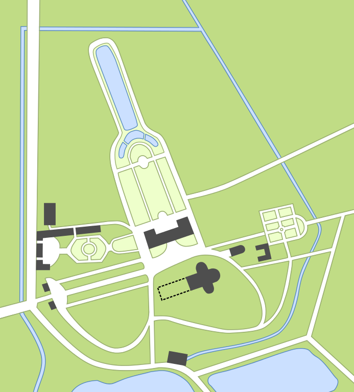
English: Map of the abbey of Chaalis, Picardie, France. Please note this map is based on combined data and might not be exactly accurate. Français : Plan actuel de l'abbaye de Chaalis, Picardie, France. Cette carte est créée à partir de la combinaison de nombreuses données, et peut contenir des erreurs de précision. |
| Date | |
| Source |
Own work. English: Data used come from cadastre, IGN 1/25000 map, satellite images on Google Maps and Bing maps, and the map on chaalis.fr Français : Les données utilisées pour créer cette image proviennent du cadastre, de la carte IGN au 1/250000ème, d'images satellites de Google Maps et de Bing Maps, et du plan publié par le site chaalis.fr |
| Author | Pethrus |
| Other versions | Fr Abbaye Chaalis map with legend.svg |
Licensing
[edit]
I, the copyright holder of this work, hereby publish it under the following licenses:

|
Permission is granted to copy, distribute and/or modify this document under the terms of the GNU Free Documentation License, Version 1.2 or any later version published by the Free Software Foundation; with no Invariant Sections, no Front-Cover Texts, and no Back-Cover Texts. A copy of the license is included in the section entitled GNU Free Documentation License. |
This file is licensed under the Creative Commons Attribution-Share Alike 4.0 International, 3.0 Unported, 2.5 Generic, 2.0 Generic and 1.0 Generic license.
- You are free:
- to share – to copy, distribute and transmit the work
- to remix – to adapt the work
- Under the following conditions:
- attribution – You must give appropriate credit, provide a link to the license, and indicate if changes were made. You may do so in any reasonable manner, but not in any way that suggests the licensor endorses you or your use.
- share alike – If you remix, transform, or build upon the material, you must distribute your contributions under the same or compatible license as the original.
You may select the license of your choice.
File history
Click on a date/time to view the file as it appeared at that time.
| Date/Time | Thumbnail | Dimensions | User | Comment | |
|---|---|---|---|---|---|
| current | 11:15, 9 April 2012 | | 297 × 329 (75 KB) | Pethrus (talk | contribs) | Fixed river/path conflict |
| 11:09, 9 April 2012 |  | 297 × 329 (75 KB) | Pethrus (talk | contribs) | == {{int:filedesc}} == {{Information |description={{en|Map of the abbey of Chaalis, Picardie, France. Please note this map is based on combined data and might not be exactly accurate.}}{{fr|Plan actuel de l'abbaye de Chaalis, Picardie, France. Cette ca... |
You cannot overwrite this file.
File usage on Commons
There are no pages that use this file.
File usage on other wikis
The following other wikis use this file:
- Usage on fr.wikipedia.org