File:Gironde department relief location map.jpg
Jump to navigation
Jump to search

Size of this preview: 479 × 599 pixels. Other resolutions: 192 × 240 pixels | 384 × 480 pixels | 614 × 768 pixels | 1,096 × 1,371 pixels.
Original file (1,096 × 1,371 pixels, file size: 580 KB, MIME type: image/jpeg)
Captions
Captions
Add a one-line explanation of what this file represents
Summary[edit]
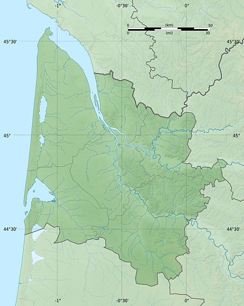
| Description |
Bords de carte : Haut : 45.7185 |
| Date | |
| Source |
Own work
|
| Author | Flappiefh |
| Other versions |
|

Licensing[edit]
I, the copyright holder of this work, hereby publish it under the following license:
This file is licensed under the Creative Commons Attribution-Share Alike 4.0 International license.
- You are free:
- to share – to copy, distribute and transmit the work
- to remix – to adapt the work
- Under the following conditions:
- attribution – You must give appropriate credit, provide a link to the license, and indicate if changes were made. You may do so in any reasonable manner, but not in any way that suggests the licensor endorses you or your use.
- share alike – If you remix, transform, or build upon the material, you must distribute your contributions under the same or compatible license as the original.
File history
Click on a date/time to view the file as it appeared at that time.
| Date/Time | Thumbnail | Dimensions | User | Comment | |
|---|---|---|---|---|---|
| current | 15:08, 18 August 2015 | | 1,096 × 1,371 (580 KB) | Flappiefh (talk | contribs) | User created page with UploadWizard |
You cannot overwrite this file.
File usage on Commons
The following 3 pages use this file:
File usage on other wikis
The following other wikis use this file:
- Usage on eo.wikipedia.org
- Bègles
- La Teste-de-Buch
- Lago de Lacanau
- Arcachon
- Le Verdon-sur-Mer
- Hourtin
- Carcans
- Lacanau
- Blaye
- Vendays-Montalivet
- Grayan-et-l'Hôpital
- Vensac
- Naujac-sur-Mer
- Braud-et-Saint-Louis
- Libourne
- Brach
- Listrac-Médoc
- Moulis-en-Médoc
- Lamarque
- CHM Montalivet
- Saint-Genès-de-Blaye
- Le Porge
- Lège-Cap-Ferret
- Arès
- Saint-Martin-Lacaussade
- Saint-Androny
- Anglade
- Fours (Ĝirondio)
- Saint-Ciers-sur-Gironde
- Talais
- Andernos-les-Bains
- Saint-Vivien-de-Médoc
- Jau-Dignac-et-Loirac
- Lanton
- Valeyrac
- Bégadan
- Castillon-la-Bataille
- Ŝablono:Situo sur mapo Francio Gironde
- Artigues-près-Bordeaux
- Biganos
- Marcheprime
- Coutras
- Vayres (Ĝirondio)
- Les Églisottes-et-Chalaures
- Ambarès-et-Lagrave
- Saint-Denis-de-Pile
- Izon (Ĝirondio)
- Saint-Sulpice-et-Cameyrac
- Saint-Émilion
- Saint-Médard-de-Guizières
View more global usage of this file.