File:Great george street os map c1964.png
Jump to navigation
Jump to search
Size of this preview: 800 × 547 pixels. Other resolutions: 320 × 219 pixels | 640 × 438 pixels | 904 × 618 pixels.
Original file (904 × 618 pixels, file size: 1 MB, MIME type: image/png)
Captions
Captions
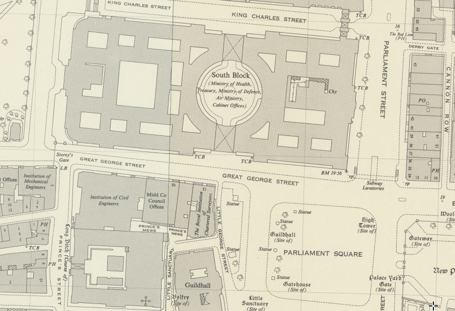
Great George Street Westminster, c1964
Summary
[edit]
| Description |
English: Great George Street Westminster, c1964 |
| Date | circa 1964 |
| Source | https://maps.nls.uk/geo/explore/side-by-side/#zoom=18&lat=51.50129&lon=-0.12798&layers=170&right=ESRIWorld |
| Author | Ornance Survey circa 1964 (site states 1044-1970 map, names Air Ministry (disbanded 1964), Ministry of Defence (founded 1964) and Middlesex County Council (disbanded 1965) |
Licensing
[edit]
This work is an Ordnance Survey map over 50 years old, which is covered by Crown Copyright which in this case expires 50 years after publication. Ordnance Survey does however ask that they be credited and that the date of publication be given.
Any ancillary rights gained through the creation of the electronic version are granted as freely usable under any circumstances.
|
This work created by the United Kingdom Government is in the public domain.
This is because it is one of the following:
HMSO has declared that the expiry of Crown Copyrights applies worldwide (ref: HMSO Email Reply)
|
 |

|
This media file is uncategorized.
Please help improve this media file by adding it to one or more categories, so it may be associated with related media files (how?), and so that it can be more easily found.
Please notify the uploader with {{subst:Please link images|File:Great george street os map c1964.png}} ~~~~ |
File history
Click on a date/time to view the file as it appeared at that time.
| Date/Time | Thumbnail | Dimensions | User | Comment | |
|---|---|---|---|---|---|
| current | 15:30, 27 May 2021 | | 904 × 618 (1 MB) | Dumelow (talk | contribs) | Uploaded a work by Ornance Survey circa 1964 (site states 1044-1970 map, names Air Ministry (disbanded 1964), Ministry of Defence (founded 1964) and Middlesex County Council (disbanded 1965) from https://maps.nls.uk/geo/explore/side-by-side/#zoom=18&lat=51.50129&lon=-0.12798&layers=170&right=ESRIWorld with UploadWizard |
You cannot overwrite this file.
File usage on Commons
There are no pages that use this file.
File usage on other wikis
The following other wikis use this file:
- Usage on en.wikipedia.org