File:Greater Manchester UK relief location map.jpg
ナビゲーションに移動
検索に移動

このプレビューのサイズ: 800 × 557 ピクセル。 その他の解像度: 320 × 223 ピクセル | 640 × 446 ピクセル | 1,024 × 714 ピクセル | 1,280 × 892 ピクセル | 1,999 × 1,393 ピクセル。
元のファイル (1,999 × 1,393 ピクセル、ファイルサイズ: 332キロバイト、MIME タイプ: image/jpeg)
キャプション
キャプション
このファイルの内容を1行で記述してください
| 解説 |
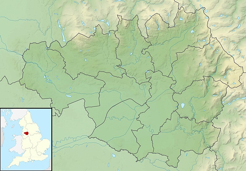
Relief map of Greater Manchester, UK. Equirectangular map projection on WGS 84 datum, with N/S stretched 165% Geographic limits:
|
| 日付 | |
| 原典 |
|
| 作者 | Nilfanion, created using Ordnance Survey data |
| 許可 (ファイルの再利用) |
このファイルはクリエイティブ・コモンズ 表示-継承 3.0 非移植ライセンスのもとに利用を許諾されています。 帰属: Contains Ordnance Survey data © Crown copyright and database right
|
| その他のバージョン | File:Greater Manchester UK district map (blank).svg - Blank map |
.svg)
ファイルの履歴
過去の版のファイルを表示するには、その版の日時をクリックしてください。
| 日付と時刻 | サムネイル | 寸法 | 利用者 | コメント | |
|---|---|---|---|---|---|
| 現在の版 | 2011年11月29日 (火) 01:37 | | 1,999 × 1,393 (332キロバイト) | Nilfanion (トーク | 投稿記録) | {{Information |Description=Relief map of Greater Manchester, UK. Equirectangular map projection on WGS 84 datum, with N/S stretched 165% Geographic limits: *West: 2.80W *East: 1.90W *North: 53.70N *South: 53.32N |Source=[[w:Ordn |
このファイルは上書きできません。
ファイルの使用状況
このファイルを使用しているページはありません。
グローバルなファイル使用状況
以下に挙げる他のウィキがこの画像を使っています:
- ar.wikipedia.org での使用状況
- bg.wikipedia.org での使用状況
- bn.wikipedia.org での使用状況
- ceb.wikipedia.org での使用状況
- el.wikipedia.org での使用状況
- en.wikipedia.org での使用状況
- Manchester Jewish Museum
- Chetham's Library
- River Irk
- Werneth Low
- Dovestone Reservoir
- Strinesdale Reservoir
- Winter Hill transmitting station
- South Manchester Synagogue
- Hollingworth Lake
- Winter Hill (North West England)
- Saddleworth Moor
- Blackstone Edge
- Chew Valley, Greater Manchester
- Chew Reservoir
- Hollingworth Reservoir
- Black Chew Head
- Hartshead Pike
- Crompton Moor
- Ogden Reservoir (Greater Manchester)
- Geography of Greater Manchester
- Bury Hebrew Congregation
- Oceânico Group Pro-Am Challenge
- Kersal Moor
- Manchester Bolton & Bury Reservoir
- Kitcliffe Reservoir
- Piethorne Reservoir
- Rooden Reservoir
- Norman Hill Reservoir
- Hanging Lees Reservoir
- Watergrove Reservoir
- Blackstone Edge Reservoir
- Brown Wardle Hill
- Yeoman Hey Reservoir
このファイルのグローバル使用状況を表示する。